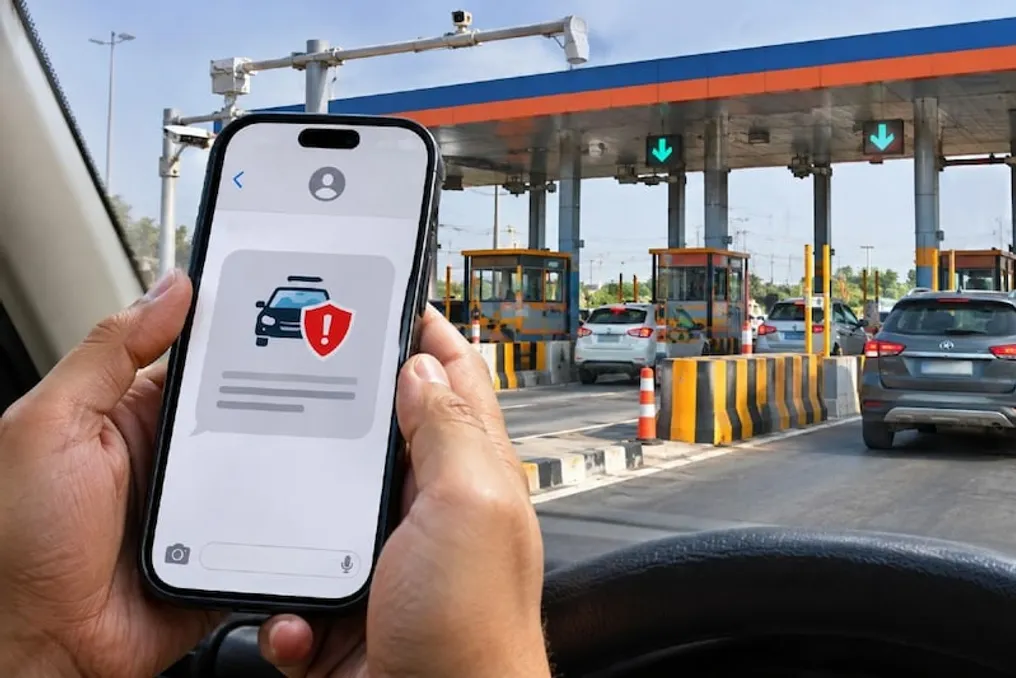
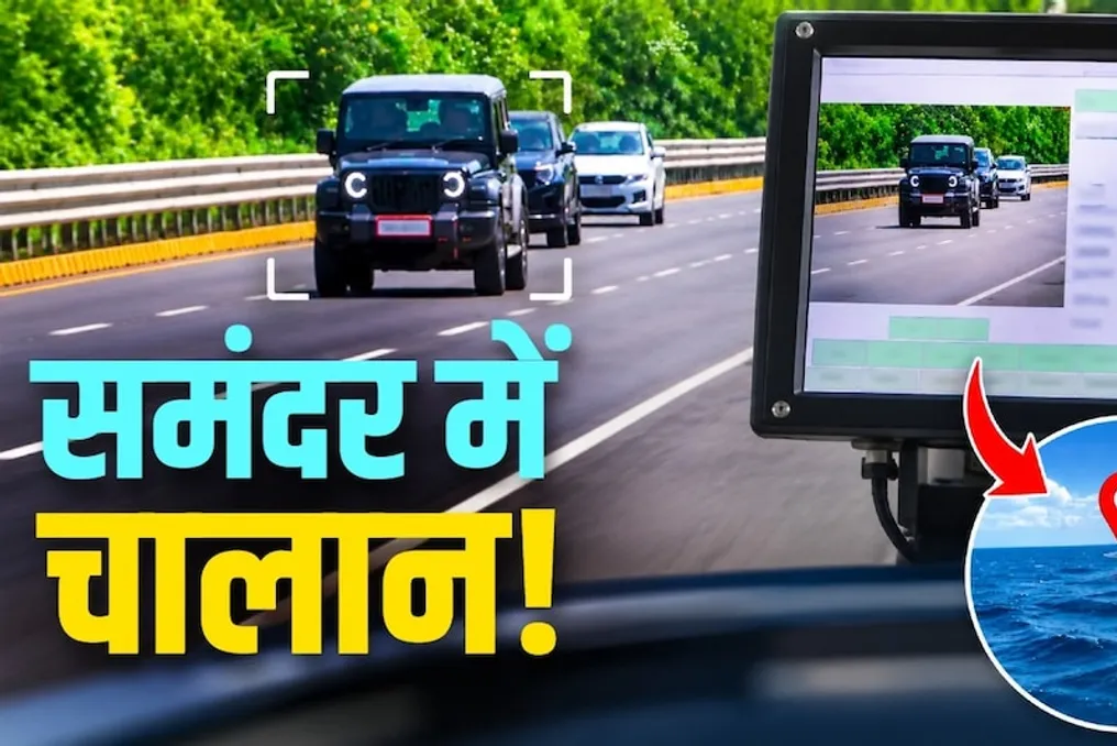
NHAI implements video surveillance system on 50,000 km of roads to automate fines for contractors
Read more
The times of India
timesofindia.indiatimes.com

NHAI implements video surveillance system on 50,000 km of roads to automate fines for contractors

The National Highways Authority of India (NHAI) has implemented a monitoring system that will prevent contractors and NHAI employees from evading action regarding road surface defects such as potholes, faded markings, rutting, and faulty lighting, which remain a frequent problem on National Highway (NH) sections.

NHAI launched a weekly inspection system covering 40 types of defects using video cameras installed on patrol vehicles, which cover nearly 50,000 kilometers of the NH network. NHAI officials reported that in addition to collecting data with precise location details and visual evidence, this information will be transmitted to the respective contractors responsible for specific sections.

A senior NHAI official noted that the cameras are capable of detecting potholes as small as two inches. Currently, failure to rectify a defect within the stipulated time incurs fines calculated according to the contract terms. He added that in the coming months, fine calculation will become fully automated, and work had been underway for the past two months to inform contractors and officers.

The system applies to all operational and maintained NHAI sections. This is significant given that the road authority has faced public criticism over the poor condition of some road sections. According to data obtained by TOI, 92,088 defects were identified through video camera footage in the two months since the system's launch. Approximately 23% of these related to faded markings, and about 15% to potholes. Although almost 72% of the defects have been rectified, about 17% remain overdue.

According to the set deadlines, contractors have two days to fill potholes, one day to repair failed lights and safety issues in work zones, and seven days to close unauthorized openings, among others. Another NHAI employee emphasized that because the defect details are backed by evidence, and every contractor and field officer can view them on the central server, disputes do not arise. He also noted that road contractors understand that timely maintenance reduces their workload. Defects are only closed after uploading and verifying remediation details with photographic evidence.

TOI learned that at a later stage, the public will also be able to view the details and provide feedback.

Similar stories

IIT Guwahati researchers use drones to model the movement of 36 thousand vehicles on Indian roads
Read more
thebetterindia.com

IIT Guwahati researchers use drones to model the movement of 36 thousand vehicles on Indian roads

On Indian roads, where cars, buses, three-wheelers, and two-wheelers are often forced to share limited space, traffic can change drastically in mere seconds. For urban planning specialists and traffic engineers, understanding this dynamic is a complex task because many traditional models assume that vehicles strictly follow lanes and maintain predictable speeds, which rarely corresponds to reality on Indian roads.

Researchers from the Indian Institute of Technology (IIT) Guwahati are working to bridge this gap. They have developed mathematical models that better account for the unpredictable behavior of transport on Indian roads by combining drone video footage, automatic vehicle tracking, and machine learning.

Tracking the positions of nearly nine million vehicles

The research team, led by Professor Akhilesh Kumar Maurya from the Department of Civil Engineering, studied traffic movement on an eight-lane divided highway on the outskirts of Delhi. Using drones equipped with high-resolution cameras, they recorded about five hours of daytime traffic in 4K resolution. These videos were then processed using DataFromSky software, which extracts vehicle movements from aerial imagery.

The result was a dataset comprising 36,818 vehicles and 8,938,920 data points on vehicle positions, captured at a frequency of 10 frames per second. The researchers categorized the vehicles into six groups: two-wheelers, three-wheelers, cars, buses, heavy commercial vehicles, and light commercial vehicles. This allowed for a detailed picture of how different types of transport moved, how closely they followed each other, and how their speed changed as traffic density increased.

Professor Maurya emphasized the need to use India-specific data, explaining that 'road conditions in India differ from the conditions in many countries where existing traffic models were developed. We need traffic data that reflects the diversity and characteristics of Indian roads.'

Drone-based data collection provides the ability to observe a large number of vehicles and their movements on a road section with high spatial and temporal detail.

The researchers found that the distance between vehicles varied depending on traffic density. On relatively free roads, vehicles maintained larger intervals, but as traffic grew, these intervals decreased. However, under severe congestion, the arrangement patterns changed again.

This variability is important because two vehicles moving under seemingly similar conditions will not necessarily move at the same speed. To understand these differences, the team tested six traffic mathematical models, including established approaches such as Greenshields and Underwood. Additionally, they trained two machine learning models: Artificial Neural Networks (ANN) and Random Forest (RF).

The most interesting aspect was the creation of stochastic fundamental diagrams. Simply put, traditional traffic models usually estimate one speed for a given traffic density. Stochastic models go further by considering the range of speeds at which vehicles can actually move under those conditions. This allows the models to represent the randomness of Indian traffic more realistically, instead of smoothing out the differences between individual vehicles.

From improving forecasts to smarter road planning

The researchers found that the Underwood model showed the greatest stability among the tested mathematical models, achieving an R² value of 0.86. Both machine learning models showed approximately 0.83.

The results obtained can find practical application in assessing highway capacity, designing intersections, determining road speeds, and improving traffic modeling. The data can also help researchers calibrate car-following models that study how drivers regulate their distance and speed relative to the vehicles ahead.

Professor Maurya noted: 'Reliable traffic management starts with models that reflect how traffic actually behaves on Indian roads. High-detail trajectory data obtained via drones allows us to capture the interaction between different types of vehicles and the greater variability that traditional traffic models often overlook.'

Such India-specific models can support more realistic traffic simulation, improve road and intersection design, manage congestion, assess capacity, and develop intelligent traffic control systems adapted to Indian conditions.

For anyone who has spent time on the roads in India, the complexity of traffic forecasting is easily understood: a car slows down, a two-wheeler enters a narrow gap, an auto-rickshaw changes lanes, and the movement of hundreds of vehicles can change in seconds. By meticulously recording these interactions, the IIT Guwahati team hopes to make traffic models more reflective of what passengers experience daily. This research is a step toward understanding not only how many vehicles use the road, but also how they move relative to each other, which can ultimately help make the daily commute more predictable.
NHAI launches new system: SMS about insurance status will be sent after passing through toll section
Read more
www.aajtak.in

NHAI launches new system: SMS about insurance status will be sent after passing through toll section

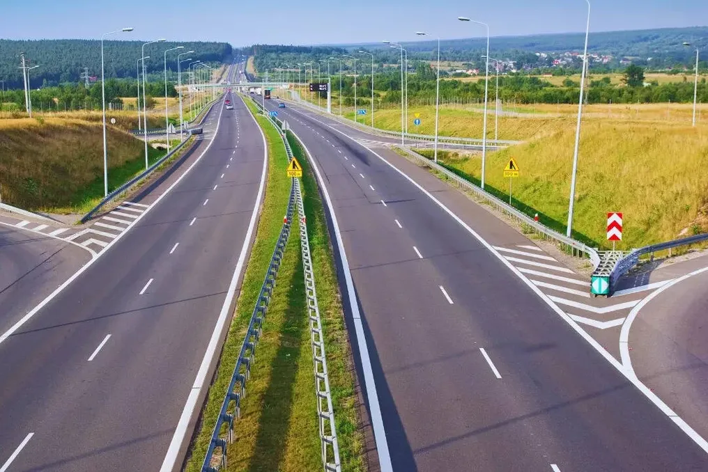
After passing through a toll section, drivers may receive a mobile message regarding their vehicle's insurance. This feature has been introduced as part of a new system launched by the National Highways Authority of India (NHAI). The system will notify the owner if their third-party insurance has expired or if they have not obtained insurance at all.

Currently, a pilot project for this system has started on one of the toll sections in Delhi. It is planned that this system will be implemented on all national highways across the country in the future. According to a TOI report, NHAI began testing on the Mundka toll section on Arban Extension Road-II (UER-II) in Delhi, where testing is currently underway to ensure system stability and improve functionality.

The entire procedure is based on data exchange between the toll section and the vehicle portal. As soon as a vehicle passes through the toll section, its information is transmitted to the Vahan database of the National Informatics Centre (NIC). Then, the system automatically checks the validity of the vehicle's insurance.

If the check shows that the third-party insurance has expired or is missing, the vehicle owner is immediately sent an SMS. This message specifies the vehicle's registration number, the time of passage through the toll section, and details about the insurance validity period. Furthermore, the owner is advised to renew the insurance.

According to one official, this message serves as a reminder to ensure timely insurance procurement to avoid penalties stipulated by the Motor Vehicles Act. Thus, it functions as a reminder notification, allowing owners to promptly obtain insurance.

Third-party insurance is mandatory in India. Nevertheless, a significant number of vehicles are operated without valid insurance, which can complicate compensation for victims in case of a road traffic accident. Considering this problem, the step taken by NHAI is considered important.

According to current rules, upon the first detection of driving without valid insurance, the owner may be fined an amount equal to three times the basic insurance premium or 5000 rupees, whichever is higher. For a repeat offense, the fine may be five times the basic premium or 10000 rupees, whichever is higher.

This system is currently in the testing phase. After initial testing, steps will be taken to refine the system and eliminate shortcomings. If successfully implemented, it may be extended to toll sections on other national highways across the country. This will help vehicle owners remember insurance expiry dates and simplify the identification of vehicles operating without valid third-party insurance.

₹2,000 fine issued for speeding on Yamuna Expressway by AI camera; location reported as Atlantic Ocean
Read more
www.aajtak.in

₹2,000 fine issued for speeding on Yamuna Expressway by AI camera; location reported as Atlantic Ocean

A vehicle driver received an e-challan of ₹2,000 for driving just 1 kilometer over the speed limit on the Yamuna Expressway. This case is also being discussed because the camera that issued the challan recorded the location as the Atlantic Ocean instead of the Yamuna Expressway.

Following this incident, questions have arisen regarding both the functioning of AI cameras and the actions of traffic police on social media. A car driver shared his challan on the social media platform X, stating that his vehicle speed was recorded as 101 km/h, while the maximum speed limit on that route is set at 100 km/h.

Anujit Shivam posted this challan through his account @anujitshivam and commented, '1 km/h. That's it.' He tagged Noida Traffic Police and UP Traffic Police, asking if this is the way road safety should be enforced.

Another strange aspect of the case is that the challan recorded the speed camera's location as 0°N, 0°E, which is located in the middle of the Atlantic Ocean. Thus, the challan claiming speeding on the Yamuna Expressway showed the camera's location in the middle of the sea.

This error has raised doubts among people about the accuracy of the challan and the AI-based traffic control system. In response to this post, Noida Traffic Police advised the concerned individual to contact the e-challan helpline number 7065060882.

Users on social media expressed various opinions. Some users argued that a speed limit of 100 km/h does not mean the driver must always travel at that speed, as it is the maximum limit, and 90 to 95 km/h might be better for safe driving.

Others questioned the capabilities of AI cameras, pointing out that they lack human emotions and understanding; they only take pictures, and the software acts based on speed, which leaves room for technical glitches.

Some people also questioned the prescribed speed limit on the Yamuna Expressway. One user suggested that the maximum speed limit on the expressway should be 120 km/h and also asked why tolls are being collected for the expressway if 120 km/h is not permitted.

Union Minister of Road Transport and Highways Nitin Gadkari had previously commented on notices issued for speeding. He recently stated at a Confederation of Indian Industry (CII) event that officials should not send notices for speeds up to 120 km/h, although drivers should be penalized if they exceed the speed by more than 20 percent.

In summary, this case of a ₹2,000 challan for minor speeding of 1 km/h has sparked a new debate on road safety, speed limits, the accuracy of AI cameras, and the challan process. The main question is whether there is scope for error in such action taken by technology and whether adequate grievance redressal mechanisms are in place.

Popular