Roraima suffers from extreme drought due to El Niño and the displacement of the ITCZ, despite June rains
Read more
Olhar Digital
olhardigital.com.br

Roraima suffers from extreme drought due to El Niño and the displacement of the ITCZ, despite June rains

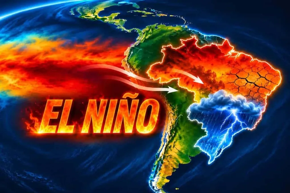
The state of Roraima is facing a severe drought, aggravated by the influence of the El Niño phenomenon and the movement of the Intertropical Convergence Zone (ITCZ). Since July, the amount of rainfall recorded was only 37% of the expected average for this period.

Since September, the state has been in a state of emergency, dealing with water supply problems, the need for rationing, and a decrease in school activities, according to g1 Roraima. Furthermore, the National Water Agency (ANA) has declared water scarcity in the Tacutu and Mau rivers until April 2027.

Because most of its territory is located in the Northern Hemisphere, Roraima experiences the Amazonian summer, which is seasonally drier, occurring between October and March. However, in 2026, the drought presents an intensity higher than the usual pattern.

Two main factors contribute to this situation. In June, the ITCZ shifted towards the North of the planet, resulting in a reduction of humidity transported to Northern South America. Daniel Garcia, a researcher at the Brazilian Geological Survey (SGB), stated that the conjunction of these events justifies the intensity of the drought.

The researcher, who is responsible for the Hydrological Alert System of the Branco River Basin, clarified to g1 that the reduction in rainfall is far below normal due to El Niño and the ITCZ.

SGB records indicate that Roraima should have received 1,512 millimeters of rain in 2026. By November 16, 1,061 millimeters had accumulated, corresponding to 70.2% of the projected volume. Precipitation was concentrated in the first semester, with May being the month with the highest record, totaling 316.71 millimeters.

The drought has also significantly affected water courses. In the center of the capital, the level of the Branco River receded by more than 30 centimeters in a single month, exposing sandbanks. Between August and October, tributaries such as Tacutu, Uraricoera, Mucajaí, and Surumu reached their lowest historical levels for this time of year.

Data from the Drought Alert platform, maintained by the National Center for Monitoring and Alerts of Natural Disasters (Cemaden), reveals that 11 out of 15 municipalities in Roraima were under alert in November, while the rest remained on high alert.

Water shortage directly impacts city supply, manifesting as low pressure from taps, interruptions in supply, and the implementation of rationing. In rural areas and indigenous communities, residents depend on emergency actions to obtain potable water.

Water scarcity also compromises vital services. In an indigenous school, the water found in an artesian well was considered excessively salty and unfit for consumption. A manager of the institution reported that children ingested this water and developed symptoms such as diarrhea, vomiting, and fever, leading the school to reduce in-person classes to only two days a week.

Additionally, the drought harms farmers and livestock breeders and increases the risk of forest fires. According to the National Institute for Space Research (Inpe), Roraima registered 342 heat spots between November 1st and 20th. Since January, the total reached 2,770 foci, representing an 80% increase compared to the 1,539 recorded throughout 2025. In 2026, the state ranks tenth nationally, behind Pará, Maranhão, and Bahia.
Similar stories

NOAA predicts El Niño could be the strongest recorded since 1950
Read more
olhardigital.com.br

NOAA predicts El Niño could be the strongest recorded since 1950

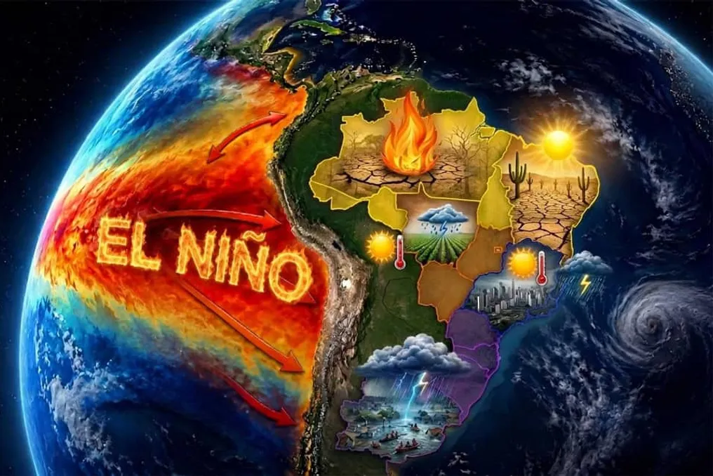
The El Niño phenomenon is intensifying in the Pacific Ocean and has the potential to reach a very strong intensity by March 2027. NOAA calculates there is a 60% probability that this episode will be the most intense since 1950.

According to the American agency, the climate event is expected to continue strengthening until the end of the year. There is a greater than 79% probability that it will remain in the strong or very strong classifications between January and March 2027.

Data released on Thursday (12) indicates that the water temperature in the Equatorial Pacific continues to rise. Specifically in the Niño 3.4 region, a key indicator for monitoring the phenomenon, warming reached 2.5°C above average in October, compared to 2.1°C in September.

However, the progression of El Niño does not depend solely on ocean temperature; the atmosphere must also react to the warming, showing changes in winds, pressure, and rainfall distribution over the Pacific.

In a new report, NOAA confirmed that these atmospheric indicators persist, suggesting that the ocean and atmosphere are working together to keep the phenomenon active.

Michelle L’Heureux, who is responsible for the El Niño monitoring team at the agency, informed g1 that the current El Niño only trails the record set during the same period in 1997. She emphasized that the phenomenon already exhibits one of the highest levels of Pacific warming in recent decades and may still increase its intensity in the coming months.

The 60% projection for a record takes into account the quarters from October to December and November to January.

It is important to note that the expression 'super El Niño' is not an official NOAA classification. The agency uses four categories to measure the event's intensity: weak, moderate, strong, and very strong. An episode is classified as very strong when the agency's index reaches at least 2°C above average over a three-month period, which is the category often informally mentioned as super El Niño.

The phenomenon is part of ENSO (El Niño-Southern Oscillation), a climate cycle that alternates between warm, cold, and neutral phases. El Niño is characterized by a warming of at least 0.5°C of the Equatorial Pacific waters.

Pacific warming alters atmospheric circulation and impacts rainfall and temperature patterns in various regions of the globe. In Brazil, for example, the effects on precipitation vary depending on the geographical area.

Another consequence linked to the phenomenon is an increase in the frequency of heatwaves. Experts warn that long periods of high temperatures are one of the expected impacts, particularly during spring and summer. Furthermore, El Niño contributes to raising the global average temperature, adding to global warming in intense episodes, given that oceans already record temperatures above historical averages.

Strong El Niño is expected to maintain intense rainfall in Rio Grande do Sul until summer
Read more
olhardigital.com.br

Strong El Niño is expected to maintain intense rainfall in Rio Grande do Sul until summer

Rio Grande do Sul recorded a significant number of deaths linked to storms between August and September. Furthermore, there are three other incidents in November that are still under investigation, bringing the total fatalities associated with extreme weather events over four months to 12.

The current situation is directly related to the action of an exceptionally strong El Niño. Projections indicate that during spring and summer, there will be above-average rainfall and high temperatures.

Severe weather episodes began in early July, first in Northern Rio Grande do Sul, and soon spread to other areas. In the Serra region, one incident involved a residence being swept away by the force of the water in the locality of Linha Alcântara, in Bento Gonçalves, towards the Taquari Valley.

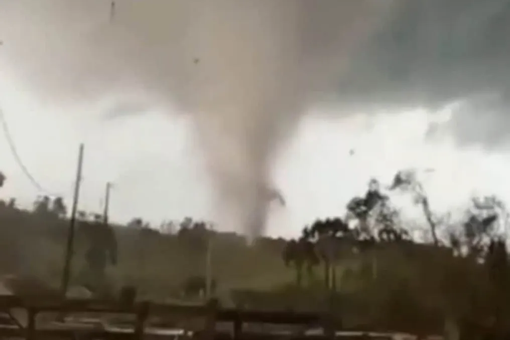
Intense winds also caused considerable damage. In July, a tornado crossed three municipalities in the state's Northwest. In the following month, another tornado hit the Southern Region, registering wind gusts exceeding 300 km/h. Rain accompanied by hail also caused damage in several cities.

In September and October, new storms hit areas that had already been affected, but this time with greater intensity and scope.

According to the Civil Defense of RS, there were three deaths related to bad weather in August and six in September, which was the deadliest month of the period. Among the registered incidents, landslides, vehicles swept away by water, and electric shocks caused by broken cables stand out.

In November, three additional deaths were placed under investigation to verify if there was a direct link to the storms. Thus, Rio Grande do Sul totals 12 deaths in four months due to heavy rains, intense winds, hail, and river levels rising.

Climatologist Francisco Eliseu Aquino points out that atmospheric systems have shown greater intensity in the last decade. According to the specialist, this trend could lead to both an increase in the frequency and severity of the phenomena.

Popular