Iber Wetlands Exploration by Kayak with Local Guides
Read more
Getaway
getaway.co.za

Iber Wetlands Exploration by Kayak with Local Guides

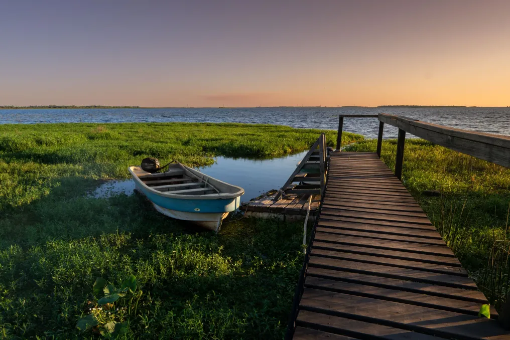
While kayaking in Ibera, it seems that a simple grassy bank can turn into a floating island. In this area of the Corrientes province in Argentina, aquatic plants intertwine and accumulate sediment, forming islands known as embalsados.

There is a good reason to slow down between strokes here. A capybara may be feeding on the bank, and the shape of a log might be a jacaré-cracoon. Ibera is an extensive system of lagoons, swamps, and streams with individual entrances that locals call portalecos.

The place of stay determines the type of trip you will take. Two good starting points are Colonia Carlos Pellegrini, a village on the edge of the Ibera lagoon, and Concepción del Yaguareté Cora, a town that serves as a base for the Carambola Portal on the western side of the wetlands.

If you prefer to stay near the water and have a choice of places to sleep and eat, start in Pellegrini. Kayak tours are conducted from the municipal lake campsite, and local guides, such as Alan Osmar Galeano, organize lagoon trips upon request. Before booking, ask the guide about the route. There is a difference between spending part of the day on open water and slowly paddling along the reed beds, where you should carefully observe the edges.

Along with capybaras and aracaris, look for swamp deer among the aquatic vegetation. From Concepción, a dirt road leads to the Carambola Portal and the Carambolita campsite, where locals conduct wetland tours. Water is part of daily life in this part of Ibera. One of the traditional modes of transport is the canoa a botador, a canoe pushed by a long pole made of local bamboo. You can book this as a separate trip if you are interested in how people traveled through the swamps for a long time.

If you prefer to hold the kayak yourself, the company Salvaje Iberá from Concepción offers longer day trips and overnight kayak tours with stays on islands. Some organized trips in Ibera include a stop for a local lunch, and longer routes may involve an overnight stay in a shelter. When inquiring, clarify what is included in the trip, especially if you are choosing between a day trip and an overnight stay in the wetlands.

Kayak tours are available year-round, although it can be hot in the summer. It is necessary to book the tour in advance with a local guide. Parque Iberá advises contacting operators at least three days in advance, and the National Parks Administration of Argentina lists authorized guides for each entrance. If you are driving, check the access road with a guide after heavy rain. The drive from Mercedes to Pellegrini, covering 120 km, includes about 70 km of gravel road.

Dedicate the morning to the lagoon or spend the night in Carambola. Either way, leave enough time to stop when your guide points out the reeds. You might spend the next few minutes observing something you would have paddled past without noticing.
Similar stories

Municipal Natural Park Cabeceiras do Aricanduva integrates Atlantic Forest area in Cidade Tiradentes, São Paulo
Read more
archdaily.com.br

Municipal Natural Park Cabeceiras do Aricanduva integrates Atlantic Forest area in Cidade Tiradentes, São Paulo

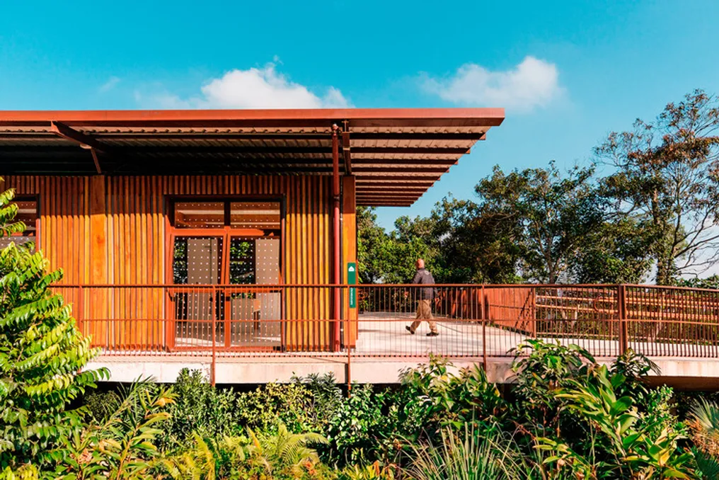
The Nascentes Nucleus of the Municipal Natural Park Cabeceiras do Aricanduva is located in Cidade Tiradentes, in the eastern region of São Paulo. This nucleus covers an area of about 96 thousand square meters, conserving remnants of the Atlantic Forest and the headwaters of the Aricanduva River basin.

The development of this project was carried out by Natureza Urbana, in collaboration with the Division of Implementation, Projects, and Works of the Municipal Secretariat of Green and Environment. The main objective is to bring local residents closer to this important natural heritage, creating a transition zone between the neighborhood and the preservation area.

Exploring Albania through the Vjosa Wild River National Park
Read more
getaway.co.za

Exploring Albania through the Vjosa Wild River National Park

In the city of Permet, you can spend the morning rafting on the Vjosa River and then relax in a warm pool near a stone bridge in the afternoon. If you allocate a couple more days, you can follow the river through the limestone canyon, visit the castle in Tepelenë, and conclude the trip on the coast with binoculars in hand. This river provides a compelling reason to choose a longer route through southern Albania.

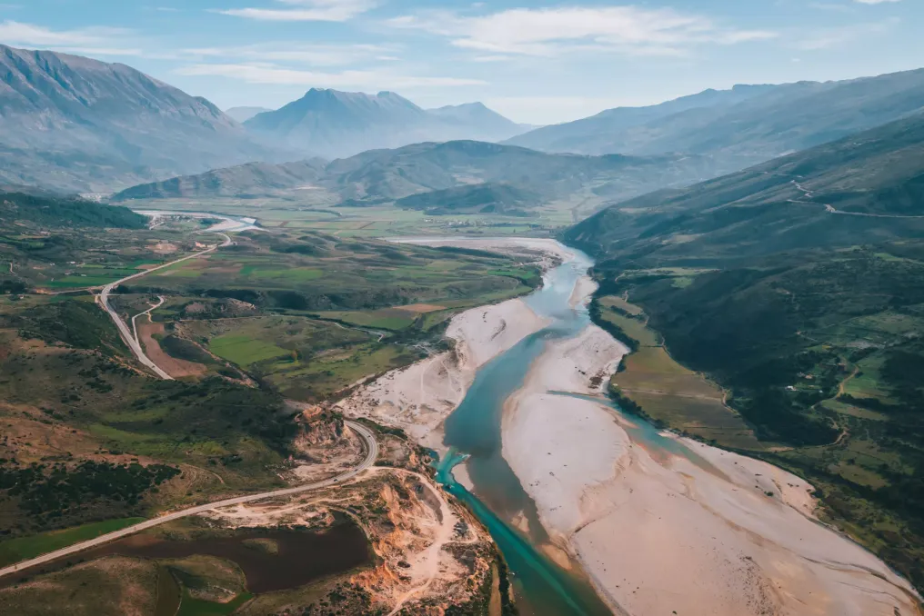
The Vjosa River originates in the Pindus Mountains in Greece, where it is known as the Aoos, and flows into the Adriatic Sea on the western coast of Albania. In March 2023, Albania established the first wild river national park in Europe, which protects the Vjosa on its Albanian section and parts of its tributaries. The river's appeal lies in its constant changes: it rushes through mountain gorges and then widens into a network of channels on the lowlands. Changes in water levels lead to the movement of sediments and alterations in the shape of islands and gravel bars; even the riverbed can look different at various times of the year.

Permet is a convenient starting point. Local guides organize rafting from Kalud back to the city, covering about nine kilometers. Spring snowmelt usually ensures a faster and colder raft trip, while the current becomes calmer in summer. Beginner rafters are advised to check with a guide about the water conditions for the current week before choosing a tour, as the calendar date only provides partial information.

Time must be set aside to visit the Benje thermal springs, where pools are located along the Lengarika River near the entrance to its canyon. The old stone arch of the Kadiu bridge crosses the river near the springs. On the way back to Permet, it is worth looking for 'gliko,' a local product traditionally offered to guests as a sign of hospitality; if you spot a green walnut, try it.

Traveling downstream from Permet, plan a stop in the Këlcitre gorge, where the Vjosa flows between steep limestone slopes. Visiting this location allows one to see the river from above after spending time at water level. Next, in Tepelenë, you can walk along the promenade and view the ruins of the castle associated with Ali Pasha. This is a natural stopping point during the journey before the valley opens up towards the coast.

Closer to Vlorë, replace rafting with birdwatching. The Vjosa Delta and the neighboring Narta Lake are part of the wider Vjosa Valley Biosphere Reserve, which will be recognized by UNESCO in 2025. The coastal wetlands serve as a stopover site for migratory birds in winter, including flamingos. It is also worth visiting Zvrnenc, where a pedestrian bridge leads across the lagoon to a monastery on a small wooded island.

The coast also emphasizes conservation issues. In July 2026, the environmental group EcoAlbania reported that the Bern Convention bureau expressed new concerns to Albanian authorities regarding development in the Vjosa-Narta area, including an airport project near the lagoon. This coastal area demonstrates how decisions made on land affect birds that use water resources.

If possible, dedicate three days to the trip. Dedicate the first day to Permet, the second to the gorge and Tepelenë, and the last to the lagoon. By the time you reach the pedestrian bridge in Zvrnenc, the first morning at the rapids may seem like a distant memory. That is the pleasure of following the Vjosa: in a short time, you can swim, enjoy something sweet, and spend a significant part of the day simply watching the water.

Salto Morato Natural Reserve in Paraná receives new trail called Trilha do Rio Bracinho
Read more
viagemeturismo.abril.com.br

Salto Morato Natural Reserve in Paraná receives new trail called Trilha do Rio Bracinho

The Salto Morato Natural Reserve, located in Guaraqueçaba, on the Paranaense coast, recently received the Trilha do Rio Bracinho, a new route to explore the interior of the preserved area. This path was launched this year.

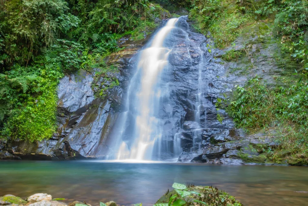
The trail follows the riverbed that gives it its name, crossing areas of preserved Atlantic Forest. The hike culminates at the Rio Bracinho Waterfall, where there is a natural lake allowing visitors to take a refreshing bath before returning.

With a total of approximately 7.4 kilometers (round trip), the main attraction of this new route is the journey immersed in conserved nature, offering several points for observing biodiversity and ending at an almost untouched waterfall.

It is important to note that, unlike the trails already existing in the region, such as those at Figueira, Brincadeiras, and Salto Morato, the Trilha do Rio Bracinho is not self-guided. Classified as moderate difficulty, it strictly requires the accompaniment of two qualified guides.

Permitted groups consist of up to ten people, must be at least 12 years old, and have good physical condition. To take the tour, prior scheduling through a specific link is essential, and the activity will only take place if weather conditions are favorable on the scheduled day. The estimated time to complete the route varies between six and eight hours, with the start scheduled until 9 am.

The Salto Morato Natural Reserve is situated in the municipality of Guaraqueçaba, about 170 km from Curitiba. Its maintenance is carried out by the Boticário Group for Nature Protection. The reserve covers 2,253 protected hectares and has records of 1,320 species of Atlantic Forest flora and fauna.

The operating hours of the reserve are Tuesday to Sunday, including holidays, from 8:30 am to 4 pm. Entrance fees cost R$ 40, with a half-price option available, and they can be purchased online. There is also camping available, which requires prior scheduling via WhatsApp at (41) 98827-4134. Finally, visitors must enter wearing closed shoes, and access with alcoholic beverages is not permitted.

Popular