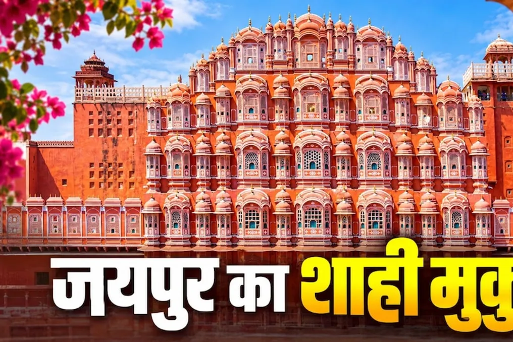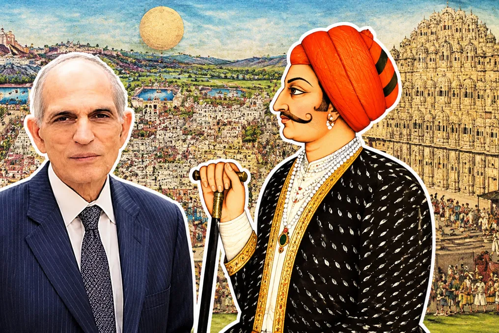
Although Google Maps became available on February 8, 2005, the foundation of an entire city based on a grid plan was conceived by a Rajput king 278 years earlier.
When Sawai Jai Singh II founded Jaipur in 1727, he designed streets intersecting at right angles, divided the city into nine sectors, and established standards for building height and road width. This plan still defines the appearance of the fortified city and arose as a solution to a practical problem.
The Problem of a Hilltop Capital
Before 1727, the Kachwaha rulers governed from Amer, a hilltop capital located approximately nine kilometers northeast of the future site of Jaipur. Droughts and famine made Amer uninhabitable. According to an ICOMOS assessment prepared for UNESCO, growing population, water scarcity, and security concerns demanded attention in a new capital.
Jai Singh, who ruled from 1699 to 1744, chose a plain surrounded by mountains—an unusual decision for a region where cities typically developed organically on hills.
The Scholar-King and the Bengali Planner
Jai Singh possessed knowledge of mathematics, architecture, and astronomy. When planning the city, he consulted architectural books and architects. UNESCO notes that he studied urban planning schemes from around the world. For the design itself, he consulted Vidyadhar Bhattacharya, a scholar from Bengal who served as the king's chief auditor.
Bhattacharya referenced ancient Indian astronomical texts, as well as the works of Ptolemy and Euclid. The city's grid draws inspiration from the Prastara plan in the Vastu Shastra—a traditional Hindu system of architecture. ICOMOS records that this plan reflects a blend of ancient Indian, Mughal, and modern Western ideas, combining the grid layout familiar in the West with zoning based on Hindu concepts.
Nine Sectors, Three Squares, and Unified Markets
The plan divides the city into nine sectors, called chokries, each measuring about 800 by 800 meters. Two sectors were designated for palaces and government buildings, while the remaining seven served the public. Main streets intersect at three public squares, known as chowpars, and covered stalls line the bazaars.
The state itself erected the main markets, shops, residences, and temples along these streets, giving the facades a uniform appearance. The plan also set specific requirements for building height and road width. Underground canals and reservoirs supplied water to the new city, which was a priority for the court that had partially abandoned Amer due to water shortages.
Jai Singh wished for Jaipur to thrive as a commercial center. UNESCO documents that he wrote personal letters to bankers and merchants, inviting them to settle with tax incentives and land provided for building elegant courtyard homes. Construction began in 1727, and completing the main palaces, roads, and squares took about four years. Approximately 400 temples were built in the city, and local traditions of trade, craftsmanship, and guilds continue to exist.
The city's famous color appeared later: in the 19th century, the light yellow lime wash of the bazaars was replaced by the whitewash of red sandstone, giving Jaipur the title of the Pink City.
Jai Singh's scientific interests also left a mark: the Jantar Mantar observatory, inscribed on the UNESCO World Heritage List in 2010, is located in an area designated for World Heritage protection.
Three hundred years later, Jaipur continues to follow the same plan. In July 2019, the UNESCO World Heritage Committee inscribed the City of Jaipur in Rajasthan on the World Heritage List, naming it an outstanding example of local urban planning in South Asia. The Committee noted that the spatial organization of the fortified city still reflects its 18th-century grid plan, and its gates, bazaars, and public squares convey the image of a city that developed between the 18th and early 20th centuries.
The modern city has grown significantly beyond the boundaries established in 1727. ICOMOS warned in its 2019 assessment that population pressure, unauthorized new construction, and wide encroachment on the preserved city wall threaten the historical structure.
The grid itself remains largely intact, and the plan, developed to solve problems of overpopulation, water scarcity, and the capital's hilltop security, still serves as the basis for a functioning city with markets and crafts.
Thus, Jaipur looks like a grid because several needs were addressed on one flat piece of land: the king required water, security, and space for a growing population; the Bengali scholar consulted ancient Indian astronomical texts and the works of Ptolemy and Euclid; and the plain provided them with space for straight lines.
Nearly three centuries later, this combination continues to shape the appearance of the Pink City.