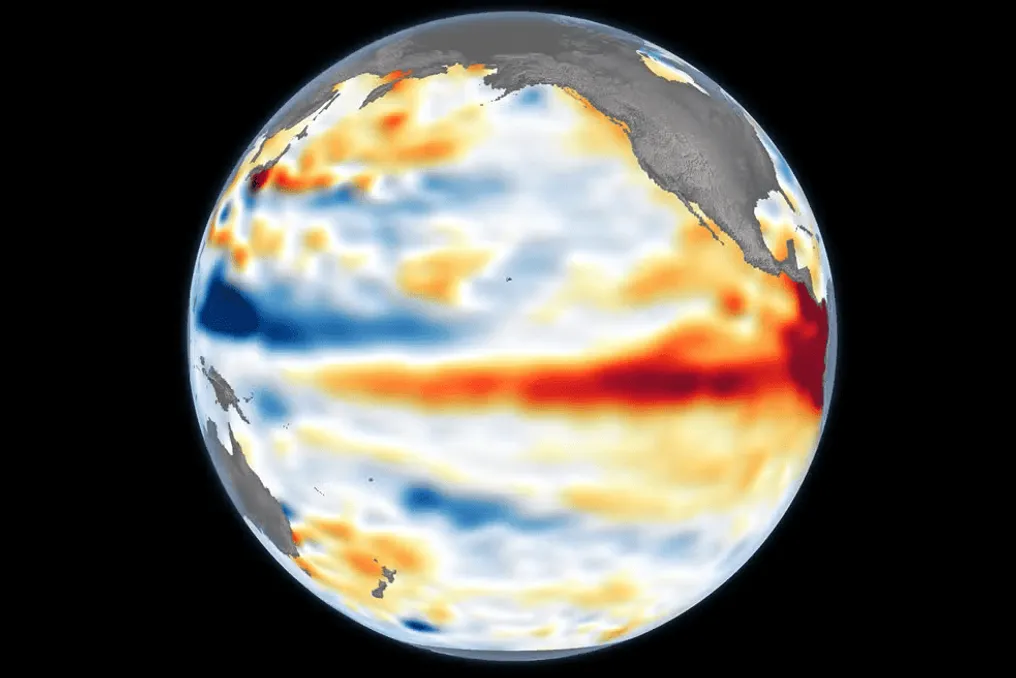
Super El Niño Forecast for 2026: Transforming Climate Projections into Early Response Measures
Read more
CGTN
cgtn.com

Super El Niño Forecast for 2026: Transforming Climate Projections into Early Response Measures

Ahead of COP31 in Antalya, Turkey, concerns are growing regarding global climate risks associated with the projected super El Niño of 2026. Understanding the potential impact of this phenomenon and improving early warning and disaster prevention systems is critically important for enhancing climate resilience. An expert from CGTS invited Zhan Chao, an associate professor at the College of Ecology and Environmental Protection of Beijing Forestry University, to discuss the climatic consequences of super El Niño, the uncertainties in climate forecasting, and ways to transform scientific predictions into proactive disaster prevention.

The 31st session of the Conference of the Parties (COP31) to the UNFCCC will begin on November 9, 2026, in Antalya, Turkey. Meanwhile, abnormal warming continues in the central and eastern equatorial Pacific Ocean.

Recent data from China's National Climate Center indicates that the super El Niño event in the Eastern Pacific officially formed in September 2026 and reached the level of the strongest recorded El Niño by October, with an expected peak in late autumn or early winter.

Since the center of maximum warming is located in the eastern equatorial Pacific, East Pacific El Niño causes more pronounced atmospheric teleconnection effects and usually has a stronger influence on the global climate. Against the backdrop of global warming, warming caused by strong El Niño events tends to significantly raise the average global surface temperature.

According to data from the China Meteorological Administration on global surface temperature, the world's average surface temperature in 2023, 2024, and 2025 exceeded pre-industrial levels (1850-1900) by 1.42, 1.50, and 1.41 degrees Celsius, respectively. Compounded by this super El Niño, studies show a high probability that 2026 will surpass 2024 to become the warmest year in history.

For China, in the East Asian monsoon region, the climatic impact of this powerful signal will affect winter and spring and extend until 2027. The China Meteorological Administration forecasts that temperatures across the country during the upcoming winter will generally be above normal, with slightly more frequent cold waves and sharp temperature fluctuations, demonstrating a 'colder early winter and warmer late winter' pattern.

The total precipitation nationwide is expected to be above average, while northern China may experience frequent intense cold spells and snowfall, and southern China faces a high risk of episodic rain, snow, and frosty weather at low temperatures. In spring and summer of 2027, even though El Niño is expected to weaken rapidly by its end, its lagged impacts on China's climate will remain significant, manifesting as more extreme weather conditions and climatic phenomena, particularly higher temperatures and more intense, widespread summer heatwaves.

It is important to note that El Niño does not generate individual weather events directly; instead, it alters the probability distribution of extreme weather events by exciting atmospheric teleconnection wave patterns, modulating the intensity and position of the subtropical high pressure in the Northwest Pacific, and changing the circulation of the East Asian monsoon.

Due to subsurface ocean temperature anomalies, stochastic atmospheric disturbances (such as western wind bursts), and complex modulation of interdecadal signals under global warming, even super-sized El Niño events can differ in the intensity of tropical atmospheric forcing response and the spatial distribution of their impact.

On the other hand, numerical models have inherent forecasting errors regarding the oceanic forcing signal itself; for example, projections from the North American Multi-Model Ensemble for the peak amplitudes of the 1997 and 2015 super El Niño events showed a systematic overestimation of approximately 0.2 degrees Celsius.

Therefore, scientific climate forecasts are inherently probabilistic forecasts, not deterministic certainties. Furthermore, although El Niño is a powerful forcing signal, it is far from the only driving factor. Climatic anomalies in China are also jointly modulated by numerous boundary conditions and climate regimes, including the Indian Ocean basin regime, the North Atlantic Oscillation, Arctic sea ice, and Eurasian snow cover. Any specific weather event that ultimately materializes is the result of a confluence of multiple factors, meaning that macro-scale climate probabilities cannot be directly equated to the inevitable occurrence of micro-scale individual events.

Statistically warmer or wetter seasonal averages do not preclude the occurrence of localized, episodic extremely cold events or a sudden shift from drought to flood. Ultimately, El Niño shifts the 'odds' for extreme weather, rather than dictating any specific weather event.

Bridging the gap between probabilistic climate forecasts and deterministic disaster prevention actions is both a key agenda item for advancing the Global Goal on Adaptation at COP31 in Antalya and a central priority in implementing China's 15th Five-Year Plan for combating climate change.

To address these forecasting uncertainties, current research focuses on improving coordinated observations in the subsurface equatorial Pacific, in several ocean basins, and in mid-to-high latitudes to enhance model initial conditions, as well as strengthening systematic bias correction for multi-model ensembles and combined dynamic and statistical downscaling to improve prognostic capability and spatial accuracy of regional extremes.

In terms of management and action, the UN is accelerating its 'Early Warning for All' initiative to achieve universal coverage of early warning systems by the end of 2027. Concurrently, China is implementing the provisions of the 15th Five-Year Plan regarding climate risk assessment, early warning, and adaptation, in line with requirements for high-quality meteorological development. By continuing to provide international public goods for early warning through platforms such as Fengyun meteorological satellites, China further strengthens the emergency response communication mechanism led by meteorological early warnings, relying on improved operational coordination across various timeframes to shift disaster management towards pre-disaster preventive measures.
Similar stories

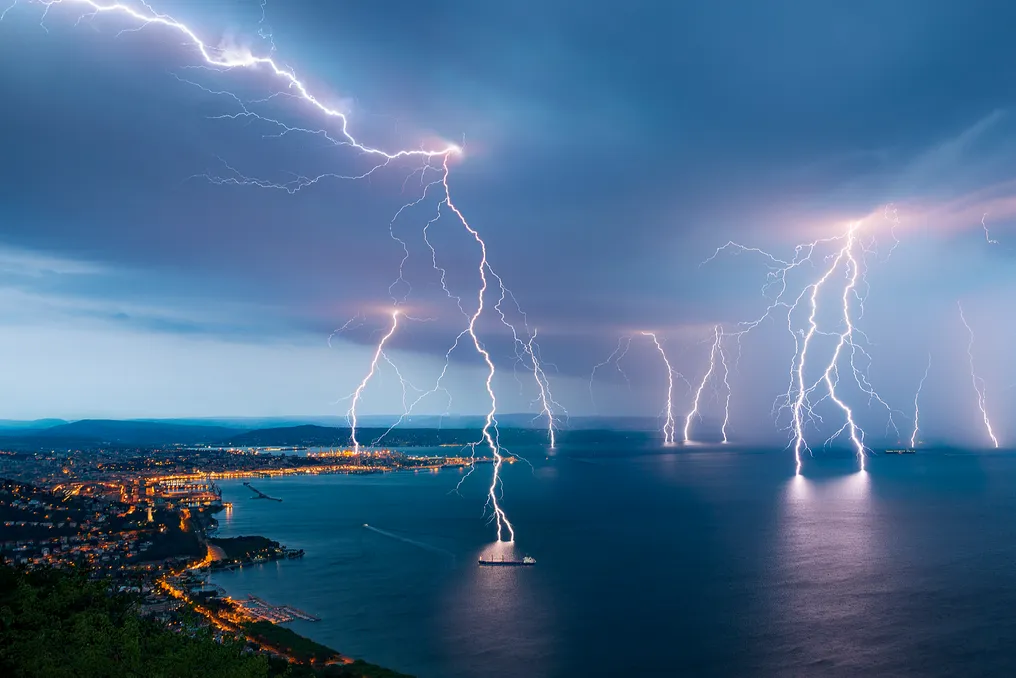
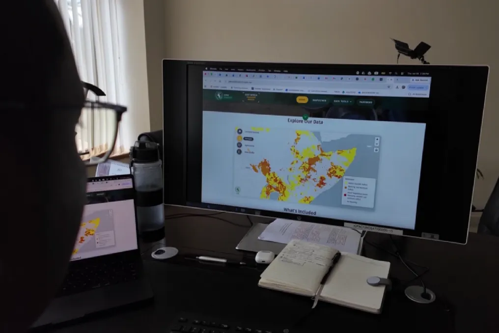
Africa's Readiness for El Niño: Transitioning from Early Warning to Timely Action
Read more
cgtn.com

Africa's Readiness for El Niño: Transitioning from Early Warning to Timely Action

The intensifying El Niño weather phenomenon is dividing Sub-Saharan Africa into zones of extreme meteorological conditions, triggering a dual crisis: East Africa faces severe flooding, while Southern Africa suffers from drought.

Modern climate science is capable of forecasting these ecological upheavals months in advance. However, a panel discussion on Talk Africa revealed that the continent's most serious vulnerabilities are not related to the weather conditions themselves, but rather to bureaucratic, structural, and financial gaps.

Although early warnings are regularly generated, they often fail to translate into timely action. Addressing this operational gap has been recognized as an urgent task to prevent predictable seasonal hazards from escalating into major humanitarian disasters.

The primary operational deficiency lies within the current structure of regional meteorological modeling. National climate services are proficient at predicting general weather trends. Nevertheless, Eunice Koech, a climate modeling specialist at the IGAD Centre for Forecasting and Applications, noted that the lack of comprehensive socio-economic and vulnerability data creates specific challenges.

Koech explained that 'impact-based forecasting is what appears, and we have less information.' Meteorologists know whether flooding or drought is expected, but they lack details on the specific impact of these hazards on agriculture and infrastructure.

El Niño-related weather risks are dynamically forecasted from late September to January. Due to this extended period, it is impossible to provide highly specific, localized advice, leaving vulnerable populations completely unprotected during narrow windows for intervention.

This data deficit is compounded by a deep temporal and bureaucratic mismatch in the allocation of public resources. Reliable seasonal forecasts are available well in advance, up to three months. Unfortunately, the spatial window for proactive measures is constantly missed because public funds are rigidly tied to consequence management.

Koech observes that 'most of the allocated funding is primarily directed towards response and recovery.' Furthermore, administrative procedures are too slow to reallocate funds during the small available periods for action. Consequently, scientific data is widely disseminated but often lacks actionable, contextual recommendations.

Emma Mwangi, a climate scientist from the International Federation of Red Cross and Red Crescent Societies, emphasized that simply alerting communities to above-average rainfall is ineffective if people lack the capacity to respond. Mwangi questioned: 'While we provide early warnings to communities, to the government, do we know what is expected of us?' People may receive a warning, but rarely understand its practical implications or possess the financial means to act on that information.

Maintaining a reactive stance incurs extremely high economic costs. Proactive planning offers a much more sustainable path forward. The African Development Bank (AfDB) warns that these recurring climate events could permanently reduce national GDP by 1–2%, making reactive planning an unaffordable luxury.

Disaster management traditionally occurs post-factum. Breaking with this tradition, Bhekumuzi Dinn Bhebe, founder and director of Africa Change Lab, argues that governments must treat El Niño as a predictable fiscal risk in national budgets. Governments are obligated to immediately implement three fundamental economic stabilizers: scalable social protection networks, preemptive protection for the productive economy, and pre-agreed reserve financing.

Bhebe stresses that 'the choice is not whether to spend money or save money.' He clarifies that 'the choice is whether to pay a smaller bill before the crisis or a much larger one after it.'

Traditional global climate financing faces significant budget cuts. To counter this, Africa must aggressively diversify its internal sustainability financing architecture. Bhebe insists that 'we need to create our own African transformation fund that is truly deeply rooted in solving crises like El Niño.'

Ultimately, mitigating these climate changes requires rethinking the interaction between local communities and science on the ground. Mwangi notes that major structural transformations are necessary, yet people often focus only on one seasonal forecast and ignore vital updates released weekly or bi-weekly. She urges everyone to closely monitor weekly and monthly forecast updates, rather than relying solely on the initial seasonal projection.

The initial forecast establishes a baseline. In contrast, monitoring regular updates allows low-lying residents to evacuate flood zones. This simultaneously helps farmers prevent crop inundation and gives traders time to secure supplies before transport networks are disrupted.

As the panel discussion concluded, recent field studies confirm that information dissemination is no longer the bottleneck for Africa. Historical concepts blamed a lack of data for this. Correcting this misconception, Bhebe clearly summarizes the modern dilemma: 'The tragedy is that we don't know what is coming.' He concludes that 'the crisis is actually moving faster than the information... Africa does not have an early warning gap. We have a gap in early action.'

{language:
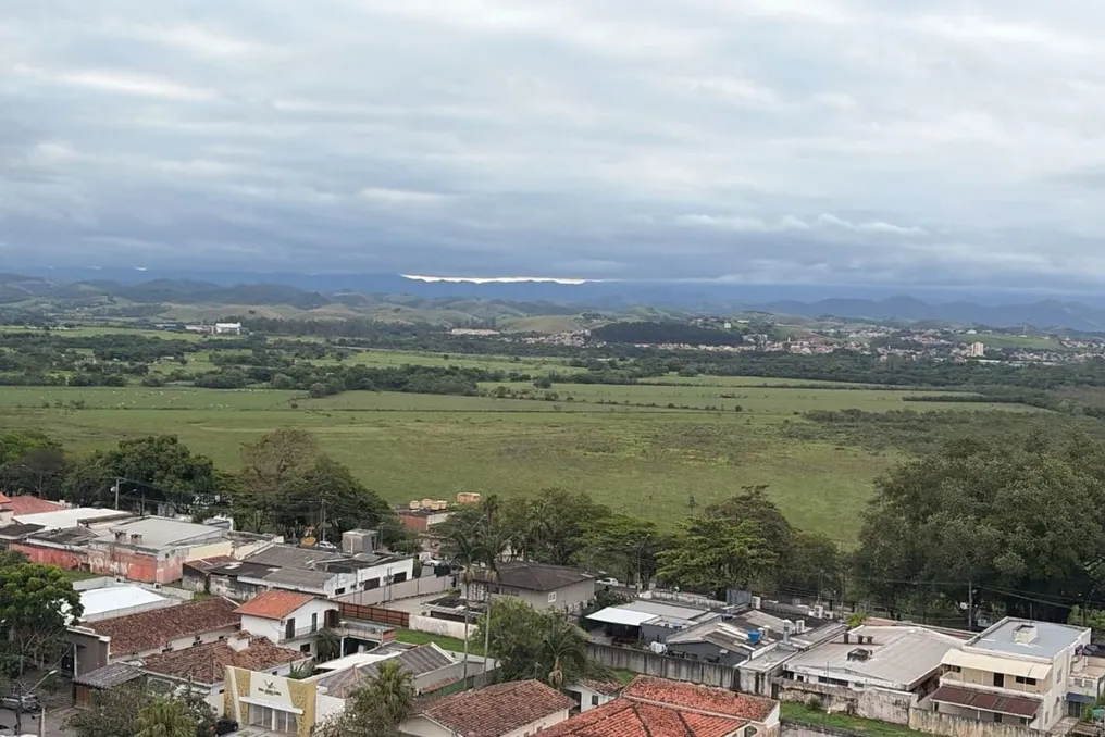
El Niño's influence maintains mild rains and temperatures in Vale do Paraíba; forecast for November
Read more
g1.globo.com

El Niño's influence maintains mild rains and temperatures in Vale do Paraíba; forecast for November

Residents of Vale do Paraíba and surrounding areas should expect to wait longer for the characteristic spring heat. The excess clouds and high frequency of rainfall have kept temperatures moderate in the area, and the projection for November points to a similar scenario, with moments of warming, but without long sequences of hot days.

Meteorologist Josélia Pegorim, from Climatempo, attributes this climatic pattern to changes in wind circulation caused by El Niño, a climate event that affects weather conditions in Brazil. She had anticipated that October would bring excessive cloudiness and precipitation, which would prevent a significant increase in temperatures.

Why is it raining so much and not getting hotter?

As explained by Josélia, the increase in clouds and rain in Vale do Paraíba began to intensify in September, after several cold fronts passed over the coast of São Paulo. Even after these systems passed, the maritime air circulation continues to bring moisture to eastern São Paulo, which facilitates the formation of large amounts of clouds.

The specialist detailed that when a cold front passes, a maritime air circulation enters that injects a lot of humidity into eastern São Paulo state, generating many clouds even after heavy rain stops. In October, besides the cold fronts, other meteorological systems contributed to regional instability. The constant presence of clouds and rain reduces solar incidence and hinders temperature increases.

Josélia emphasized that although a typical October can be hot, the excess clouds and rain, resulting from El Niño, have prevented temperatures from rising too much.

What will the weather be like in November?

The forecast indicates that November will also feature recurring episodes of rain and cloudiness in Vale do Paraíba, which tends to inhibit temperature rises. Although the month is usually hotter than October, the expectation is that periods of heat will be brief. Josélia warned that there will be some heat peaks, but one should not count on prolonged days of sun and heat.

Although the region may record days with higher temperatures, the probability is that these moments will not last long. She mentioned that it would be difficult to have an entire week with heat around 30 degrees in November. The last week of October should also bring climatic changes, as a new cold front is expected to reach São Paulo on November 1st. After the passage of this system, the trend is for more cloudy days and mild temperatures, although in early November temperatures may rise again, keeping the heat period short.

El Niño is expected to continue influencing the climate

According to Josélia Pegorim, the influence of El Niño on the Brazilian climate should persist throughout spring and summer, potentially extending into part of the following autumn. The meteorologist informed that states such as São Paulo, Paraná, and Mato Grosso do Sul are experiencing days of great instability.

She emphasized that the excess cloudiness and rain seen in October constitutes an atypical scenario for the period, but one that aligns with what was predicted for this October. Thus, the expectation for November is a month marked by the alternation between rain, cloudiness, and warmer days, without a lasting predominance of sun and heat.

Scientists develop method to predict El Niño up to one year in advance
Read more
olhardigital.com.br

Scientists develop method to predict El Niño up to one year in advance

Scientists have identified a method capable of determining the reliability of El Niño and La Niña forecasts with a horizon of up to one year. This new discovery has the potential to improve warnings about extreme weather events, granting more time for communities and authorities to prepare against droughts, floods, and other environmental consequences.

The study, published in the scientific journal Science Advances this Friday (23), analyzed a set of over 7,500 historical forecasts generated by climate models from nine countries. The researchers concluded that the conditions observed in the Pacific Ocean at the time a forecast begins significantly affect its accuracy in subsequent months.

The most relevant finding demonstrated that forecasts initiated under La Niña conditions maintained a good level of performance, even when attempting to anticipate the behavior of the climate system for an entire year. In contrast, those forecasts that began under neutral conditions proved considerably less reliable.

El Niño and La Niña represent opposite phases of the phenomenon known as the El Niño-Southern Oscillation (ENSO), a natural climate pattern linked to variations in the sea surface temperatures of the tropical Pacific. These changes impact atmospheric circulation, potentially altering rainfall and temperature patterns in various parts of the globe.

Although these events generally peak around December and can be predicted with certainty about six months in advance, projecting them over longer periods remains a scientific challenge.

The research indicates that monitoring the initial state of the ocean helps distinguish between forecasts with a higher chance of being correct and those that require greater caution. According to Mandy Freund, a co-author of the study and a researcher at the University of Melbourne (Australia), the stable performance of forecasts initiated during La Niña suggests that these circumstances make the tropical Pacific system more predictable over the following year.

The ability to anticipate these phenomena with greater certainty can assist governments, emergency services, and populations in planning preventive actions, organizing resources, and mitigating risks. However, scientists emphasize that there are still steps to complete before this discovery can be directly implemented in daily forecasts, although the study already offers a path to refine alert systems and increase preparation time for seasonal climate changes.

Popular