High Alert Declared in KwaZulu-Natal Due to Severe Storm Threat; Heatwave Expected in Highveld
Read more
IOL
iol.co.za

High Alert Declared in KwaZulu-Natal Due to Severe Storm Threat; Heatwave Expected in Highveld

Disaster management and emergency response personnel in eThekwini have been placed on high alert ahead of possible severe thunderstorms that may begin from midday.

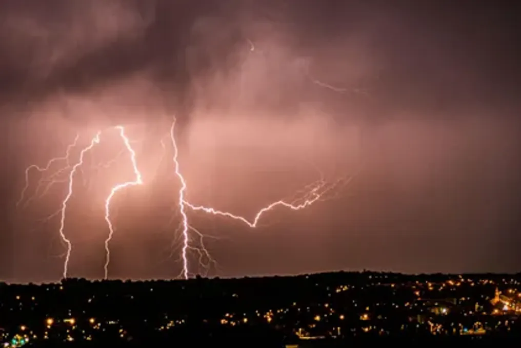
This is due to a Yellow Level 4 warning issued by the South African Weather Service (SAWS). The forecast predicts heavy rainfall, hail, and powerful lightning in most areas of KwaZulu-Natal, with the exception of the northeastern part. The meteorological service also warned of potential flooding in some locations.

Disaster management teams are monitoring areas at risk of inundation, while emergency personnel and equipment are ready for rapid deployment as needed, according to the publication Arrive Alive.

Director of Disaster Management Vincent Ngubane stated: 'Our teams are closely monitoring areas affected by weather incidents, and resources are on standby for rapid response where necessary. We strongly urge residents to take the warning seriously and prioritize their well-being.'

Heatwave in the Highveld

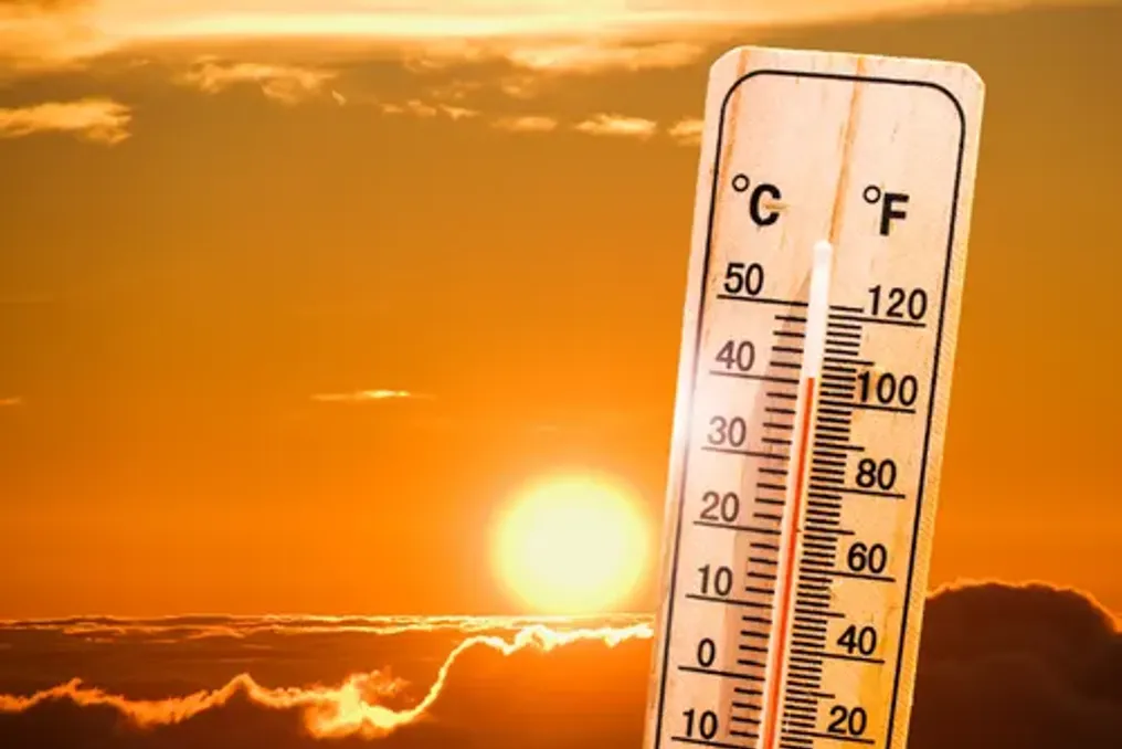
Furthermore, SAWS has issued a Yellow Level 2 warning regarding severe thunderstorms and possible localized flooding in the eastern and northeastern parts of the Eastern Cape. Meanwhile, over the Highveld, including northern Gauteng, certain sections of the Mpumalanga escarpment and central Eastern Cape are expected to experience a heatwave with persistently high temperatures.

In Polokwane and Apington, temperatures are forecast to reach 34°C, while Pretoria and Johannesburg are expected to see 33°C and 32°C, respectively. Western parts of the country, conversely, promise cooler conditions: Cape Town is expected to reach 22°C, and George 19°C.

Expected Maximum Temperatures:

The temperature forecast includes the following values: Johannesburg – 32°C, Pretoria – 33°C, Vereeniging – 32°C, Mbombela – 35°C, Polokwane – 34°C, Mahikeng – 35°C, Freeburg – 32°C, Bloemfontein – 29°C, Kimberley – 32°C, Apington – 34°C, Cape Town – 22°C, George – 19°C, Gqeberha – 21°C, Kgompo City – 22°C, Durban – 27°C, Richards Bay – 31°C, Pietermaritzburg – 26°C.

Extremely high fire danger conditions are expected in the central and eastern regions of the Northern Cape, as well as parts of the Free State and central North West.

Similar stories

Level 4 warning issued in Durban for severe thunderstorms with expected downpours and hail
Read more
iol.co.za

Level 4 warning issued in Durban for severe thunderstorms with expected downpours and hail

Residents of the eThekwini area are strongly advised to take precautions as the South African Weather Service (SAWS) has issued a Level 4 yellow warning for severe thunderstorms. Heavy rainfall, hail, and strong lightning are expected.

This warning is valid from noon until 22:59, and the forecasted weather conditions may lead to flooding in settlements, on roads and bridges, as well as damage to property and infrastructure.

The eThekwini Municipality has stated that its disaster management and emergency services teams are on standby to respond to weather-related incidents across the city.

Call to Residents

Vincent Ngubane, Director of the eThekwini Disaster Management Directorate, urged residents, especially those living in low-lying areas and informal settlements, to take the warning seriously and refrain from unnecessary travel from noon onwards.

Ngubane stated: "Our teams are on standby and ready to respond to any weather-related incidents across the city."

Durban Weather Forecast

The expected thunderstorms could create dangerous conditions for residents and drivers, as heavy downpours pose a risk of flooding in settlements, as well as on roads and bridges. The municipality warned that the weather could also damage infrastructure and property, and worsen road conditions.

Residents are advised to stay indoors and avoid roads while the warning is in effect. Ngubane also cautioned residents against attempting to cross flooded roads or rivers.

He emphasized: "We urge residents, especially those living in low-lying areas and informal settlements, to take this warning seriously, avoid unnecessary travel from noon, and never attempt to cross flooded rivers or roads. Your safety must come first."

Precautions During Severe Thunderstorms

The municipality advised residents to take necessary measures to protect themselves and their property during the expected harsh weather. Recommendations include:

  • Stay Indoors

    : Stay at home and avoid roads if possible.
  • Avoid Floodwaters

    : Never cross rivers, streams, or roads where the water is above ankle level.
  • Move to Higher Ground

    : If trapped during a flood, leave your vehicle and move to higher ground.
  • Protect Valuables

    : Move valuables above the expected flood level.
  • Keep Children Safe

    : Keep children away from rivers and storm drains.
  • Avoid Lightning Risk

    : During a thunderstorm, stay away from open spaces and tall trees.

For weather updates and further information, residents should monitor the municipality's official platforms. Anyone needing emergency assistance should contact the Disaster Management Centre at 031 361 0000.

Severe thunderstorms and winds threaten South African regions; weather warnings issued
Read more
iol.co.za

Severe thunderstorms and winds threaten South African regions; weather warnings issued

Strong thunderstorms, heavy rainfall, and destructive winds are expected in parts of South Africa on Monday. The South African Weather Service has issued a Yellow Level 2 warning for most of KwaZulu-Natal and the northernmost areas of the Eastern Cape.

This warning includes the risk of hail, lightning, and localized flooding, which could lead to damage to infrastructure and settlements. Additionally, a separate Yellow Level 1 warning for strong winds has been issued for western Free State and the far eastern parts of the Northern Cape.

Rain is also expected in several other provinces, with forecasts of scattered showers and thunderstorms along the eastern coast and the border with Lesotho.

Meanwhile, extremely high fire danger conditions are anticipated in several provinces, including North West, Northern Cape, Free State, and Limpopo.

Severe thunderstorms threaten KwaZulu-Natal and the Eastern Cape

The weather service warned that severe thunderstorms could bring heavy rainfall, destructive winds, hail, and lightning to most areas of KwaZulu-Natal, except for the northeastern part, as well as to the northernmost areas of the Eastern Cape. These conditions are capable of causing localized flooding and damaging residential buildings and infrastructure.

Morning fog is forecast over the inland areas of KwaZulu-Natal, followed by partly cloudy and cool or warm conditions, although it will be hot in the northern parts. Scattered rains and thunderstorms are expected.

The eastern half of the Eastern Cape will be partly cloudy in the north, while the rest of the region will be cloudy and cool, with a possibility of cooling in some places, accompanied by scattered rain and thunderstorms. The western half of the province will be partly cloudy and warm in the north, and cloudy and cool in the rest, with isolated rains and precipitation along the coast and adjacent inland areas. Isolated thunderstorms are also expected over the inland and northern territories.

Destructive winds expected in parts of the Free State and Northern Cape

A Yellow Level 1 warning for strong winds has been issued for the western districts of the Free State and the far eastern parts of the Northern Cape. The weather service warned that the wind could cause localized damage to settlements and agricultural production, and falling trees and dust storms may affect transport routes and travel services.

Variable cloudiness, windy, and warm or hot weather with isolated rains and thunderstorms is expected in the Free State. Scattered rains are forecast in the far east and along the border with Lesotho.

In the Northern Cape, the weather will be variable cloudiness, windy, and hot, although it will be warm in the far south. Isolated daytime rains and thunderstorms are expected in the east, and the coastal wind will be fresh and southerly.

Rainfall chances across South Africa

Gauteng is expected to have variable cloudiness and warm or hot weather with isolated daytime rains and thunderstorms in the south. The forecasted ultraviolet radiation index is high.

Mpumalanga is expected to have variable cloudiness and warm conditions with isolated rains and thunderstorms over the eastern and southern Highveld. Lowveld will be hot or very hot.

Limpopo is expected to have good weather and hot or very hot conditions, with no significant precipitation indicated in the forecast.

North West will be variable, windy, and hot, with isolated rains and thunderstorms. The Western Cape is forecast to be cloudy, with isolated rains and precipitation in the south and adjacent eastern inland areas, where temperatures will be cool or warm.

In other areas, the weather will be good and warm, although variable cloudiness is expected along the west coast. SAWS indicated a 30% chance of rain and thunderstorms in the central and southern inland areas, including areas around the western and southern neighbors of Gauteng, while a 60% chance of precipitation is forecast in the eastern inland areas and along sections of the southeastern and southern coasts.

Forecast of extremely high fire danger

Despite the expected rainfall in some parts of the country, extremely high fire danger is forecast in North West, the central and eastern parts of the Northern Cape, most of the Free State and Limpopo, as well as in some parts of western KwaZulu-Natal and western areas of the Northern Cape. Residents in affected areas are strongly advised to exercise caution, especially where hot, dry, and windy conditions could increase the risk of fire spread.
KwaZulu-Natal Province Warned of Drought and Heatwave Risks Due to El Niño
Read more
iol.co.za

KwaZulu-Natal Province Warned of Drought and Heatwave Risks Due to El Niño

Residents of KwaZulu-Natal province are urged to prepare for potential drought conditions, prolonged dry spells, and severe heatwaves, as the seasonal forecast indicates reduced rainfall and increased temperatures.

Tulasize Buthelezi, a member of the executive committee for local government and traditional affairs in KwaZulu-Natal, appealed to residents, farmers, and businesses to take precautionary measures against the potential impact of El Niño.

According to the South African Weather Service (SAWS), El Niño occurs when sea surface temperatures in the central and eastern equatorial Pacific Ocean rise above average, which affects weather patterns and increases the likelihood of drier conditions in parts of southern Africa.

The seasonal forecast predicts that from October to December 2026, KwaZulu-Natal may experience lower rainfall, and these conditions could persist until March 2027. Increased temperatures and a higher risk of frequent and severe heatwaves are also forecasted, raising concerns about water security, public health, and agricultural production.

Water Supply and Food Security Challenges

Potential consequences include water shortages, wildfires in pastures and forests, reduced agricultural output, livestock stress, and increased strain on healthcare facilities. Children, the elderly, and residents of informal settlements are particularly vulnerable to extreme heat.

Prolonged dry conditions during the planting season can also negatively affect crop yields, livestock farming, and food security across the province. Buthelezi strongly recommended that communities closely monitor official meteorological warnings and take preventive measures to minimize potential impacts on their families, livelihoods, and property.

KwaZulu-Natal's Disaster Preparedness

The provincial Disaster Management Centre (PDMC) coordinates preparedness efforts with relevant provincial departments, municipalities, and other stakeholders. These structures include departments responsible for health, agriculture, water and sanitation, environmental matters, and social development.

These measures aim to strengthen provincial response, monitor drought indicators, and reduce risks to the population. Buthelezi stated that 'the PDMC will closely track drought indicators and coordinate readiness planning across the province.'

He added that municipalities are involved in fixing water leaks, strengthening water conservation measures, and developing contingency plans to maintain water supply. Water services have also been called upon to prioritize conservation and ensure appropriate drought response measures. The Department of Water and Sanitation will monitor reservoir levels and support drought response measures, while the Department of Agriculture will continue to advise farmers on sustainable farming methods and drought-resistant crops.

Calls for Farmers and Residents to Take Precautions

Farmers were advised to closely monitor the condition of their livestock and take steps to protect animals from heat stress and water scarcity. Residents are also urged to use water responsibly, avoid actions that could trigger wildfires in pastures and forests, and exercise caution during periods of intense heat.

Buthelezi noted that the provincial government will collaborate with municipalities, technical experts, social partners, and traditional leaders known as Amakhosi to ensure timely community notification and provision of practical advice. He emphasized: 'Disaster preparedness is a collective responsibility, and early action can help mitigate the impact of these conditions on our people and their livelihoods.'

The executive committee member urged residents to follow official meteorological advice, pay attention to warnings, and take necessary steps to protect their families, livestock, and property.

Popular