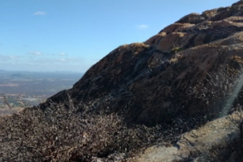
The Brazilian Institute of Geography and Statistics (IBGE) has released a new map illustrating the distribution of various landforms across Brazilian territory. This survey, published on Thursday (29th), officially recognizes mountains as one of the main geographical structures of the country.
The study introduced changes to the nomenclature of one landform category and details which regions have the highest concentration of plateaus, plains, and lower altitude areas. Approximately 70 specialists were gathered to produce this work.
The new map segments the national territory into five main landform categories: mountains, plateaus, lowered surfaces, tablelands, and plains. The most extensive category is Lowered Surfaces, covering 47.9% of the country. Plateaus are second, accounting for 37.6% of the total area.
Plains represent 8.4% of the territory, while tablelands account for 2.3%, and mountains occupy 1.9% of the national area.
The distribution of these characteristics varies significantly between regions. In the North and Northeast, for example, lower areas predominate, corresponding to 64.2% and 61.7% of each respective region, in addition to concentrating large expanses of tablelands.
In the Central-West region, plateaus are predominant, covering 63% of the area, and plains represent 13.5%, making it the largest share of this formation among the five Brazilian regions, a fact that can be explained by the presence of the Pantanal.
The South has the highest proportion of plateaus, reaching 77.8% of its area. The Southeast is distinguished by the continuity of mountains, which occupy 10.7% of its territory.
One of the new aspects of the survey is the formal recognition of mountains as an autonomous category in the national classification, present in 20 out of 27 federative units. Minas Gerais leads in the concentration of mountains mapped by the study, with 37.3% of the total area, followed by Bahia (15.8%), Rio de Janeiro (9%), and São Paulo (8.7%).
Another important modification was the replacement of the term 'Depressions' with 'Lowered Surfaces.' This change aims to prevent ambiguities with other concepts of depression, such as craters or sinkholes, and within the context of IBGE, the new term indicates that these areas are at lower positions compared to the surrounding relief.
The map also highlights disparities between states. Amazonas has 28.3% of the mapped plains, followed by Mato Grosso (14.6%), Mato Grosso do Sul (14.3%), and Pará (10.4%). Regarding Lowered Surfaces, Amazonas and Pará register the largest extensions, at 29.5% and 14.1%, respectively.
Tablelands are present in 14 federative units, covering all states in the Northeast, but were not found in the Central-West or South. Among them, Pará concentrates 43.8% of the total extent of this formation, and Bahia is second with 13.2%. The work was developed by IBGE in collaboration with the Brazilian Geological Survey (SGB), the Union of Brazilian Geomorphology (UGB), and university researchers.
It is expected that this map will assist in environmental and territorial planning, as well as educational activities, serving as a basis for more in-depth studies on Brazilian relief. The classification is still under development, and IBGE invites the scientific community to contribute its knowledge regarding the presented results. The map and methodological note are available for download on the IBGE Portal.