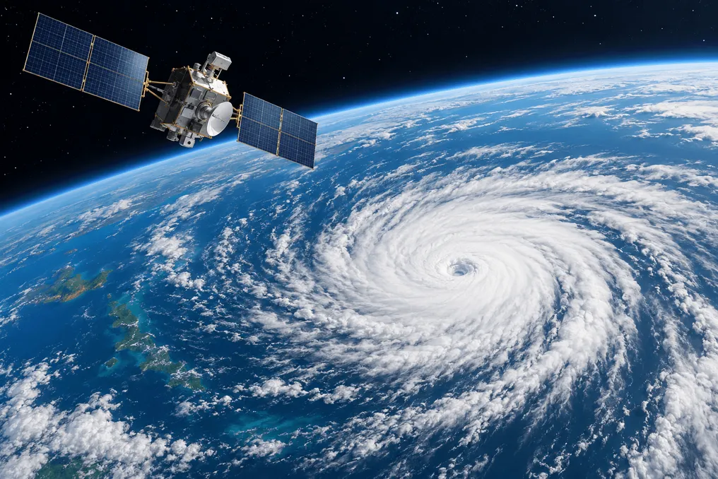
China has introduced the first batch of artificial intelligence models for predicting extreme weather events, developed using meteorological data from the Fenyun satellite. The presentation took place on October 29 at the Fenyun Satellite User Conference 2026, according to CCTV News. The goal of this release is to transition from describing current weather using the Fenyun satellite to forecasting future weather conditions.
The first model is designed to interpret images of typhoon clouds. It combines multi-channel Fenyun cloud imagery with other satellite products to automatically determine the position, structure, intensity, and probable evolution of a typhoon, after which it generates a textual interpretation. The model covers seven categories of typhoon features and utilizes over 20 real-time satellite observation products. Interpretation is performed every 15 minutes and takes only 27 seconds.
As an example, the developers used Typhoon Surigae, which occurred this year. After automatically detecting the storm, the model provided a comprehensive analysis of its intensity, wind radius, and precipitation characteristics to support monitoring and forecasting. Previously, similar work required manual analysis of satellite images by meteorologists; therefore, automating the initial stage provides them with a faster and more consistent starting point.
The second model aims for earlier warning of severe convective phenomena, such as thunderstorms. It applies artificial intelligence to two hours of continuous observations from the Fenyun-4 satellite to predict cloud development. The main idea is to divide cloud evolution into two components: the general movement of large weather systems and the local growth and decay of smaller ones. This approach increases the lead time for warnings to four hours.
The conference also featured an innovation team in satellite meteorology and artificial intelligence technologies from the Xu Jiangmin Meteorological Satellite Innovation Center. This team comprises 49 researchers from 12 institutions and will jointly work on multimodal representation of satellite meteorological data, as well as monitoring and early warning of extreme weather conditions.
These satellite models complement the growing suite of AI tools for weather forecasting in China, which previously focused on medium-range forecasts based on reanalysis data. The new models work directly with satellite observation data, which meteorologists most frequently use when a storm is already forming.