Forecasts indicate that several areas of Brazil will receive rain this Wednesday, the 28th, and Thursday, the 29th. The climatic instability also extends to the Southeast and South regions, presenting a risk of thunderstorms in certain locations.
In the MATOPIBA region, which includes parts of the states of Maranhão, Tocantins, Piauí, and Bahia, rain is predicted. In contrast, the heat remains intense in the far North and parts of the Northeast, with temperatures close to 40 °C.
Precipitation in the North Region is mainly concentrated in Acre, Amazonas, Rondônia, Pará, and Tocantins. The Center-West is also expected to register rain throughout almost its entire extent on Wednesday, with greater intensity expected for Mato Grosso, Mato Grosso do Sul, and Goiás the following day.
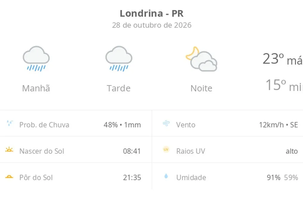
In the Southeast, instability strengthens in areas of São Paulo and Minas Gerais, with the possibility of rain also in Rio de Janeiro and Espírito Santo. For Thursday, rains resume advancing through the South, especially in Paraná. Furthermore, the Baian Recôncavo is under monitoring due to the expectation of heavy rainfall.
This change in climate pattern is attributed to the displacement of a high-pressure area towards the Atlantic Ocean. This movement allows warm and humid air to advance over the south-central part of the country, which favors the formation of instability zones.
Among the most notable points of the forecast, despite the rain in part of the national territory, the heat will remain present in the North and Northeast regions. Boa Vista (RR) may reach a maximum of 38 °C on both days, while in Teresina (PI), thermometers may reach 39 °C, even with rain forecast in some areas of the state.
In the Center-West, temperatures tend to be milder. In Cuiabá (MT), the maximum will drop from 34 °C on Wednesday to 30 °C on Thursday. In Brasília (DF), the projected highs are 27 °C and 28 °C, respectively.
In the São Paulo capital, the maximum will not exceed 20 °C on Wednesday and will drop to only 18 °C on Thursday. In Rio de Janeiro, temperatures are expected to reach 27 °C and 26 °C, respectively.
Cold will also be a relevant factor in the South. On Thursday, Curitiba (PR) will have temperatures ranging between 12 °C and 15 °C, and in Florianópolis (SC), the forecast points to a variation between 16 °C and 20 °C.
Yellow warnings for potential storms cover areas in several regions. In the Center-West, the alert is valid for the entire region during the two days. On Thursday, it extends to Paraná, Santa Catarina, and northern Rio Grande do Sul. In the Baian Recôncavo, the specific warning refers to the risk of significant rainfall accumulation.
Until the end of Thursday, the possibility of rain remains in the North, Center-West, Southeast, MATOPIBA, and South regions. However, in parts of the North and Northeast, dry weather and high temperatures are expected to persist.