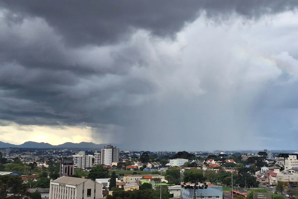
Feira de Santana and cities in Bahia receive storm alert with hail risk
Read more
Grupo Globo
g1.globo.com

Feira de Santana and cities in Bahia receive storm alert with hail risk

The city of Feira de Santana and several other locations in the state of Bahia have been included in a storm alert issued by the National Institute of Meteorology (Inmet). This warning was classified as potential danger and remains valid until 11:59 PM on Tuesday, the 27th.

Meteorological projections indicate the possibility of precipitation of up to 50 millimeters daily, accompanied by winds ranging between 40 and 60 km/h, in addition to the chance of hail occurrence.

According to Inmet, a rainfall rate between 20 and 30 millimeters per hour is expected. The institute emphasizes that the risk of electricity supply interruption, damage to agricultural crops, falling tree branches, and flooding is considered low.

During the validity of this alert, Inmet advises the population to take specific precautions. It is advised not to shelter under trees when there are wind gusts, due to the danger of falls and electrical discharges. It is also recommended not to leave vehicles parked near transmission towers or billboards, and to avoid using electronic equipment connected to the electrical grid.

In emergency situations, citizens can contact Civil Defense through number 199 or the Fire Department at phone number 193.

The alert covers an extensive list of municipalities in Bahia, including Alagoinhas, Amargosa, Amélia Rodrigues, Anguera, Antônio Cardoso, Aramari, Candeal, Castro Alves, Conceição da Feira, Conceição do Almeida, Conceição do Coité, Conceição do Jacuípe, Coração de Maria, Cravolândia, Cruz das Almas, Dom Macedo Costa, Feira de Santana, Iaçu, Ichu, Ipecaetá, Ipirá, Irará, Itaberaba, Jiquiriça, Laje, Mutuípe, Rafael Jambeiro, Retirolândia, Riachão do Jacuípe, Santa Bárbara, Santa Inês, Santa Teresinha, Santanópolis, Santo Antônio de Jesus, Santo Estevão, São Domingos, São Felipe, São Gonçalo dos Campos, São Miguel das Matas, Serra Preta, Serrinha, Tanquinho, Valença, and Varzedo.
Similar stories

National Institute of Meteorology issues rain and wind alerts for the coast of São Paulo on election weekend
Read more
g1.globo.com

National Institute of Meteorology issues rain and wind alerts for the coast of São Paulo on election weekend

The National Institute of Meteorology (Inmet) issued an orange alert regarding storm risks for the Baixada Santista, located on the coast of São Paulo, valid for this Saturday (24th). For Sunday (25th), the date of the 2026 Elections, the alert level will be reduced to yellow, but the forecast still points to continuous rainfall throughout the day.

The climate projection for Saturday indicates that the morning will have sun interspersed with clouds, while in the afternoon there is a probability of rain showers and the sky should become cloudier towards evening. According to Climatempo, expected temperatures range between 26°C and 21°C.

The orange warning implies the possibility of precipitation between 50mm and 100mm daily, in addition to winds that may exceed 60 km/h. Inmet also warned of potential power outages, falling trees, and the formation of flooded areas.

On Election Sunday, Inmet's yellow alert signals a potential storm danger, with estimated rainfall up to 50mm and winds ranging between 40 and 60 km/h. Climatempo predicts that the most intense rains will occur throughout the day, with a 99% probability of precipitation, and temperatures between 26°C and 19°C.

Safety guidelines

In situations of wind gusts, it is recommended to avoid shelters under trees due to the slight risk of falling and electrical discharges. It is advised not to park vehicles near transmission towers or advertising signs, and the use of electronic equipment connected to the electrical grid is also discouraged.

If incidents occur, citizens should contact Civil Defense at phone number 199 or the Fire Department at 193.

Understanding Inmet's alert classification

The yellow alert means a meteorological condition that can be dangerous, requiring caution when carrying out activities susceptible to climatic risks. The orange alert represents a dangerous situation, advising the population to remain attentive and informed about inevitable risks, following the directives of the authorities.

Finally, the red alert indicates great danger, characterized by the forecast of exceptionally intense meteorological phenomena, with a high probability of causing damage and accidents, demanding emergency preparation and obedience to the instructions of the authorities.

Popular