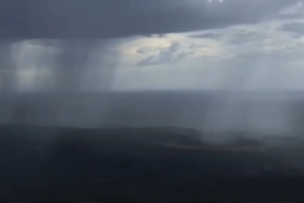
Following the rains recorded in several areas of Piauí on Monday (26), the Secretariat of Environment and Water Resources (Semarh) predicts that precipitation will continue until Thursday (29), concentrating mainly in the Southeast and Southwest regions of the state.
The municipalities that reported the highest rainfall volumes include Cristino Castro, with 95.6 millimeters; Simplício Mendes, with 35.4 mm; São Francisco de Assis do Piauí, with 26.9 mm; and São João do Piauí, with 16.8 mm. In São Raimundo Nonato, a local pluviometer registered 13 mm.
Semarh informs that light to moderate intensity rains are expected in the coming days, with potential for stronger episodes. Additionally, there is a forecast for isolated thunderstorms accompanied by electrical discharges, intense downpours in short intervals, and wind gusts, requiring the population to be aware of climatic changes.
Climatologist Pedro Aderaldo attributes the increase in atmospheric instability to the advance of a cold front towards Bahia. This climatic event facilitates the creation of a moisture corridor over the interior of the Northeast, aiding in the transport of humidity towards Piauí.
The specialist explains that the combination of humidity with daytime heating stimulates the formation of heavy clouds and causes rain showers. He points out that this condition tends to persist in the coming days, although the distribution of rainfall is irregular.
Even with the rain forecast, temperatures are expected to remain high, especially in the North and North-Central regions of the state, where low relative humidity may also occur during the afternoons. Semarh emphasizes that the scenario points to an alternation between rainy periods, strong heating, and dry weather, indicating that the arrival of rain does not end the period of intense heat in Piauí.