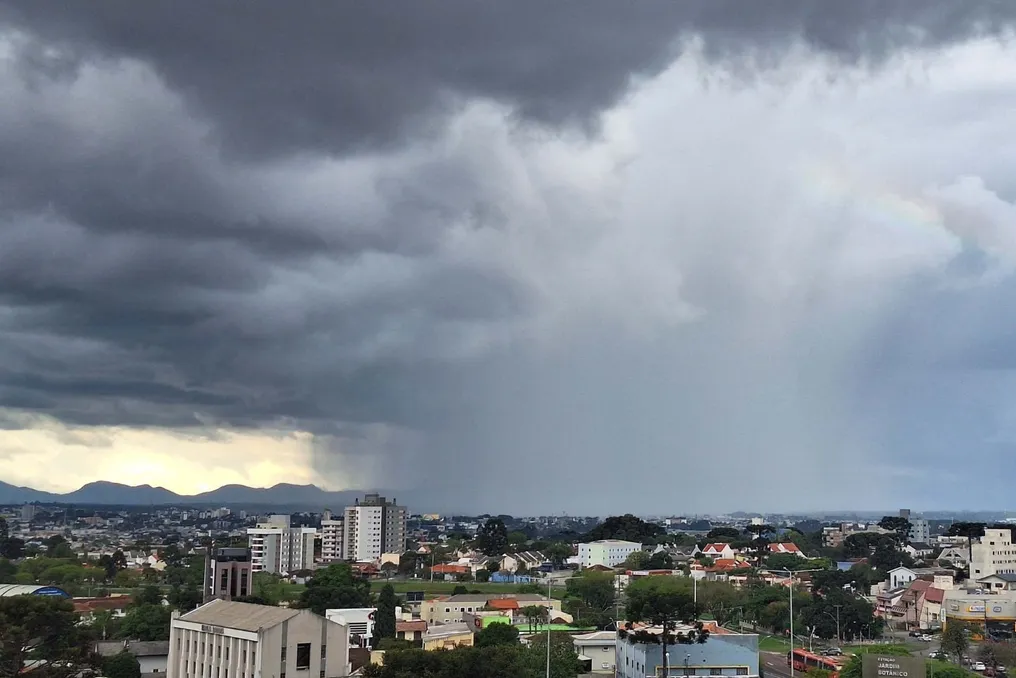
The state of Paraná is under three levels of storm alert for the election weekend, indicating a risk of intense rainfall, hail, and winds that may exceed 100 km/h. The warnings issued by the National Institute of Meteorology (Inmet) take effect starting Saturday (24), when the weather phenomena are expected to intensify in various locations across the state.
Cities under alert
The most severe alert level is red, characterized as great danger. This alert forecasts precipitation exceeding 60 millimeters per hour or an accumulated total above 100 millimeters in a single day, accompanied by wind gusts exceeding 100 km/h and the possibility of hail. According to Inmet, such conditions entail serious risks, such as structural damage to buildings, power supply failures, tree toppling, flooding, and road problems.
In addition to the red alert, the state has orange warnings, classified as danger, and yellow, referring to potential danger, each with specificities regarding rainfall intensity and wind speed.
The Environmental Technology and Monitoring System of Paraná (Simepar) indicates that the intensification of low-pressure areas, combined with the formation of a cold front, favors the occurrence of thunderstorms laden with lightning, vigorous winds, and hail.
Details of the three Inmet alerts
- Red — great danger: Starts at 6 am on Saturday (24). Forecast includes rain above 60 mm/h or 100 mm/day, winds above 100 km/h, and hail fall. There is a high risk of flooding, damage to constructions, tree falling, and power interruption.
- Orange — danger: Valid from 0 am to 11:59 pm on Saturday (24). Rain between 30 and 60 mm/h or 50 to 100 mm/day is expected, with winds ranging between 60 and 100 km/h, with a chance of hail.
- Yellow — potential danger: Begins at 12:01 am on Saturday (24). Forecasts rain between 20 and 30 mm/h or up to 50 mm/day, winds between 40 and 60 km/h, and possibility of hail.
Saturday (24) will have the highest risk of storms
The meteorological forecast indicates that Saturday will be the day with the most severe conditions of the weekend. The combination of a low-pressure area located over Paraguay, the transport of heat and humidity, and the advance of a cold front may result in voluminous rains across much of Paraná. Localized volumes could reach 150 millimeters, increasing the danger of floods and inundations.
The highest temperatures are expected in the Northwest region, where Querência do Norte may reach 33°C, while Porto Rico, Colorado, and Loanda have projected highs of 32°C. In Curitiba, rain is expected throughout Saturday, with greater intensity predicted for the afternoon. Temperatures should range between 17°C and 20°C, and the accumulated volume may reach 70 millimeters.
On Sunday (25), instabilities are expected to shift towards São Paulo, but there is still a forecast of precipitation in Paraná. According to Simepar, the greatest impacts of the storms will tend to concentrate in the northern half of the state. The eastern band, which includes Curitiba and the Ribeira Valley, also requires attention due to the possibility of rain.
Among the municipalities with the highest forecasted accumulations, Arapoti stands out with 79 millimeters, Jaguariaíva with 74 millimeters, and Jacarezinho with 69 millimeters. With the arrival of colder air masses, temperatures will begin to decrease. Palmas may record a minimum of 10°C, while Colombo and Tijucas do Sul are expected to have lows of 11°C. In Curitiba, the forecast points to temperatures between 11°C and 19°C, with an accumulation of 23 millimeters. There is a probability of rain and thunder in the early morning, followed by rain during the morning and afternoon, with a tendency for cloudy skies with no rain forecast at night.
Cities under alert
The detailed list of municipalities under red, orange, and yellow alerts follows in the original text.