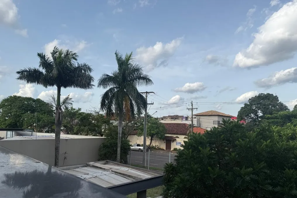
Precipitation is expected in Mato Grosso do Sul throughout the weekend. According to the forecast by Climatempo, weather instability will increase across the state starting this Saturday (the 24th).
In areas such as Coxim and Aquidauana, the weather should remain stable, with a maximum temperature of 38°C. However, intense and localized rain is predicted for the southernmost region.
Heavy Rain and Wind Gusts
Areas near the borders with Paraguay and Paraná are most susceptible to heavy rainfall, thunderstorms, and high water accumulation, creating a risk of localized flooding. In Munduruvu and Eldorado, precipitation volume may reach 40 millimeters. Other cities in the region are also expected to record rainfall.
Wind gusts may reach speeds of 90 km/h. On Sunday, the risk of thunderstorms persists across the entire state, with particular attention needed for the southeastern region. The forecast indicates accumulations of up to 60 millimeters in Bataguassu and Bataporã.
Similar precipitation volumes are expected in Rio Brilhante, Nova Alvorada do Sul, and Douradina in the central-southern region. Rain should affect almost the entire state, with the lowest amounts forecasted in Corumbá and the highest in Ponta Porã, Dourados, and Campo Grande.
Temperatures Will Drop on Sunday
Sunday will bring milder temperatures to Mato Grosso do Sul. In Campo Grande, the maximum temperature is predicted to drop from 33°C on Saturday to 27°C on Sunday.
For the state capital, Climatempo and the National Institute of Meteorology (Inmet) predict precipitation accumulation of between 20 and 30 millimeters.