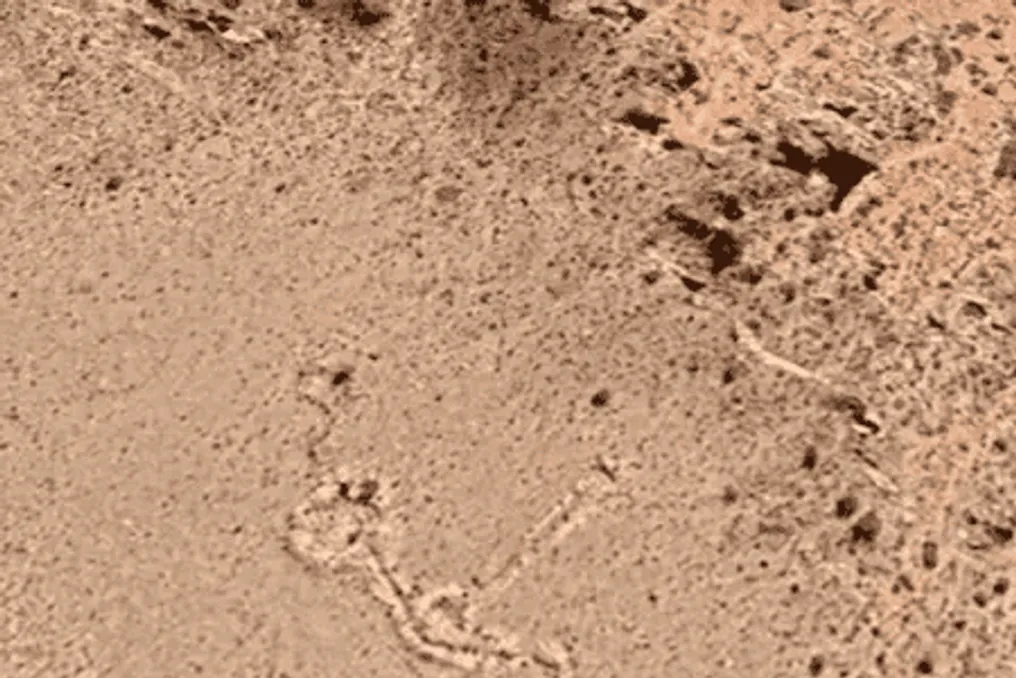
A stone structure featuring circular shapes, corridors, and rectangular sections was discovered in Google Earth images, attracting significant interest from archaeologists in the Argentine Andes. This find is located in the Tigre mountain range, in the province of Mendoza, and potentially represents an ancient geoglyph, although its age and purpose remain unknown.
The discovery has drawn the attention of researchers due to its unusual characteristics and remote location, situated over three thousand meters above sea level. One hypothesis under consideration suggests that this site may have been used for ceremonies during the Inca period, though specialists do not rule out other possible origins or functions.
The research is part of the ArqueoAndes project, a collaboration between researchers from Argentina and Spain focused on studying historical landscape changes in the high Andes. From above, the arrangement of stones forms a figure that can be interpreted as a geoglyph—a large-scale drawing created directly on the terrain by digging or arranging materials such as stones.
Comparisons are inevitably made with the well-known Nazca Lines in Peru. Nevertheless, researchers emphasize substantial differences between these structures. While the Nazca drawings were created primarily by removing stones and exposing soil, the complex found in Mendoza consists of constructions formed by laying rocks and creating corridors.
Therefore, visual similarity observed in satellite imagery does not imply that both structures share the same origin, construction technique, or purpose. Classifying the Argentine find as a geoglyph still requires further study. Archaeologists also do not know whether the formation was built over a single period or underwent changes over time.
Possible connection to the Inca period
One of the main theories is that the structure might have been used during the Inca period, around the 15th–16th centuries. This possibility is considered because the Incas held religious significance for mountains, trails, and other landscape elements. In this context, the site could have served some ceremonial or symbolic function, although there is currently insufficient evidence to confirm this interpretation.
The location also raises questions. The area is difficult to access and lacks nearby water sources, making permanent habitation unlikely. During the initial inspection, researchers did not find ceramic fragments or food remains on the surface that would indicate continuous community presence at this site.
Researchers therefore believe it is likely that the structure served as a seasonal camp or performed various functions throughout its history. They also do not exclude the possibility that the construction predates or follows the Inca period. However, the absence of archaeological materials on the surface is not enough to determine the age or use of this area; these questions will depend on more detailed analysis.
A new expedition is planned for December 2026, involving Argentine and Spanish researchers. Gobby will accompany the team as a guide to the site. Fieldwork aims to map the structure using drones and high-precision GPS equipment, conduct excavations, and collect sediments for analysis. The data obtained will help establish the age of the construction and reconstruct the regional climate conditions during its possible use.
The research is integrated into the ArqueoAndes project, which unites specialists from the Argentine Institute of Nivology, Glaciology, and Environmental Sciences, affiliated with Conicet, the National University of Coyba, and the University of Jaén in Spain. In addition to determining the structure's origin, researchers intend to understand how ancient populations utilized and assigned meaning to the mountainous landscape. The work must also consider the link between heritage and the indigenous communities of the Uspallata region. The archaeological investigation must follow procedures that preserve the site and prevent damage to the discovered structures.
Until the expedition is complete and the results are analyzed, the age, function, and possible connection of the complex to the Incas will remain open questions. For now, Google Earth has become the starting point for a study that may reveal new details about human presence in the Andes.