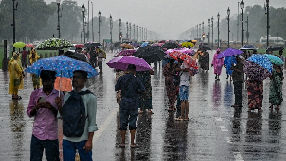
Weather service forecasts rain in several states, and the weather has changed in Delhi-NCR
Read more
Aaj Tak
www.aajtak.in

Weather service forecasts rain in several states, and the weather has changed in Delhi-NCR

In Delhi-NCR, the morning of Saturday saw a change in weather conditions: light gusts of cool wind and cloudiness brought some relief to residents who had previously suffered from heat and stuffiness. However, this change is not limited to Delhi-NCR.

According to data from the Meteorological Department (IMD), on Saturday, October 10, rain, thunderstorms, lightning, and strong winds are possible in many regions of the country. Weather phenomena may persist from North India to East, South, and Northeast India.

In Delhi, the sky was covered with clouds on Saturday morning, and the wind continued to blow coolly. The meteorological department predicts localized precipitation and short-term thunderstorms in the capital. The weather may also change in Noida, Ghaziabad, Gurugram, and Faridabad, where cloud movement and periodic rain are expected during the day.

There is also a possibility of rain, thunderstorms, and lightning, as well as strong winds, in parts of Haryana, Chandigarh, and Punjab. Weather conditions may remain like this until Sunday, so it is advised to check the latest information before going out.

In the eastern and western parts of Uttar Pradesh, rain or short-term precipitation may occur on Saturday. According to the weather service forecast, rain is possible in eastern Uttar Pradesh until October 10, and in western Uttar Pradesh until October 11. No separate warning has been issued for either region.

In Uttarakhand, small or moderate rain with thunderstorms is expected in some places on Saturday, and snowfall is possible in high-altitude areas. Rain may fall in different parts of the state between October 10 and 14. It is predicted that in some places, wind speed will reach 30–40 kilometers per hour, with gusts reaching 50 kilometers per hour.

Weather changes with rain and thunderstorms are also expected in Himachal Pradesh; the probability of precipitation in several parts of the state falls on October 13 and 14. Meanwhile, rain is possible in Jammu and Kashmir and Ladakh on Saturday. Residents traveling to mountainous areas are advised to follow the recommendations of the meteorological department.

Weather phenomena may continue in the states of Eastern India. In Bihar, cloudy skies and short-term rain or thunderstorms are expected in some places on Saturday. Strong winds of 40–50 kilometers per hour with thunderstorms are possible in some areas of the state. Rain is also forecasted in Jharkhand and Odisha on Saturday, which may continue until Monday, leading to local weather changes.

Weather conditions are also expected to change in Rajasthan on Saturday. Small or moderate rain is possible in the northwestern districts of the state. A warning for thunderstorms, lightning, and strong winds has been issued for western Rajasthan, but not for eastern Rajasthan.

More significant rainfall is expected in some states of South India. The meteorological department predicts heavy rains in some areas of Kerala, Tamil Nadu, Karnataka, and Puducherry. Heavy precipitation is also possible in some places in Karaikal, accompanied by thunderstorms and strong winds.

Rain is also expected in the northeastern states of India. On Saturday, precipitation is possible in isolated places in Arunachal Pradesh, Assam, and Meghalaya. In Assam and Meghalaya, rain may continue in various areas until October 14. Additionally, rain is forecasted in some places in Nagaland, Manipur, Mizoram, and Tripura on October 14.
Similar stories

Meteorologists predict storms and heavy rains in Delhi-NCR, Uttar Pradesh, and other states
Read more
www.aajtak.in

Meteorologists predict storms and heavy rains in Delhi-NCR, Uttar Pradesh, and other states

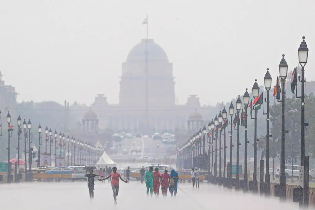
With the start of October, the weather in many regions of the country has begun to change. On Tuesday, thunderstorms, strong winds, and rain are possible in various parts of the country. These changes occur against the backdrop of the continued withdrawal of the southwest monsoon from the country.

According to IMD data, the monsoon withdrawal line moved towards the western coast, passing through Bihar, Jharkhand, Chhattisgarh, and some areas of Maharashtra on October 5.

Despite dry weather in recent days, changes are possible in Delhi-NCR on Tuesday. Rain with thunderstorms, lightning, and strong winds is forecasted in Haryana, Chandigarh, Delhi, and Punjab. Wind speeds during this period may reach 40–50 kilometers per hour.

Weather conditions may also change in the Western Himalayas. Thunderstorms and strong winds are predicted in Himachal Pradesh, Jammu and Kashmir, Ladakh, and Uttarakhand. Additionally, rain with thunderstorms and lightning flashes is expected in some parts of Uttar Pradesh. There is also a probability of thunderstorms and lightning strikes in some parts of Madhya Pradesh, Chhattisgarh, Vidarbha, Konkan, Goa, and Maharashtra.

Various atmospheric systems contribute to rainfall and thunderstorms in many parts of the country. Cyclonic movement of upper air layers persists over Bihar and adjacent territories. Furthermore, a trough has formed from West Bengal to central Maharashtra. Due to these weather systems, the activity of storms, rains, and thunderstorms may continue in Eastern and Central India. Strong winds with thunderstorms are also expected in some areas of Andhra Pradesh, Bihar, Jharkhand, Odisha, West Bengal, and Sikkim on Tuesday.

The Meteorological Department (IMD) has predicted heavy rains in some parts of South India, while stormy weather with lightning and strong winds is expected in several northern Indian states. The highest probability of precipitation in South India is observed in Kerala, South Interior Karnataka, Tamil Nadu, Puducherry, and Karaikal. Heavy rains are possible in these areas. Rain is forecasted in many places in Kerala and Maharashtra.

According to IMD data, the impact of rains will be most noticeable in South India on Tuesday. Heavy precipitation is possible in Kerala, South Interior Karnataka, Tamil Nadu, Puducherry, and Karaikal. Rain is expected in many towns and villages in Kerala and Maharashtra.

Weather in Delhi: Climate Change Expected After Cold Spell
Read more
www.aajtak.in

Weather in Delhi: Climate Change Expected After Cold Spell

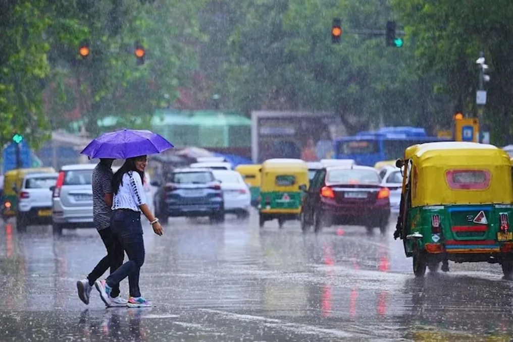
The climate in the Delhi-NCR region has been undergoing sudden changes over the last two to three days. Due to rain and cool winds, temperatures have dropped, making the weather pleasant. However, this altered climate is not long-term.

According to the current situation, the period of rain and cold in Delhi-NCR is likely to last only until tomorrow. After that, temperatures may rise again, meaning that the current coolness cannot be considered the start of a stable winter. The weather may change again in the coming days.

The cause of this sharp weather change is attributed to the influence of a deep depression over the Bay of Bengal. This system shifted towards Uttar Pradesh. Its impact caused weather changes in Delhi-NCR and other plains areas over the last two to three days. Additionally, rainfall and snowfall in the mountainous regions, where a Western Disturbance was active, influenced the weather in the plains areas.

Although there is no new Western Disturbance in the near future, the weather in the mountainous regions may gradually change, which will subsequently affect the climate of the plains areas. Regarding the monsoon situation, monsoon processes are still active in some parts of the country, so it continues to rain in different places. Nevertheless, the monsoon has moved out of Rajasthan and Delhi-NCR.

At the same time, the process of monsoon withdrawal is continuing in several other states of the country, indicating that the monsoon has not left the entire country simultaneously. The situation varies across different areas, and rain continues in some places. For residents of Delhi-NCR, it is most important to understand that the coolness of the past few days should not be considered a permanent change in weather. Although the temperature has indeed dropped due to the rains, it may rise again in the coming days.

Meteorologists warn of continued rain, storms, and thunderstorms in India from September 28
Read more
www.aajtak.in

Meteorologists warn of continued rain, storms, and thunderstorms in India from September 28

As September concludes, the weather in many regions of the country is changing: strong precipitation, thunderstorms, and high winds are being observed, causing concern. In mountainous areas, the risk of flash floods and landslides persists amid the rains. The Meteorological Department (IMD) has issued a warning for rain, storms, lightning strikes, and strong winds, which is also effective on September 28 in several states.

Although the southwest monsoon in India is in a withdrawal phase, the weather remains active in many places. According to IMD data, the tropical disturbance line of the retreating monsoon passed through Gurdaspur, Chandigarh, Muzaffarnagar, Aligarh, Dauhampur, Udaipur, Disa, and Naliya, reaching the Arabian Sea on September 27. Furthermore, a low-pressure area has formed over the northern part of central Uttar Pradesh, which is expected to shift in a north-northwesterly direction and begin to weaken over the next 12 hours.

This may lead to the persistence of rainfall in some parts of North India. Another low-pressure area has also formed near the southern coast of Myanmar. It may move towards the North Andaman Sea and then towards the coast of the Bay of Bengal and neighboring Bangladesh. This weather phenomenon could potentially cause rain in some areas of Eastern and Northeast India.

In Delhi and NCR, partly cloudy skies are expected on September 28, with a possibility of light drizzle in some zones. The maximum temperature may reach around 31 degrees Celsius, and the minimum will be 20 degrees Celsius. By September 29, clearer weather is anticipated in Delhi, with a slight increase in temperature. On that day, the wind from the northwest may blow at a speed of about 18 kilometers per hour.

Following recent heavy rains in Uttar Pradesh, signs of improvement are gradually appearing. No warnings for heavy rainfall have been issued for the state on September 28. Nevertheless, the weather system in the northern part of central Uttar Pradesh has not yet dissipated, and rains may continue in some places as it moves. Very heavy rainfall, exceeding 30 centimeters in some areas, was recorded in Eastern Uttar Pradesh on September 27.

Very heavy rains were also noted in Western Uttar Pradesh. Persistent precipitation has negatively affected people's lives, causing flooding in many places. On September 28, rain and thunderstorms are possible in some parts of Western and Eastern Uttar Pradesh, but a decrease in precipitation intensity is forecast.

In Bihar, a period of rain and thunderstorms accompanied by strong winds is expected in several districts from September 28 to October 1. Although no heavy rainfall warning has been issued at the moment, very heavy rains were registered in some parts of Bihar on September 27. Precipitation may continue in the coming days, but a gradual decrease in intensity is expected.

In Uttarakhand, heavy rains are possible in isolated places on September 28, along with the threat of thunderstorms and lightning. Within the next 24 hours, there is a danger of flash floods in some areas of Uttarkashi, Dehradun, Tehri Garhwal, Chamoli, and Rudprayag. Rain and thunderstorms are also forecasted in Himachal Pradesh; residents of Kinnaur, Shimla, and Sirmaur are advised to remain vigilant. During heavy rainfall in mountainous areas, the risk of landslides and road closures increases.

Rain and thunderstorms are also possible in Panchabagh, Haryana, and other parts of Northwest India. Very heavy rainfall, ranging from 12 to 20 centimeters, was recorded in Uttarakhand and Western Uttar Pradesh on September 27.

Rainfall is expected to continue in Madhya Pradesh from September 28. In Western Madhya Pradesh, rain is forecast from September 28 to 30, and in Eastern Madhya Pradesh, from September 28 to October 1. Thunderstorms and lightning are possible in some areas. Rains may also occur in Vidarbha, and rain and thunderstorm activity is expected in Chhattisgarh.

Active weather is expected in several Northeastern Indian states on September 28. Rain is possible in Arunachal Pradesh, while Assam, Meghalaya, Nagaland, Manipur, Mizoram, and Tripura are also forecast to receive precipitation. In Assam and Meghalaya, strong winds of 40–50 kilometers per hour are expected from September 28 to 30, with maximum speeds potentially reaching 60 kilometers per hour. Such weather is likely in Nagaland, Manipur, Mizoram, and Tripura from September 28 to October 1.

In West India, rain is possible in Gujarat, Konkan, Goa, and Central Maharashtra. Rainfall is also expected in Marathwada on September 28. Central Maharashtra is expected to experience strong winds of 30–40 kilometers per hour on September 28, with gusts up to 50 kilometers per hour. Strong winds are also forecast in Marathwada.

Popular