Inmet anticipates intense rain and storms for various regions of Brazil, including South, Southeast, Central-West, and North, during this Tuesday (the 6th) and Wednesday (the 7th). The formation of these downpours and thunderstorms is favored by two distinct low-pressure areas within the national territory.
While the Central-South receives reinforcement of rain, areas such as Roraima, Amapá, northeastern Pará, and the Matopiba region (which includes Maranhão, Tocantins, Piauí, and Bahia) are expected to have more stable climatic conditions, accompanied by high temperatures.
One of the low-pressure zones is located near the Southeast coast, and the second is intensifying between northern Argentina and western Paraguay. This atmospheric combination contributes to the forecast of rain and thunderstorms in parts of the South, Southeast, and Central-West.
For Tuesday, there is a forecast of storms and showers in Mato Grosso, Goiás, Mato Grosso do Sul, as well as São Paulo, Rio de Janeiro, Triângulo Mineiro, and southern Minas Gerais. Inmet also points to rain with thunderstorms in Paraná and Santa Catarina.
The situation tends to change on Wednesday. Instability decreases in the Central-West and Southeast regions, although there is still a possibility of rain in several locations. Temperatures rise, with São Paulo potentially recording 25°C and Brasília reaching 30°C.
However, in the South, a new front of instability advances on Wednesday, bringing rain and thunderstorms to large parts of the region's states.
The scenario in the North differs, as Amazonas concentrates the main areas of rain on both Tuesday and Wednesday. Conversely, Amapá, much of Pará, and Tocantins are expected to have little or no precipitation in various locations.
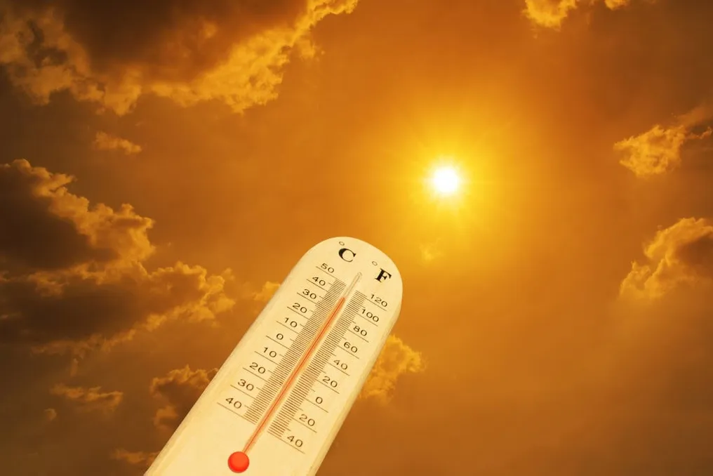
High temperatures will be notable in certain areas: Boa Vista reaches 38°C on Tuesday, Palmas registers 38°C on Wednesday, and Manaus may reach 37°C on Tuesday.
More information about the weather
In the Northeast, rain is mainly restricted to the coastal strip, with forecasts of isolated showers between Sergipe and Rio Grande do Norte, as well as in parts of Bahia and Ceará. In the interior of this region, the weather remains drier, warning of low humidity levels in several areas.
Teresina is expected to be the capital with the highest forecasted temperature, reaching a maximum of 39°C on both Tuesday and Wednesday.
The week promises the largest volumes of rain concentrated in the central-south of the country. In the South, accumulations could reach 200 millimeters in parts of northern Rio Grande do Sul and western Santa Catarina and Paraná. Additionally, there is a projection of up to 100 millimeters in locations in São Paulo, Mato Grosso do Sul, and Amazonas.
In summary, the forecast indicates a climatic contrast: while the Central-South faces periods of rain and thunderstorms, the North and Northeast regions maintain intense heat and lower incidence of rainfall.