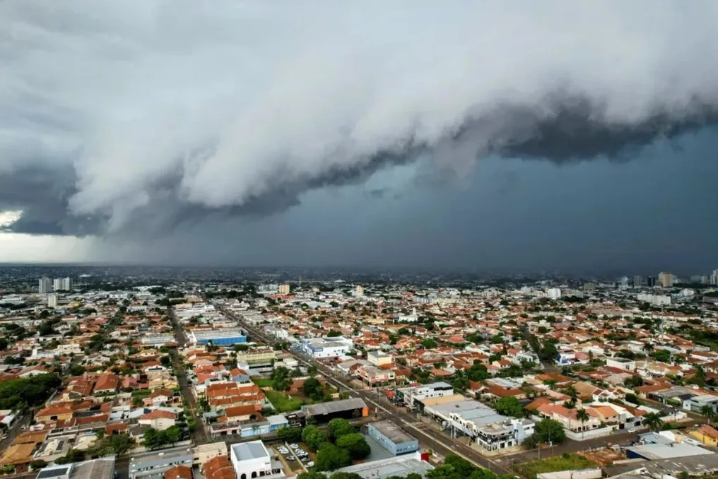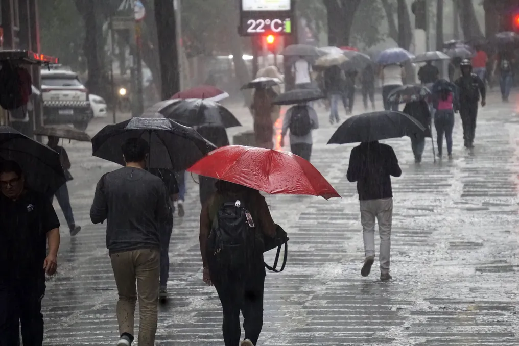
The eve of the first round of the 2026 elections will be marked by intense rainfall in certain regions of the Southeast and the risk of storms in the South of the country.
This Saturday (3), instability areas are expected to expand across most of the national territory, gaining intensity especially from the afternoon. According to the National Institute of Meteorology (Inmet), a low pressure system located between northern Argentina and western Paraguay should drive the transport of hot and humid air towards Southern Brazil. A trough, characterized as an elongated area of low pressure, also contributes to maintaining unstable weather in the region.
Weather conditions in the Southeast
In the Southeast, the largest volumes of precipitation predicted for Saturday are concentrated in southeastern Minas Gerais and western Rio de Janeiro, areas under red alert due to the high risk of large accumulations of rain. Additionally, heavy rain is forecast in northwestern, northern, and eastern São Paulo, the Triângulo Mineiro, central and eastern Minas Gerais, and central and southern Espírito Santo, where Inmet maintains an orange warning.
Although São Paulo may experience more stable periods during the morning, instabilities are expected to grow in the afternoon, spreading rain across much of the Southeast. Minas Gerais, Rio de Janeiro, and Espírito Santo also have the potential to record thunderstorms. Regarding temperatures, in Rio de Janeiro (RJ), they are expected to range between 19°C and 23°C, while in Belo Horizonte (MG) and Vitória (ES), the expected highs are 25°C, under milder and unstable conditions.
Situation in the South of the country
In the South, Saturday should start calmer in several locations, but the climate scenario changes throughout the day. The increase in clouds will cause rain to advance mainly over Rio Grande do Sul, western Santa Catarina, and western Paraná between the afternoon and evening. Rio Grande do Sul is where the most severe storms in the region will concentrate, with forecasts of moderate to heavy rain, thunderstorms, hail, and intense gusts, especially in the west-central and southwestern parts of the state, potentially reaching gusts of up to 90 km/h in isolated points.
In Santa Catarina, the most unstable zones should emerge primarily in the west. In Paraná, showers are likely to affect the western half and the north of the state first, with gusts potentially reaching approximately 70 km/h in western and south-central Santa Catarina and southwestern Paraná.
The Central-West will also undergo changes on Saturday. Mato Grosso, Goiás, the Federal District, and parts of Mato Grosso do Sul should have many clouds and isolated rains. In northeastern Mato Grosso and northern Goiás, the rain may be accompanied by thunderstorms. In Brasília (DF), the expected temperature ranges between 18°C and 25°C. Goiânia (GO) may reach 26°C, Campo Grande (MS) may reach 30°C, and Cuiabá (MT) may register 32°C.
In the North, rain should occur mainly in Amazonas, Tocantins, central and southern Pará, as well as in parts of Rondônia and Roraima. However, northern Pará and Amapá should have a calmer Saturday, with highs potentially reaching 36°C in Boa Vista (RR), Belém (PA), Manaus (AM), and Porto Velho (RO).
In the Northeast, the areas most prone to instability are inland, specifically in central and southern Maranhão, central, southern, and western Piauí, and in the west and southwest of Bahia. At night, there may be isolated rains along stretches of the coast between Bahia and Rio Grande do Norte, maintaining intense heat in the northeastern interior, where Teresina (PI) may reach 39°C, and other regional capitals are expected to register highs between 30°C and 32°C.
How the weather will be on election Sunday
On Sunday (4), the first round of the 2026 elections, much of the country will have unstable weather. The National Institute of Meteorology (Inmet) predicts rain and thunderstorms in areas of all five regions, in addition to storm alerts in various states.
In the South, Sunday will be characterized by rain in Paraná and Santa Catarina, as well as in the northwest and east of Rio Grande do Sul. The greatest risk of storms, with a red alert, is concentrated in the west and southwest of Paraná, influenced by an extratropical cyclone near the South Region's coast and a cold front associated with the system.
In the Southeast, the forecast points to rain in much of São Paulo, Minas Gerais, and Rio de Janeiro, although northern Minas Gerais should have more stable weather. In São Paulo (SP), the temperature may vary between 15°C and 27°C, and in Rio de Janeiro (RJ), the maximum may reach 30°C.
The Central-West should also be rainy, with Goiás, the Federal District, northern Mato Grosso, and much of Mato Grosso do Sul potentially receiving rain accompanied by thunderstorms. Southern Mato Grosso do Sul is under an orange warning for storms. In the North, rain should mainly affect Amazonas, Acre, Rondônia, and Tocantins, with a risk of storms in parts of Pará, while Roraima, Amapá, and northern Pará should have firmer periods. Finally, in the Northeast, the interior should have a predominance of sun, with more scattered rains in western Bahia, the coast of Maranhão, and coastal stretches between Bahia and Rio Grande do Norte. Teresina (PI) may reach 39°C.