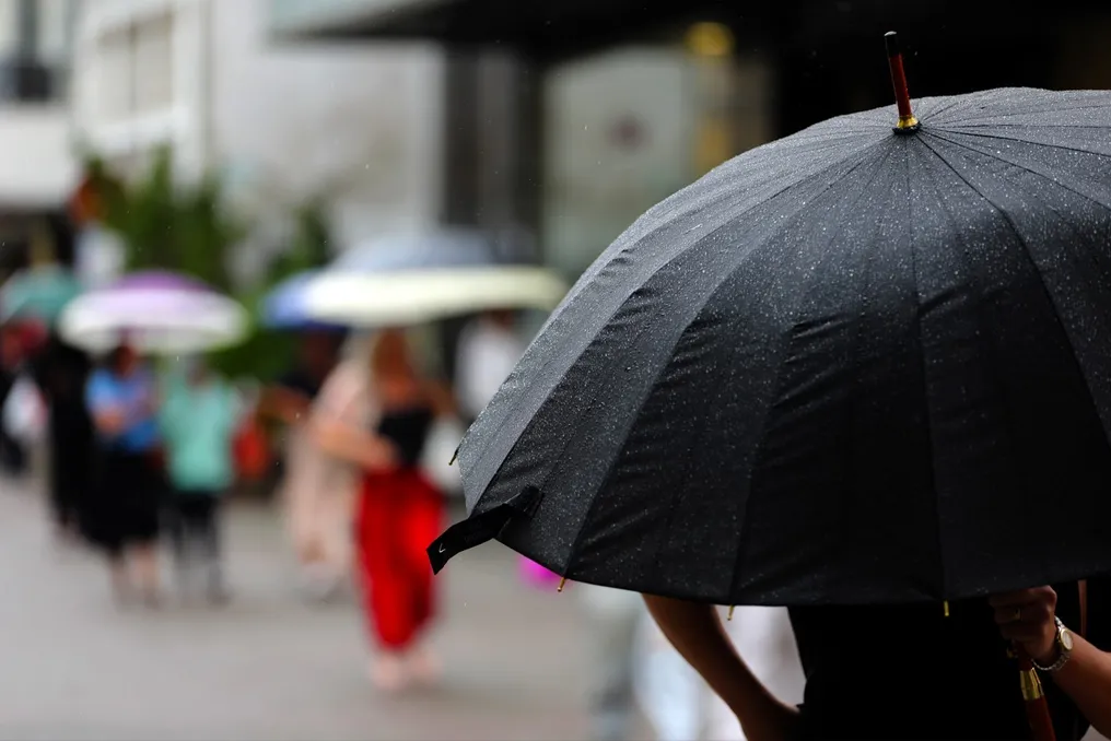
Cold front advances in Santa Catarina this weekend, with risk of strong winds and storms in some regions
Read more
Grupo Globo
g1.globo.com

Cold front advances in Santa Catarina this weekend, with risk of strong winds and storms in some regions

According to the State Secretariat for Civil Protection and Defense, the election weekend in Santa Catarina (SC) presents a risk of storms accompanied by strong winds and gusts of wind that may exceed 80 km/h in specific points.

This alert is particularly relevant for the areas of Extreme West, West, and part of the Central West. In these locations, the danger is considered high, potentially causing roof damage, damage to electrical infrastructure, and the falling of branches and trees. Civil Defense also does not rule out the possibility of severe storms.

In other regions of the state, storms are expected in isolation, although there remains a moderate risk of intense rainfall and strong winds.

The cold front is expected to move away from Santa Catarina by Sunday morning, which should provide a general improvement in weather across the state. The Civil Defense meteorologist, Caio Guerra, commented that despite possible rain on Sunday morning, election day should present greater stability, especially during the afternoon.

Civil Defense advises the population to take specific precautions: during storms, it is advisable to seek shelter in safe places, away from windows and objects that could be thrown; in situations of strong winds, one should avoid traveling or sheltering near trees, signs, walls, and power poles; and in cases of flooding, it is forbidden to cross flooded roads, bridges, or submerged passages.

Similar stories

Rain forecast for all regions of Mato Grosso do Sul on the 2026 election Sunday
Read more
g1.globo.com

Rain forecast for all regions of Mato Grosso do Sul on the 2026 election Sunday

Rain is expected in large parts of Mato Grosso do Sul this Sunday, the 4th, which marks the first round of the 2026 elections. The combination of a new cold front crossing South-Central Brazil, along with heat and humidity, favors the formation of rain showers and raises the risk of thunderstorms throughout the day.

Initially, in the early hours of Sunday, precipitation should be concentrated in certain locations. However, throughout the afternoon, the climatic instability should extend to other areas of the state. This union between the cold front and humidity may result in isolated thunderstorms in various points of Mato Grosso do Sul.

In Campo Grande, the rain showers expected for Sunday afternoon are anticipated to be of moderate to heavy intensity. For this reason, it is recommended that voters pay attention to weather conditions while traveling to polling stations. The first round of the 2026 elections will take place nationwide this Sunday (4).

Weather forecast in major cities of MS

For Campo Grande, forecasts vary depending on the specific city. In one projection, Sunday shows a minimum of 23°C and a maximum of 28°C, with sun and many clouds in the morning, followed by thunderstorms in the afternoon and evening, presenting a 91% chance of rain. Another forecast indicates a minimum of 21°C and a maximum of 23°C, with cloudy skies and heavy rain during the day, decreasing in intensity at night, with a 97% chance.

In other analyses for Campo Grande, there are projections of higher temperatures, such as a minimum of 25°C and a maximum of 36°C, with rain showers expected in the afternoon and evening, with an 85% probability. A fourth projection points to severe weather, with heavy rain and thunder throughout the day, with a 97% chance. Another forecast shows a minimum of 22°C and a maximum of 31°C, with quick rains expected during the day and night, with an 81% chance of rain.

Weather forecast for Campinas: chance of storms and rain on election Sunday
Read more
g1.globo.com

Weather forecast for Campinas: chance of storms and rain on election Sunday

According to the Center for Meteorological and Climatic Research Applied to Agriculture (Cepagri), affiliated with Unicamp, moderate to strong winds are expected in the late morning, and there is a high probability of storms in the Campinas region during the afternoon.

These storms have the potential to generate intense rain, wind gusts, and electrical discharges. Temperatures forecast for Campinas will range between 18°C and 28°C, with a feeling of mugginess.

What will the weather be like in Campinas on Sunday?

For Campinas and surrounding areas, Cepagri details the following forecast: there will be periods of sun during the morning; in the late morning and early afternoon, the winds will be moderate to strong; in the afternoon, cloud cover will increase with a high chance of storms. Risks include heavy rain, strong winds, and many lightning strikes, while temperatures will remain between 18°C and 28°C.

Saturday may also have rain in Campinas

On Saturday (the 3rd), the weather in Campinas and the region is also expected to be unstable. The expectation is partly cloudy skies, with periods of greater cloud cover and rain showers starting from the afternoon. There is a possibility of thunderstorms and intense rain in certain locations, with temperatures varying between 16°C and 25°C.

And in the state of São Paulo?

Regarding the state of São Paulo, Cepagri anticipates the arrival of a new cold front this Sunday, which should drive new precipitation in various areas. The sky is expected to have heavy cloud cover, and rain showers are forecast. The greatest danger of storms is concentrated in the western half of the state, where heavy rain accompanied by lightning may occur, without ruling out isolated hail.

At the state level, minimum temperatures are projected between 16°C and 22°C. Maximums may reach 30°C to 34°C in northwestern São Paulo, and vary between 22°C and 30°C in the rest of the state.

Precautions during storms

Cepagri issues an alert stating that storms can develop rapidly, causing abrupt changes in the climate. The recommendation is to seek refuge in safe places, keep distance from trees and fragile structures, and never cross flooded areas.

Sunday elections will feature storms and strong winds in the South-Central region of Brazil
Read more
olhardigital.com.br

Sunday elections will feature storms and strong winds in the South-Central region of Brazil

The weekend of the first round of elections in Brazil will be marked by rain and instability in various regions, requiring special attention for Sunday, election day. The South-Central region, in particular, is expected to face storms and intense winds.

São Paulo may record storms and wind gusts of up to 53 km/h, while Curitiba has a forecast of gusts up to 55 km/h, and Porto Alegre is expected to receive rain, thunder, and winds close to 50 km/h.

Climate changes are beginning to be noticed as early as Saturday, when a low-pressure area facilitates the return of storms to the South. On Sunday, these instabilities intensify or advance in parts of the South-Central region, while the North and Northeast maintain heat with isolated showers.

Conditions in the Southeast

In the Southeast, precipitation persists on Saturday and takes on new characteristics on Sunday. Although São Paulo has showers on Saturday, the arrival of a new cold front increases the risk of strong winds and storms on voting day, with gusts potentially reaching 53 km/h in the capital.

Rio de Janeiro and Belo Horizonte will also show weather changes. In Rio, the rain weakens on Sunday, with the maximum temperature forecast at 30°C. In Belo Horizonte, there is still a possibility of rain, concentrated mainly in the afternoon. Vitória may experience rain and thunderstorms during the morning.

Situation in the South

In the Southern region, Friday starts with cool and more stable weather. The transformation occurs on Saturday, when a low-pressure area located between northern Argentina and western Paraguay brings rain and thunderstorms to Rio Grande do Sul, which is under an orange alert for storms.

This instability continues until Sunday. Porto Alegre will have rain and thunderstorms, with gusts close to 50 km/h. Curitiba transitions from a cloudy Saturday without significant rain to a Sunday with heavy rain in the afternoon and winds of up to 55 km/h. Florianópolis may also record showers and thunderstorms.

Midwest and North and Northeast Regions

The Midwest remains unstable throughout the weekend. Brasília will have showers and thunderstorms on both Saturday and Sunday, with the maximum near 26°C. In Goiânia, Saturday will bring passing rain and thunderstorms, while Sunday may culminate in a storm. Campo Grande also forecasts showers on Saturday, but the rain tends to intensify on Sunday, with potential for storms and higher precipitation volume.

Among the highlights of the forecast, the North maintains the predominance of heat, despite several areas having showers. Palmas will have rain and thunderstorms on Saturday and new showers on Sunday, with a maximum of 27°C.

Forecast in the Northeast

In the Northeast, the scenario is varied, alternating between heat, dry weather inland, and sporadic rains on the coast. Recife is expected to have showers on Saturday and rain accompanied by thunderstorms on Sunday. Aracaju may also record rain on both days, with a maximum near 28°C. Teresina remains one of the hottest locations, potentially reaching 38°C.

In summary, the weekend combines high temperatures in the North and Northeast with a more pronounced climatic change in the South-Central region, especially on Sunday, when some voting areas may be affected by rain, storms, and strong winds.
Popular