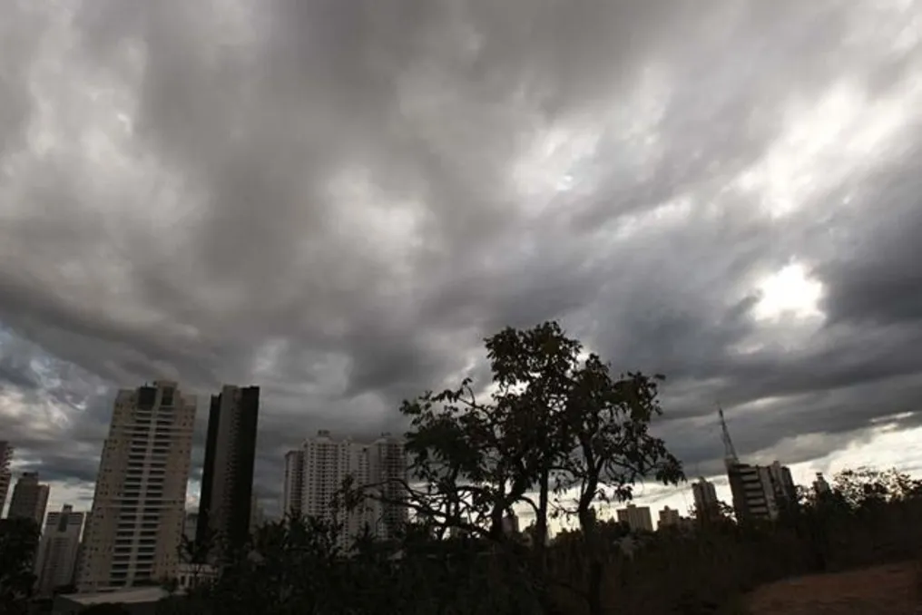
Due to the approaching cold front, the state of Goiás is expected to face forecasts of heavy rain and winds exceeding 70 km/h from this Friday through Sunday (the 4th).
The warning was issued by the Center for Meteorological and Hydrological Information of Goiás (Cimehgo), which states that zones of instability will cover the entire state.
According to Cimehgo data, this weather change, which should weaken previously recorded high temperatures, is caused by the advance of a cold front from the southeastern part of the country. The movement of this front will lead to increased cloudiness and create conditions for downpours of varying intensity in different regions, including the capital, Goiânia.
The center also reports a possible risk of isolated thunderstorms, which may be accompanied by:
- wind gusts up to 70 km/h;
- lightning strikes;
- hailfall.
According to Cimehgo, precipitation has already been registered in several cities during the first hours of this Friday. Among the cities noted by the center, the largest amounts of precipitation were recorded in the following settlements.
For this Friday, Cimehgo predicts a risk of thunderstorms in 153 out of 246 municipalities in Goiás.