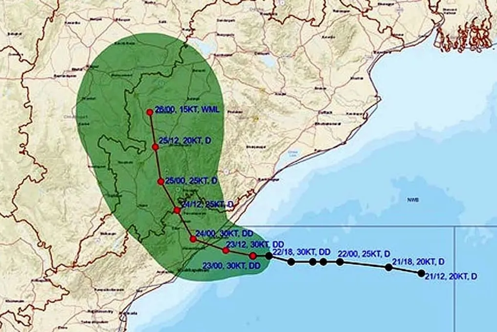
A Deep Depression located in the west-central and north-western parts of the Bay of Bengal has now approached quite close to the coastal areas. On September 23, 2026, at 5:30 AM Indian Standard Time, this system was centered near latitude 18.0 degrees North and longitude 84.7 degrees East.
At that time, the system was situated approximately 70 kilometers east-southeast of Kalingapattanam in Andhra Pradesh, 150 kilometers south of Gopalpur in Odisha, 230 kilometers southwest of Puri, and 150 kilometers east-northeast of Visakhapatnam. In the last six hours, it has moved westward at a speed of 12 kilometers per hour.
According to the Meteorological Department, this deep depression was a low-pressure area in the Bay of Bengal, which has been strengthening continuously in recent days and has now come very close to the coast. At the morning's position, it was only 70 kilometers from Kalingapattanam, indicating proximity to landfall. Its speed remains at 12 kilometers per hour in the westward direction.
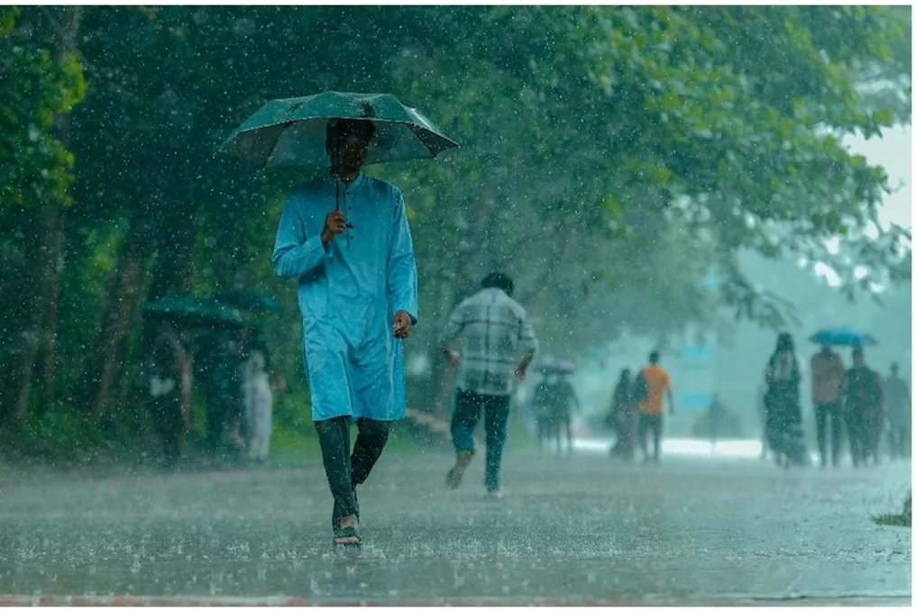
Due to its further movement in the west-northwest direction, it will proceed towards Odisha via the coastal areas of Andhra Pradesh. Due to such closeness, local effects will start being felt rapidly. The coastal areas will remain cloudy, and the intensity of rainfall may increase. The sea may become rough, so fishermen have been strictly advised not to go into the sea. There is also a possibility of waterlogging in low-lying areas.
Adopting a west-northwest trajectory, it will move from the coastal areas of Andhra Pradesh towards Odisha, leading to rapid local impacts. Coastal areas will be cloudy, and the intensity of rain may increase. The sea might become turbulent, so fishermen are strongly advised not to venture into the sea. Waterlogging is feared in low-lying areas.
Heavy to very heavy rainfall is expected in Visakhapatnam, Srikakulam, and surrounding districts of North Andhra Pradesh. Similarly, the same situation will prevail in the Ganjam, Puri, and Gopalpur regions of South Odisha. Strong winds are capable of uprooting trees and disrupting power supply. Rising river levels may pose a flood risk, putting pressure on the drainage system of cities.
The administration has issued an alert in the coastal districts. People are advised to stay in higher places, avoid non-essential travel, and pay attention to updates provided by the Meteorological Department. Schools and offices may be affected, while farmers have been instructed to take measures to protect their crops. Relief materials and emergency teams have been kept ready.
After crossing the coast, the impact of the deep depression may spread to inland areas, including parts of Telangana and Chhattisgarh, where rainfall may occur. The process of this system weakening is being closely monitored, and the Meteorological Department is issuing regular bulletins. Local administration has activated relief camps and medical teams.
Although such systems are common in the final phase of the monsoon, remaining intense so close to the coast presents a challenge. Heavy rainfall may increase the risk of landslides in hilly areas. Backup arrangements are necessary given the possibility of power cuts and communication disruptions.
The public has been requested to remain calm and follow official instructions, while avoiding rumors spread on social media and obtaining accurate information from the Meteorological Department's website or app. Even after the deep depression passes, the weather may remain unstable for a few days, so caution is important in waterlogged areas. Damage can be minimized with the cooperation of the administration and citizens, so everyone needs to remain vigilant as this system may cross the coast by night.