Meghalaya: Region with Record Rainfall Faces Growing Drought Risk Due to Climate Change
Read more
Aaj Tak
www.aajtak.in

Meghalaya: Region with Record Rainfall Faces Growing Drought Risk Due to Climate Change

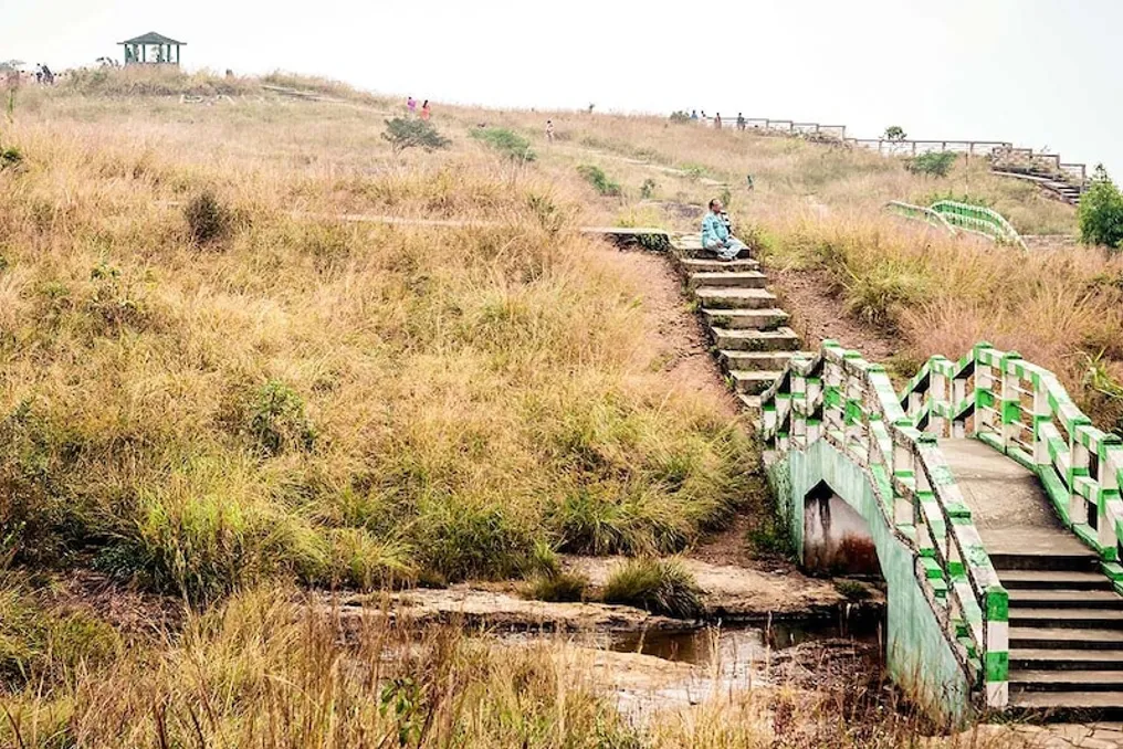
Meghalaya, including Mawsynram and Cherrapunji, is traditionally known as one of the wettest regions in the world. However, a new study warns of an increasing risk of drought in these areas as climate change alters the pattern of precipitation.

The climate is changing such that rainfall now occurs less frequently but more intensely. The number of rainy days is decreasing, while temperatures are constantly rising. This causes water to run off the surface quickly instead of seeping into the soil, which prevents consistent water supply even during the monsoon season.

This study was published in the Theoretical and Applied Climatology Journal. The analysis covered climatic and hydrological data from 1981 to 2100. Researchers Ashesh Rudra Paul and Pankaj Kumar Roy found that the maximum local increase in daily intensity index is 0.08 millimeters per day per year. Meanwhile, the average number of rainy days decreases by 0.40 days per year.

Meghalaya's geographical location exacerbates this problem: it features steep hills and a thin layer of soil. When rains fall in heavy downpours, the water quickly runs off the surface without having time to replenish groundwater. Despite abundant rainfall during the monsoon season, there is a water deficit in the dry months.

The study indicates that this concentration of precipitation increases surface runoff and reduces absorption. Furthermore, rising temperatures accelerate evaporation and plant water loss, rapidly depleting soil moisture. This intensifies the demand for water on non-rainy days, creating conditions for drought.

The researchers used the standardized three-month precipitation evapotranspiration index. The analysis showed that in the near and distant future, droughts will occur more frequently and become more intense, based on the scenario of rapid economic growth and fossil fuel dependence. This will also affect river flow.

The Sari-Gawai and Surma-Meghna basins, which originate in or receive water from Meghalaya, were studied. According to the SSP585 model, the average annual flow in the Sari-Gawai basin could decrease by 9.8% and in the Surma-Meghna by 11.6% in the distant future. River water will concentrate mainly during the monsoon, peaking in June-July, and then drop sharply, increasing the risk of hydrological drought in subsequent months.

Local residents also report water shortages; inhabitants of Sohara and Mawsynram report that many sources and springs have begun drying up earlier. This trend became noticeable as early as mid-September. One local resident noted that many springs in the Sohara area are drying up. It should be noted that the study did not account for anthropogenic factors such as deforestation, urbanization, land-use change, and excessive groundwater exploitation, which also affect water availability.

The researchers emphasized the need to implement water resource management strategies. It is important to consider not only the total amount of precipitation but also its intensity, distribution, temperature rise, and basin flow levels. Collaboration between scientists, policymakers, and local communities is essential. Traditional water conservation methods in regions like Meghalaya must be strengthened, and modern technologies must be introduced. This study demonstrates that even in areas with abundant rain, climate change can pose a drought threat, and only proper water management and environmental conservation can ensure a secure future.
Similar stories

Rain expected in several parts of North, East, and South India in the next 24 hours as monsoon withdraws
Read more
www.aajtak.in

Rain expected in several parts of North, East, and South India in the next 24 hours as monsoon withdraws

The monsoon is now gradually moving towards its departure. According to the Meteorological Department (IMD), conditions have become favorable for the withdrawal of the southwest monsoon from some areas of West Rajasthan. However, despite the monsoon leaving, rainfall activity is not expected to stop. The retreating monsoon may bring rain, thunderstorms, and heavy rainfall in some places across various parts of North-West, North-East, and South India within the next twenty-four hours.

The Meteorological Department has stated that heavy rainfall is anticipated in some places in states like Haryana, Punjab, Andaman and Nicobar Islands, Kerala, and Tamil Nadu. Additionally, rain is likely to continue in Delhi, Uttarakhand, Himachal Pradesh, Uttar Pradesh, Jammu and Kashmir, and Eastern Rajasthan. Heavy rainfall may also occur in some places in Arunachal Pradesh, Assam, Meghalaya, and sub-Himalayan West Bengal-Sikkim in the North-East.

According to the Meteorological Department's forecast, scattered rain with strong winds may occur in Delhi-NCR on September 17. Wind speed is estimated to be between 50 to 60 kilometers per hour. On the same day, the maximum temperature in Delhi-NCR is expected to be 31 degrees Celsius and the minimum temperature 24 degrees Celsius.

The Meteorological Department believes that the monsoon is slowly weakening in Uttar Pradesh and the amount of rainfall will decrease in the next two to three days. Due to the retreating monsoon, rain with strong winds may occur in Gautam Buddha Nagar, Ghaziabad, Meerut, Agra, Mathura, Kanpur, Mirzapur, Bijnor, Muzaffarnagar, Bulandshahr, Balrampur, Siddharthnagar, Maharajganj, Gorakhpur, Azamgarh, Deoria, Sonbhadra, Chandauli, Mau, Varanasi, Prayagraj, and Ayodhya. During this period, the maximum temperature in the capital Lucknow is estimated to be 33 degrees Celsius and the minimum temperature 25 degrees Celsius.

Due to changes in the weather system, a decrease in rainfall activity is expected in Gujarat. This is because the low-pressure area formed near southeastern Pakistan has shifted to Saurashtra and the adjacent North-Eastern Arabian Sea. Because of this, the scope of rainfall in Gujarat may decrease, although rain and thunderstorms may continue in some places in Saurashtra and Kutch.

According to the Meteorological Department, the cyclonic circulation associated with this low-pressure area extends up to an altitude of about 9.4 kilometers above sea level. Furthermore, a cyclonic circulation is active in the upper atmosphere near the Gulf of Northwest Bengal and North Coastal Odisha. A cyclonic circulation is also present in the upper atmosphere over South Coastal Andhra Pradesh and surrounding areas.

In the next 24 hours, light to moderate rain with some heavy rainfall may occur in places in the Andaman and Nicobar Islands, Haryana, and Punjab. There is also a possibility of thunderstorms and lightning in these areas.

Light to moderate rain is likely in Jammu and Kashmir, Himachal Pradesh, Uttarakhand, Uttar Pradesh, and Eastern Rajasthan. Scattered rain and thunderstorms may be observed in some places in West Rajasthan.

Rain and thunderstorms may also occur in some places in Madhya Pradesh, Chhattisgarh, Vidarbha, Central Maharashtra, and Marathwada. An increase in the scope of rainfall is expected in Eastern Madhya Pradesh. Rain may occur in many places in Konkan and Goa.

The spell of rain will continue in North-East India as well. Light to moderate rain with some heavy rainfall may occur in Arunachal Pradesh, Assam, and Meghalaya. Rain is also expected in sub-Himalayan West Bengal and Sikkim. Rain may occur in many places in West Bengal and Andaman-Nicobar of the Ganges. Rainfall and thunderstorm activities may be seen in some to many areas in Bihar, Jharkhand, and Odisha.

Rain may continue in many places in Kerala and Lakshadweep in South India. There is a possibility of heavy rainfall in some places in Kerala. Tamil Nadu may see light to moderate rain with heavy rainfall in some places. Rain and thunderstorms may persist in Andhra Pradesh, Telangana, and interior Karnataka. Strong surface winds are also feared in some parts of Andhra Pradesh.

In the last twenty-four hours, rain or showers with thunder occurred in many places in Himachal Pradesh, Uttarakhand, Western Uttar Pradesh, sub-Himalayan West Bengal and Sikkim, Saurashtra-Kutch, South Interior Karnataka, Andaman-Nicobar, and Lakshadweep. During this time, some places in many states including Jammu and Kashmir, Haryana, East Uttar Pradesh, Bihar, Jharkhand, Odisha, West Bengal, Assam, Meghalaya, Nagaland, Manipur, Mizoram, and Tripura also received rain. Regarding rainfall data, Lengpui recorded 10 cm, while Bengaluru, Hatbe, and Tuni recorded 6 cm of rain. Port Blair, Ajmer, Minicoy, and Dhubri recorded 2 cm of rain.

In terms of temperature, the highest maximum temperature of 39.6 degrees Celsius was recorded in Jaisalmer of Rajasthan, while the minimum temperature in plains was 17 degrees Celsius in Haflong of Assam. The maximum temperature was significantly higher than normal in some parts of Rayalaseema. High temperatures were also recorded in some areas of Telangana and South Interior Karnataka.

Popular