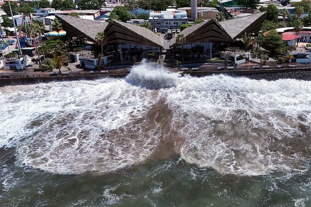
El Niño has set a new historical record for Pacific Ocean temperatures. The sea surface temperature in the Nino 3.4 region exceeded the norm by 3.05 degrees Celsius. This figure is the highest among daily measurements from 1991 to 2020.
The previous record, recorded in November 2015, was about 3.02 degrees Celsius. However, the current level was reached as early as September, two months ahead of schedule. Scientists note that El Niño continues to strengthen and may reach its peak by December.
El Niño is a natural climatic phenomenon characterized by rising water temperatures in the eastern and central parts of the Pacific Ocean, initiated by changes in winds. The increase in water temperature increases evaporation and affects global weather patterns. This event began nine months ago with wind changes in the western Pacific and gradually reached super-El Niño levels.
The Nino 3.4 region is used to assess the intensity of El Niño by measuring temperature. The reading of 3.05 degrees Celsius is the highest in modern history, surpassing strong events such as those in 1982, 1997, and 2015. Some analysts compare this situation to the historical event of 1877, which led to widespread droughts and famine.
Modeling shows that monthly averages could become even higher; some forecasts suggest the peak might approach 4 degrees, although this remains uncertain. This record is critical because El Niño, combined with climate change, can amplify its impacts. With planetary warming, sea temperatures are already at a high level, leading to the exacerbation of new phenomena.
Scientists monitor data daily, taking into account fluctuations in daily readings. This data helps understand how the natural cycle influences the global climate system, which is under increasing pressure due to the reached record levels.
The impact of El Niño manifests differently in various regions. The greatest impact this winter is expected in America: northern areas may experience warmer than usual temperatures, while western and central parts may see an increase in snowfall.
In South America, cases of heavy rains and floods have already been recorded in Peru and Chile. In Central America and the Caribbean, there is a risk of increased drought, which will negatively affect harvests. In Asia, including India, monsoon weakening is possible. In Indonesia, the problem of forest fires and smoke is increasing, and in Australia, the drought situation is worsening.
Precipitation patterns may also change in some parts of Africa. Overall, the risk of phenomena such as floods, droughts, heatwaves, and storms is increasing. Meteorological services are conducting constant monitoring. National meteorological services are issuing warnings for farmers, disaster management agencies, and the general public.
Consequently, measures for water conservation, adjustment of sowing plans, and preparation for emergencies are becoming necessary. The load on power supply systems, food security, and healthcare is increasing. International cooperation can assist affected territories. Although El Niño is part of a natural cycle, its current intensity raises serious concerns, reminding us of the power of climatic patterns and the need for advance preparation. The public is advised to follow official updates and comply with local authorities' instructions.