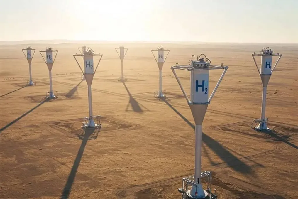
While the global energy scenario focuses on producing clean fuels through industrial processes, researchers in Brazil have directed their efforts and equipment underground. The main focus is locating natural hydrogen, also known as white or geological hydrogen, a clean energy source that emits no pollutants because its combustion results only in water vapor.
In this national endeavor, the National Observatory (ON) developed the H2GEO project. This initiative employs sophisticated geophysical methods to investigate, map, and understand the distribution of natural hydrogen in the Brazilian subsurface.
Unlike green hydrogen, which requires the electrolysis of water using renewable electricity, natural hydrogen is intrinsically generated by the Earth. It arises from chemical interactions between iron-rich minerals and groundwater under conditions of high pressure and temperature, or through radiolysis caused by the natural radiation of rocks.
In the energy context, hydrogen is categorized by its 'colors.' A significant advantage of natural hydrogen lies in its cost and sustainability: it only requires energy for extraction, not for production in factories, similar to natural gas, but without pollutant emissions, since its burning produces only water vapor.
Arthur Benevides, a geophysicist, researcher, and postgraduate professor at the ON, details that this gas has transformative potential for the current energy matrix. According to him, natural, or geological, hydrogen is a gas naturally generated within the Earth by geological and biological processes, making it free to produce. Benevides points out that recent global discoveries indicate that this resource may be present in notable concentrations in the subsurface, sparking great scientific interest as a new low-carbon energy source, aiding in the diversification of existing matrices.
Benevides emphasizes that geological hydrogen is establishing itself as a rapidly expanding area of research, where the gratuity of the natural generating process represents an important competitive differential when compared to the high operational costs of industrial green hydrogen.
The H2GEO project uses geophysical methods that function as an 'X-ray' of the Earth's crust. These tools allow for mapping the physical characteristics of the soil and identifying signs of gas accumulation without the immediate need for expensive and deep drilling.
ON scientists aim to elucidate the three crucial phases of the geological hydrogen cycle in the Brazilian subsurface. In addition to internal sedimentary basins, the Lagos Region, in the state of Rio de Janeiro, has become a strategic point for H2GEO investigations. Recent measurements and experiments conducted in cities such as Araruama and Maricá detected geochemical anomalies of great scientific value.
Explaining the focus on the Fluminense coastal strip, Benevides mentioned that interest increased after the identification of anomalies related to the exudation of natural hydrogen, reported in a 2024 article in the Maricá region. New geochemical analyses were performed in collaboration with the Brazilian Geological Survey, expanding the investigation across the entire Lagos Region and revealing other gas leakage sites. For him, these proofs suggest active geological processes of resource generation and transport, consolidating the location as a natural laboratory to study the dynamics of subterranean migration and accumulation of hydrogen.
Benevides informed that the studies are supported by industry to map the geological system of Rio de Janeiro and Minas Gerais. At the National Observatory, through the Applied Geophysics Laboratory, a project funded by Petronas has already carried out several collections to understand the geological system of Rio de Janeiro and Minas, making the Lagos Region a strategic pilot area to understand the hydrogen system linked to these exudations.
The investigation in the Lagos Region demonstrates how surface and near-surface geochemical studies can define the migration routes of the gas. The presence of exudations—points where natural hydrogen emerges from the subsurface—provides clues about the gas circulation in the geological system.
To map potential reservoirs and track hydrogen dynamics without unnecessary excavations, scientists use a combination of geophysical, geological, and geochemical methods. This process is compared to a medical imaging exam, where different properties of the body are analyzed without invasive interventions.
According to Benevides, subsurface analysis depends on measuring variations in physical parameters between different rock types and the fluids contained within them. Changes in density, electrical conductivity, magnetism, and mechanical wave propagation offer indications of gas presence.
In Araruama, the ON installed advanced instrumentation to collect continuous data from the crust, including drone surveys, electromagnetic methods, and passive seismic monitoring. Benevides explained that the study combines complementary techniques of geophysics, geology, and geochemistry, incorporating seismic sensors to measure ground vibrations, electromagnetic methods to assess rock resistivity, drone magnetic surveys, and soil and gas geochemical analyses.
The researcher highlighted that the differential lies in the union of these analytical methodologies. 'The integration of this information allows us to have a much more complete view of the subsurface than if we used only one technique. Thus, by using all this tooling, we feed knowledge about the study area region and also about the formation system of this natural hydrogen, in the case of the Lagos Region.'
Among the instruments, seismic sensors are vital for three-dimensional mapping. Instead of using artificial sources of heavy noise, they capture the constant 'ambient noise.' Benevides detailed that passive seismology helps locate promising underground structures. 'These seismic sensors record small vibrations that are constantly present in the environment, generated by natural phenomena and human activity itself. From these records, using physical principles and mathematical techniques, we can build three-dimensional images of the region, and these images help us identify areas where the properties of the rocks have been altered, whether by fluid circulation or temperature change or discontinuity. This provides us with important clues about the geological systems associated with hydrogen.'
The integration of drone data, electromagnetic measurements, and seismic sensors enables the creation of high-precision geological models, allowing the identification of tectonic faults that serve as conduits and porous rocks that act as hydrogen traps.
Initial analyses and geological records point to the existence of natural hydrogen emanations in sedimentary basins of states such as Minas Gerais, Ceará, Tocantins, and Roraima. In certain areas, the gas escapes naturally to the surface, forming depressions known as 'fairy circles.' If the H2GEO project confirms commercially exploitable reserves in Brazil, the country could become one of the global leaders in the direct exploration of this clean and renewable source. However, converting this potential into a market requires progress in regulation, development of transport infrastructure, and attraction of investments for deep drilling, demanding integration between university work, the productive sector, and the government.