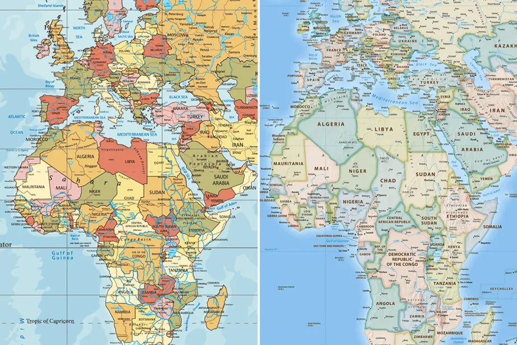
A new world map challenges the perception of the planet that has been used for centuries. The Equal Earth projection displays Africa in proportions closer to its actual area, reducing the distortions inherent in the traditional Mercator map.
The discussion gained momentum after Togo submitted a resolution to the UN aimed at gradually abandoning the use of the traditional projection and adopting a representation that better reflects the scale of territories. This decision is not mandatory and also affects our perception of size, power, and territory.
The Mercator projection visually enlarges regions closer to the poles and proportionally shrinks those nearer to the equator. Because of this, Africa appears smaller, while North America and Eurasia occupy a larger area relative to their actual size.
When compared to the traditional map, Equal Earth demonstrates that Africa occupies nearly twice the land area. For those accustomed to seeing this same representation, such a difference may cause bewilderment.
Eromo Egbedjole, a Guardian correspondent in West Africa, believes that this issue is scientific, not an imposed ideological one. He stated: 'This is a scientific discussion. It is not an imposition.'
The distortion is also evident in the depiction of Greenland. On the Mercator map, the island appears to be roughly the same size as Africa, although it is actually 14 times smaller.
The text mentions that Donald Trump's interest in Greenland might have been due to the exaggerated size of the island in the traditional projection. Trump once described it as 'massive.'
Among the main points of the discussion: for Egbedjole, what matters is the precedent this initiative could set. He quotes two pidgin proverbs: 'every dance starts with a clap' and 'these rice grains fill the pot.'
This debate joins other initiatives that question established historical and cultural interpretations. The text also mentions a UN resolution on the transatlantic slave trade presented by one of the African countries.
The representation of territories within this discussion also takes on symbolic significance. According to the analysis presented, how countries are depicted on maps can reinforce links between territorial size, economic importance, and political power.
The issue also arises against the backdrop of concerns related to social media and artificial intelligence, which influence how information and events are perceived.
Africa No Filter, an organization participating in the map change campaign, summarized the problem: 'If we are wrong about something as basic as the size of Africa for so long, why do we accept things about Africa without question?'
The territory does not change when the projection changes. Only the way it is represented changes—and with it, the visual reference that helped shape the image of the world for many generations.