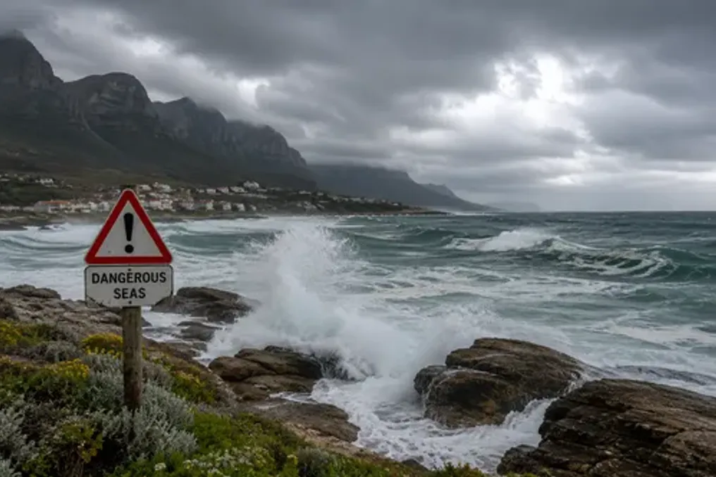
Strong winds of up to 80 km/h are expected on Monday, which will lead to disruptions in the operation of ports, small harbors, beach activities, and coastal navigation in eThekwini. The municipality has urged residents to take necessary precautions.
Forecasts indicate that damaging winds of up to 80 km/h may disrupt the activities of ports and small harbors, as well as coastal recreation. These warnings follow the issuance of a Yellow Level 2 warning by the South African Weather Service (SAWS).
The warning is valid on Monday, September 14, from 8 am to 11:59 pm. The municipality reported that a strong high-pressure system is expected to cause strong northwesterly or northeasterly winds with an average speed of 35 to 40 km/h and gusts up to 80 km/h.
The municipality noted that strong winds can have several impacts, especially along the coast and in marine areas. Marine operations may experience disruptions in ports and small harbors, complex navigation conditions, and an increased risk of small vessels taking on water or capsizing.
In coastal and land areas, beach activities may be interrupted, and localized structural damage is possible in formal and informal settlements.
Precautions
The municipality strongly recommended residents to observe the following precautions: residents should secure unsecured items outdoors, exercise caution when outdoors, and closely monitor weather changes. Drivers are advised to drive with extreme caution, especially on open routes and when operating high-sided vehicles. Beachgoers and coastal users must avoid high-risk activities on the shore and strictly follow all maritime safety warnings.
The city stated that municipal emergency response teams are on high alert to clear fallen trees, remove debris, clear drainage infrastructure blockages, and provide immediate assistance to affected communities. The city is monitoring the situation and will provide updates if conditions change. Residents are urged to contact the city's Disaster Management Centre at 031 361 0000 in case of an emergency.
SAWS warns of widespread severe weather
This warning was issued against the backdrop of SAWS warning people in several areas to prepare for a wet and potentially disruptive start to the week, with forecasts of heavy rain, severe thunderstorms, and damaging winds for Monday. SAWS issued a series of consequence-based warnings for Monday, September 14, the most severe of which is a Yellow Level 4 warning for disruptive rain in parts of the Western and Northern Cape.
Extensive rain and thunderstorms are expected over large areas of the country's western and central regions. According to SAWS, there is an 80% probability of rain and thunderstorms over a wide area stretching from parts of the Western Cape to the Northern Cape. The chance of precipitation and thunderstorms is 60% in other parts of the Northern Cape and the central interior, while parts of the Eastern Cape and KwaZulu-Natal have a 30% chance of rain. Localized rainfall is also expected over parts of Limpopo and Mpumalanga, where the probability of rain is around 30%.
Flooding and thunderstorms
The Yellow Level 4 disruptive rain warning covers an area extending through parts of the Western Cape into the Northern Cape. SAWS warned that the rainfall could cause flooding of roads and settlements, as well as serious traffic disruptions. A Yellow Level 2 severe thunderstorm warning has also been issued for parts of the Northern and Western Cape. Thunderstorms may lead to localized flooding in vulnerable roads, low-lying areas, and bridges, as well as localized damage to settlements in open areas. A Yellow Level 1 severe thunderstorm warning is in effect for the Eastern Cape, where storms may damage settlements and temporary structures, and cause localized disruptions to electricity and communication services.
Damaging winds increase risks
Strong winds will add complexity to Monday's weather conditions. The Yellow Level 2 damaging wind warning covers a large part of the interior, including parts of the Northern Cape, Northwest Cape, Free State, and Limpopo. The meteorological department warned of possible localized damage to settlements. Along the coastlines of KwaZulu-Natal and the Eastern Cape, Yellow Level 1 and Level 2 damaging wind warnings are in effect. The Level 2 coastal warning includes a risk to the navigation of small boats and vessels, as well as possible disruptions in the operation of small harbors, ports, and beach activities. In other areas along the affected coast, damaging winds may cause localized settlement damage, power and communication outages, and complex navigation conditions.