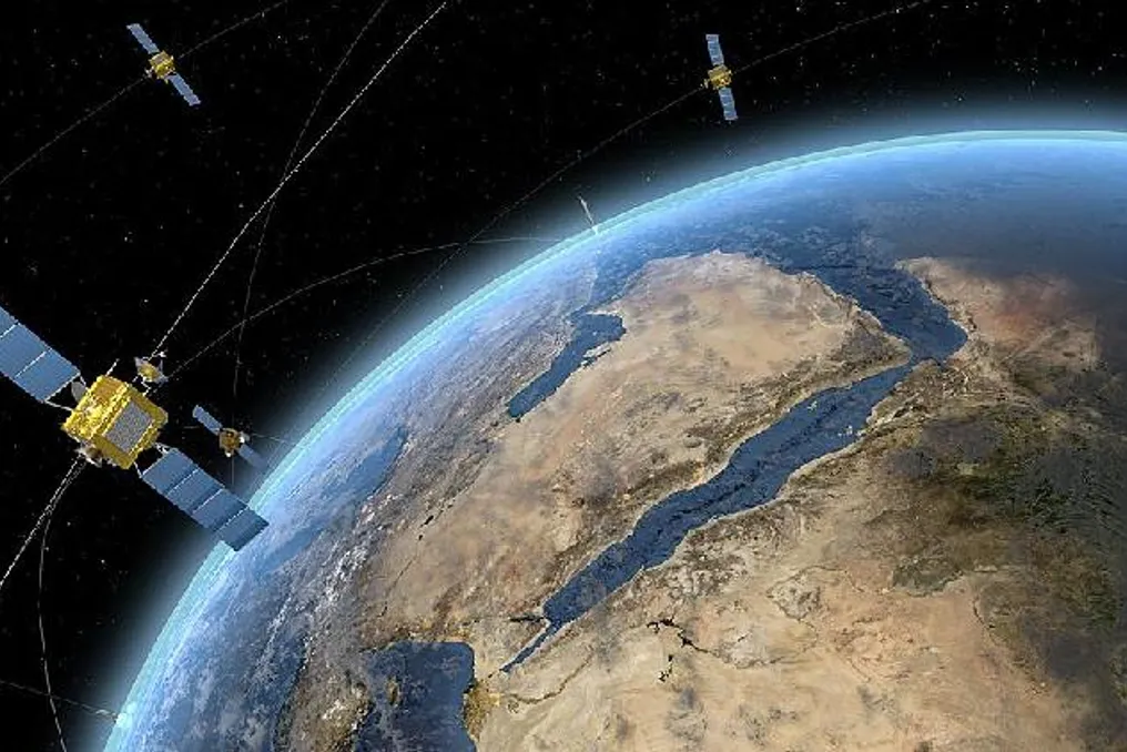
BRICS countries have intensified joint work in the field of space technologies, expanding the scope of interaction from general satellite projects to broader data exchange, disaster monitoring, and climate change response.
A significant step was the first meeting of the BRICS Joint Committee on Space Cooperation, held on May 25, 2022. Representatives from the space agencies of the five original BRICS members—Brazil, Russia, India, China, and South Africa—participated, officially establishing the cooperation mechanism.
The goal of this committee is to strengthen interaction between the space agencies of BRICS countries and promote the use of Earth remote sensing data in areas such as environmental protection, disaster prevention and mitigation, and climate change response. Through improved data exchange and application, this mechanism is expected to provide a new impetus to sustainable economic and social development in all BRICS countries.
This cooperation is based on an initiative put forward by China in 2015 to create a BRICS remote sensing satellite constellation. In August 2021, the five space agencies of BRICS countries signed an agreement defining the 'six satellites, five ground stations' cooperation model.
This constellation includes six existing satellites from member countries, including the Gaofen-6 and Ziyuan-3 02 satellites from China, the China-Brazil Earth Resources Satellite 04 (CBERS-04), the Kanopus-V type satellite from Russia, and the Resourcesat-2 and Resourcesat-2A satellites from India. Each country has its own ground receiving station.
According to the China National Space Administration (CNSA), this constellation was developed to better support the socio-economic development of BRICS countries, ensure wider access to common satellite imagery data for the five nations, and enhance data processing capabilities. Furthermore, the constellation will help build high-quality partnerships among BRICS countries.
CNSA noted that Earth remote sensing technology, due to its wide coverage, high resolution, and global observation capabilities, is becoming an increasingly important tool for solving global challenges of the 21st century, such as food security and water resource management.
The China-Brazil Earth Resources Program (CBERS), launched over three decades ago, is considered a model of South-South scientific and technical cooperation. The CBERS series, jointly developed by China and Brazil, includes six satellites. Currently operational CBERS-04 and CBERS-04A satellites support applications such as weather monitoring, forest protection, and disaster prevention. This program also contributes to broader BRICS cooperation in remote sensing.
BRICS countries are also expanding cooperation in satellite navigation. In 2026, China and Russia committed to implementing a roadmap for cooperation for the period 2026–2030 in the field of satellite navigation, enhancing compatibility between China's BeiDou navigation system and Russia's GLONASS system.
China has also cooperated with South Africa to promote the application of BeiDou systems and global navigation satellite systems in fields such as precision agriculture, transport and logistics, and public safety.
Expanding Cooperation to Solve Global Problems
At the meeting of the heads of BRICS space agencies (HOSA) in Bangalore, India, in June 2026, representatives of the expanded BRICS membership—including Brazil, China, Egypt, Ethiopia, India, Indonesia, Iran, Russia, South Africa, and the United Arab Emirates—discussed further strengthening cooperation in peaceful space exploration and the long-term sustainability of space activities.
Delegations discussed the potential for BRICS cooperation in using space technologies to solve global problems, especially in the areas of remote sensing, disaster management, and climate change. Progress was also made at this meeting in amending the BRICS Remote Sensing Satellite Constellation Agreement to include new members, and details of the proposed BRICS Space Council were discussed.
Strengthening International Cooperation in Space Data
China emphasized the importance of space cooperation by providing broader access to satellite data technologies and applications. Li Guoping, Chief Engineer of CNSA, stated at the International Air and Space Forum in Wenchang, Hainan, in August 2026, that CNSA will continue to promote open and inclusive space cooperation by expanding international interaction in satellite data applications, creating secure and efficient cross-border remote sensing platforms, and supporting countries, especially developing ones, in enhancing their space capabilities.
Li also reported that CNSA will strengthen cooperation through multilateral mechanisms such as the BRICS Remote Sensing Satellite Constellation, facilitate exchange in space personnel development, and work with international partners on issues such as space traffic management and long-term sustainability of outer space.