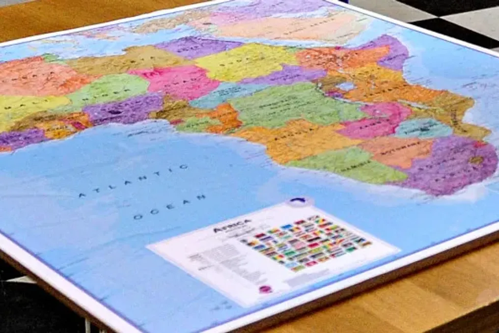
The United Nations (UN) approved a resolution called 'Correcting the Map,' which aims to adjust cartographic representations to better mirror the true size of Africa. The proposal received support from 164 nations, while the United States voted against it, and there were six abstentions from Estonia, Georgia, Lithuania, Moldova, Serbia, and Ukraine.
Proponents of this resolution argue that the Mercator projection, created in the 16th century by cartographer Gerardus Mercator and still used today, distorts reality by making Africa appear significantly smaller than it actually is, while visually inflating areas near the poles.
This distortion leads to the mistaken perception that Greenland and Africa are comparable in size on maps, when in fact, the African continent is approximately fourteen times larger. The resolution advocates for the end of the use of the Mercator projection and suggests adopting the Equal Earth projection, which ensures a proportional representation of countries and continents.
Before the vote, Togo warned about the historical consequences of these cartographic inaccuracies. Togo's Minister of Foreign Affairs, Robert Dussey, stated that this contributed to symbolically diminishing the magnitude of Africa and other regions, generating an unbalanced global geographical view, asserting that the issue transcends mere cartography.
Dussey added, in New York, that the issue is linked to cognitive justice, the right to access accurate geographical knowledge, the dignity of peoples, and the fight against inherited representations that shape world perception.
If the change is implemented, countries such as France, the United States, and Russia would appear visibly smaller on maps, while Africa, Latin America, and South Asia would gain proportional prominence. The African Union celebrated the initiative, describing it as a historic step toward a fair and accurate global cartographic representation.
The African Union emphasized that the resolution encourages the use of equal-area maps, such as Equal Earth, in educational settings, media, and international institutions, ensuring that the world map reflects the true scale and importance of Africa.
It is important to note that UN General Assembly resolutions do not have legally binding force, depending on the political will of member states. The United States, the only one to vote against, vehemently criticized the resolution, alleging that it 'ridicules the work and purpose' of the UN.
Washington argued that although the initiative seems like a neutral effort to update proportions, it cannot be dissociated from a broader ideological project. The American diplomat criticized the organization for debating 16th-century cartographic projects instead of focusing on real issues of peace or prosperity, questioning the institution's credibility.
This stance from Washington occurred the same week that Donald Trump proposed renaming the Strait of Hormuz to 'Trump Strait' and shortly after signing an executive order to change the name of Lake Ontario, on the Canadian border, to 'America Lake.' The previous year, Trump had decreed that the Gulf of Mexico be called 'Gulf of America,' leading companies like Apple and Google to update their maps in the US.