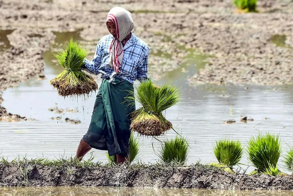
Thanks to artificial intelligence models from NASA and IBM, scientists have developed a new rice cultivation map for the entire Asian region during the monsoon season. This map allows for the identification of rice growing areas with a detail down to 30 meters. This atlas was created based on satellite data collected between 2018 and 2023.
Obtaining this information is critically important because Asia is the world's largest region for rice production. Since rice cultivation requires a significant amount of water and leads to methane emissions from fields, it is necessary to know precisely where and in what volume this agriculture takes place.
To create the map, researchers used the Earth model from NASA and IBM. The process involved analyzing images obtained from satellites, specifically data from Landsat and Sentinel-2 satellites, which allowed for the identification of rice fields in various locations. The accuracy of this map reaches an average of 84%, fluctuating between 83% and 90% in different areas.
Previously, it was difficult to gather accurate information about small fields across Asia, especially where fields are located very close to each other. Now, thanks to the combination of AI and satellite technology, this task is being solved much faster.
Rice cultivation consumes more water compared to many other crops because the fields remain flooded for extended periods during planting. According to old global estimates, about 24–30% of the freshwater used by humans worldwide is consumed specifically for growing rice. In Asia, this factor is even more significant, as a large part of the world's rice production comes from this region. The new map will help better understand which areas have the greatest water demand.
The impact of rice cultivation is not limited to water consumption. Prolonged flooding of fields leads to the formation of methane—a gas that contributes to global warming. According to scientists' estimates, approximately 32 teragrams of methane are emitted annually from rice fields worldwide, with a significant portion of this volume coming from Asia.
This atlas will allow scientists to study more deeply where and on what scale rice is grown in Asia, as well as track changes in these indicators over time. The gathered information can be used for more accurate forecasting of water consumption and methane emissions. Furthermore, the map will support the development of plans related to agriculture and ecology. Thus, the map created with the help of AI provides clearer and more detailed data on rice cultivation in Asia, simplifying the understanding of the relationship between rice, water, and methane for scientists.