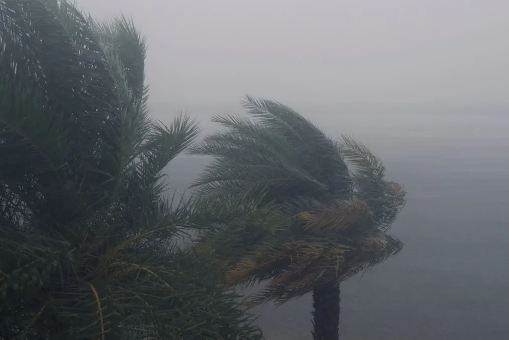
An unusual trio of hurricanes is advancing together across the Pacific Ocean, an event occurring amid warming waters caused by a historically intense El Niño, which establishes ideal conditions for the emergence of severe storms.
Tropical storm Marie intensified to become a hurricane, following in the wake of Karina and Lowell, both classified as Category 4. The coincidence of these three systems has sparked great interest among scientists.
Rarity of Tropical Cyclones
Observing three tropical cyclones at the same time in this geographical area is considered atypical. Julia Cole, a climate scientist from the University of Michigan, characterized this situation as rare, telling AFP that 'three tropical cyclones are definitely rare to see.'
Lowell moved westward, located approximately 725 kilometers (450 miles) south of Hilo, Hawaii. According to the U.S. National Hurricane Center (NHC), this system is expected to remain a major hurricane in the coming days. The NHC also issued warnings about dangerous return currents and potentially lethal waves in certain Hawaiian islands.
The archipelago was still recovering from the damage caused by Hurricane Lala, which hit the southern part of Grande Island in August, resulting in intense flash floods and destructive winds.
Meanwhile, Karina, which was losing some strength while moving northwest, is still expected to persist as a hurricane in the coming days. Further east, Marie was located about 610 kilometers (380 miles) southwest of the southern tip of Baja California. This system was generating waves in parts of the southwestern coast of Mexico and the Baja California peninsula, with potential to move into Southern California over the weekend.
The Role of El Niño Warming
The warming caused by El Niño is a crucial factor in this scenario. According to Cole, this phenomenon creates a favorable environment for such storms, as they are primarily fueled by warm ocean waters. Warmer waters inject energy into hurricanes, and simultaneously, El Niño reduces vertical wind shear over the Pacific, which facilitates the intensification of these storms.
The climate system has shown significant warming over the last twenty years or more. Benjamin Kirtman, an atmospheric scientist from the University of Miami, commented to AFP that the sea surface temperature anomaly, which measures the deviation of ocean temperature from the average, is already close to a historical record, stating: 'There is no other way to put it: it is very hot out there right now.'
The current situation recalls the year 2015, another period of intense El Niño, when four tropical cyclones crossed the Pacific concurrently.
Global Impacts of El Niño
This year's El Niño is already linked to extreme events in various regions of the globe, although its peak is forecast only between October and December. In Peru, the increase in sea temperature resulted in large losses in anchovy production. In Sudan, the phenomenon is cited as responsible for the delay of rains, leading to a sharp reduction in Nile River levels.
El Niño represents the warming phase of a natural cycle of the tropical Pacific called the El Niño-Southern Oscillation (ENSO), which repeats every two to seven years. It begins when the trade winds weaken, allowing warm waters accumulated in the western Pacific to migrate eastward and reach the surface.
Global warming has the potential to exacerbate these effects: a warmer atmosphere can retain a greater amount of moisture, favoring extreme rainfall, while soil drying intensifies droughts in areas where El Niño reduces precipitation.