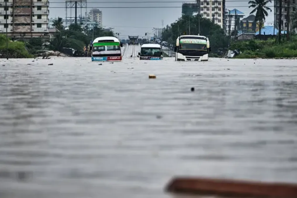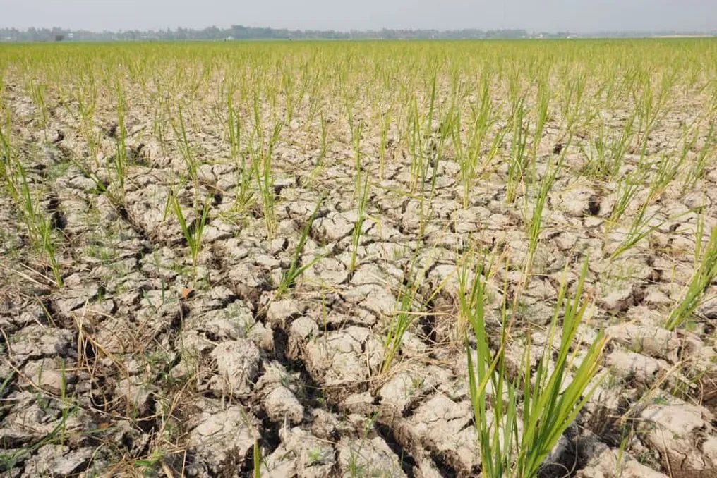
The World Meteorological Organization (WMO) warned that the El Niño phenomenon is already established and is expected to gain strength in the coming months, potentially reaching a very high intensity. This event has the potential to modify temperature and precipitation patterns, increasing the incidence of heatwaves, droughts, and floods.
Projections indicate a near 100% probability that this event will persist until February 2027. This forecast is based on the exceptional warming observed in the tropical Pacific, which already shows clear signs of a new intensification.
The water masses in the central and eastern equatorial Pacific, an area directly related to El Niño, are showing temperatures significantly higher than normal and continue to warm. The Niño 3.4 index recorded an average anomaly of 1.5°C between May and July 2026, reaching 2.0°C in July. Subsequently, between late July and mid-August, weekly records rose to a range between 2.2°C and 2.6°C above average.
This increase in heat is not limited to the surface; in some locations, the underlying water exceeded the normal average by more than 8°C during July and early August. The convergence of these indicators justifies the WMO's high confidence in its forecast.
El Niño is visibly expanding, and the scientific community states that the planet is entering unknown and warming waters. António Guterres, UN Secretary-General, commented on the scenario.
Climate Forecasts and Impacts
It is expected that El Niño will reach its peak this year, although its climatic effects may extend until 2027. A strong El Niño increases the chance of noticeable changes in atmospheric circulation, temperature, and rainfall. For the period of September to November 2026, WMO models predict a higher probability of above-average temperatures in practically all land areas.
Among the possible developments of this period, there are important caveats: the intensity of El Niño alone does not define the magnitude of impacts in all countries, as the region, time of year, and other climatic factors also influence the overall picture.
Despite this, the outlook raises concern. Celeste Saulo, WMO Secretary-General, stated: 'We are already seeing disturbances and devastation caused by droughts and floods, and we expect these impacts to increase as El Niño intensifies.'
The conditions in the Indian and Atlantic Oceans have the potential to modify the usual reaction to El Niño. For September to November, the forecast points to the emergence of a positive phase of the Indian Ocean Dipole, with a seasonal average of 0.9°C.
Influence of the Equatorial Atlantic
Additionally, the equatorial Atlantic is expected to remain warm, showing above-average temperatures in both northern and southern tropical regions. Such elements can reinforce, diminish, or alter the expected effects of El Niño.
Even though it is a natural phenomenon, El Niño has the capacity to affect the climate far beyond the borders of the tropical Pacific. It is precisely this influence in distant areas that makes advance forecasts crucial for managing periods of intense heat, drought, or heavy rains.
The current expectation is that the phenomenon will continue to gain strength until the end of the year. In the coming months, new projections should detail with greater accuracy how this intensification will manifest in various parts of the globe.