Uzbekistan has joined a number of countries that are implementing digital navigation that takes into account climatic conditions. A pedestrian routing system has been launched that considers not only distance and time but also the presence of shade and high temperatures.
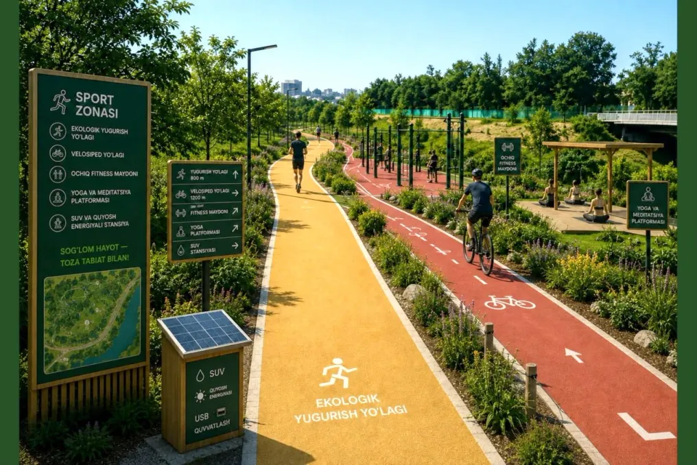
In August 2026, Yandex Maps launched the pilot feature 'green' route in Tashkent. This feature allows pedestrians to choose paths with wider tree canopy coverage, thereby reducing the impact of direct sunlight.
According to the international technology publication Techloy, Tashkent has become the first city in Central Asia and the Commonwealth of Independent States that has integrated shaded pedestrian routing into its main mapping service. Similar initiatives for adaptive navigation exist in the USA, Germany, and South Korea.
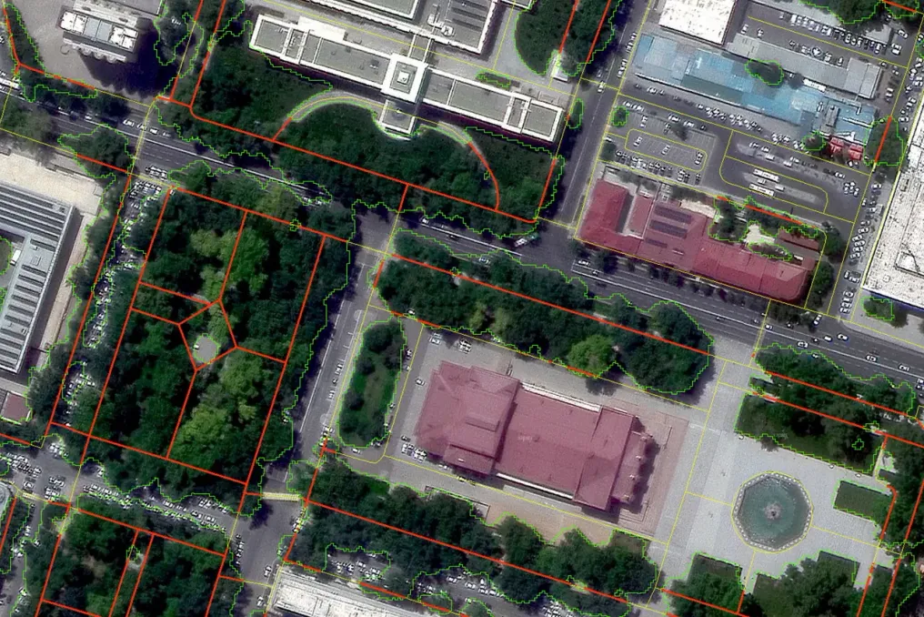
In Tashkent, where summer temperatures often exceed 35–40°C, shaded pedestrian corridors play a key role in urban mobility. The technology uses satellite image analysis and machine learning to map tree canopies through multispectral data, determining the proportion of pavement protected by vegetation.
The service algorithm classifies a road section as 'green' if the tree coverage reaches at least 60 percent. The system also calculates shadow distribution, continuous exposure to direct sunlight, and current air temperature values.
Processing satellite data enables the algorithm to continuously display and track large urban areas, transforming complex spatial data into understandable navigation options within the application.
Global interest in thermal adaptation technologies has grown against the backdrop of extreme weather trends. Data from the Copernicus Climate Service shows that in June-July 2026, the average temperature in Western Europe reached 21.62°C, which is approximately 2.8°C above normal, while in Spain, Portugal, and France, temperatures often exceeded 40°C.
Although digital mapping cannot replace urban forestry, including shade tracking provides a digital layer over existing infrastructure that can serve as a basis for future urban planning and climate adaptation strategies.