A new update from the World Meteorological Organization (WMO) warns that the El Niño phenomenon has consolidated and tends to intensify in the coming months, characterizing itself as a very strong event. This phenomenon will bring notable consequences to rainfall and temperature patterns, in addition to increasing the risks of droughts, floods, and extreme heatwaves.
The WMO also points out that the intensification may continue in the coming months, reaching a very high intensity before reaching its expected peak at the end of 2026. Furthermore, seasonal projections issued by WMO global centers indicate an exceptionally high probability, close to 100%, that El Niño will persist until February 2027.
António Guterres, UN Secretary-General, issued a warning about the worsening of El Niño, emphasizing that the world faces a 'high risk' situation due to extreme climate events. In a statement, Guterres stated: 'Science is unequivocal: the planet is entering unknown waters, and these waters are warming. Sea surface temperatures are reaching record levels, thermometers continue to rise, and we are in a high-risk zone where extreme climate events are becoming the new normal.'
The Secretary-General stressed the need for extraordinary response and preparation in the face of this exceptional El Niño event, declaring: 'There is no time to lose. A race against time is underway between growing risks and our determination to act against climate change and protect people. It is a race we must win.'
El Niño is a natural cycle that manifests every two to seven years. It occurs when the surface waters of the central and eastern equatorial Pacific begin to warm in the spring, causing major changes in wind, pressure, and precipitation patterns globally in the following months.
Sea surface temperatures in this region of the equatorial Pacific already significantly exceed the average and are rising. According to the WMO, between May and July 2026, the average was 1.5 degrees above normal, rising to two degrees in July, with readings between 2.2 and 2.6 degrees above average between late July and mid-August, which confirms the continuous strengthening of the phenomenon.
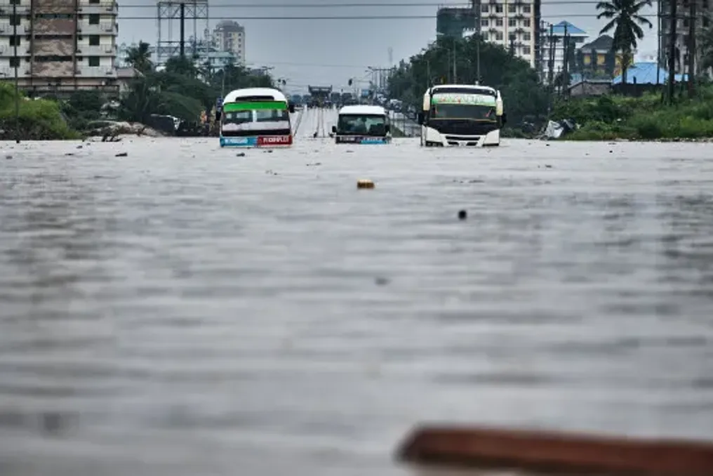
Beneath the ocean surface, temperatures registered increases of over 8 degrees above average in certain areas during July and early August. Although each El Niño occurrence is distinct, historically the phenomenon has caused or intensified droughts and fire risks in regions such as the Amazon, Central America, Indonesia, and Australia, interrupted the monsoon in India, and caused torrential rains in East Africa.
This natural event exacerbates climate change resulting from human actions, intensifying extreme weather events. For the period from September to November this year, WMO forecasts point to an increased chance of above-average temperatures in almost all continents, along with precipitation patterns consistent with an intense and classic atmospheric response of a strong El Niño in the Pacific.
Additionally, the heat accumulated in the ocean after El Niño is released into the atmosphere the following year, which generally contributes to the increase in global temperatures, leading many climate experts to predict that 2027 will be the hottest year ever recorded. The hottest year so far was 2024, following the last El Niño.