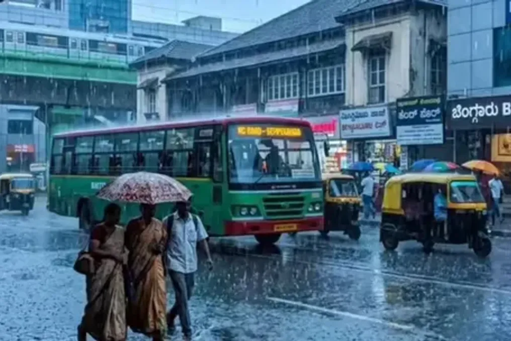
Indian Water Expert Shares Practical Tips for Bengaluru Residents on Rainwater Harvesting
Read more
The Better India
thebetterindia.com

Indian Water Expert Shares Practical Tips for Bengaluru Residents on Rainwater Harvesting

Although Bengaluru is known for its pleasant climate and comes alive during the monsoons, shortly after the rainy season, the city faces falling groundwater levels, drying wells, and increasing dependence on expensive water tankers.

The problem is not a lack of rainfall, but the city's inability to collect and retain the water received. A significant portion of the rain that falls on roofs and streets enters the storm drains and leaves the city, while widespread construction prevents water from seeping into the soil.

Subajit Mukherji, known as the 'Water Hero of India,' asserts that the solution lies in more localized measures. Through the RWH India Helpline, he has already provided free consultations to over 200 households on simple methods for rainwater harvesting and replenishing groundwater reserves. He emphasizes: 'Rain that falls on your roof should not end up on the road. Every roof must become a source of water.'

Turn Your Roof into a Water Source

One of the simplest ways to conserve rainwater is by collecting it from rooftops. Instead of letting the rain run into drains, homes can direct it through pipes into storage tanks or underground infiltration pits. The collected water can then be used for watering, cleaning, washing vehicles, or flushing toilets, thereby reducing the need for purified drinking water.

Even residential homes without space for large tanks can direct rainwater into infiltration pits, allowing it to slowly seep into the ground and replenish the aquifers that feed wells and boreholes. Mukherji calls this approach 'Mera Chhat, Mera Pani' (My Roof, My Water), urging every family to retain the rain falling on their own roof instead of sending it to the storm sewer.

Help Replenish the City's Groundwater Reserves

Bengaluru heavily relies on groundwater, but years of rapid urbanization have hindered the penetration of rainwater into the soil. Mukherji promotes a simple solution through the Jal Tara project, under which volunteers build infiltration pits approximately 3 by 3 feet and 4 feet deep. Rainwater from roofs is directed into these pits, allowing it to slowly filter underground instead of running down the streets.

He believes that Bengaluru needs to think on a larger scale. 'Ideally, there should be an infiltration pit every 100 meters in the city. This way, we prevent rainwater from becoming floodwater and help replenish groundwater.'

Simple infiltration pits or soak pits filled with layers of gravel and sand are relatively inexpensive and can significantly improve groundwater levels over time. Several areas in Bengaluru have reported improved well conditions after implementing soak pits over several monsoon seasons.

Let the Earth Breathe

Concrete is one of the main causes of rainwater loss. Driveways, courtyards, and gardens completely paved with cement leave no alternative outlet for rainwater except the drains. Mukherji notes: 'One of the most important things we can do is create more spaces with soil. We need to remove unnecessary concrete so the earth can absorb water again.'

Replacing hard surfaces with gravel, grass pavers, or permeable blocks allows rainwater to naturally seep into the soil. Even leaving small patches of open ground around houses can have a significant effect.

Schools Can Become Water Conservation Champions

Mukherji extends his message beyond individual homes. As part of the Jal Tara project, his team installs infiltration pits in schools and colleges across Bengaluru free of charge. They provide necessary materials, including filtration units, and hope to install systems in 100 schools.

The idea is simple: every school that collects rainwater becomes both a learning space and a demonstration site, inspiring students and communities to adopt similar solutions.

Create Greener Spaces That Absorb Rain

A small rain garden is another effective solution. These shallow, planted areas temporarily collect rainwater, allowing it to slowly soak into the ground instead of contributing to flooding. In addition to reducing surface runoff, rain gardens support butterflies, birds, and beneficial insects.

Planting native trees can also have an equally long-term impact. Their deep roots improve soil structure, reduce runoff, and naturally replenish groundwater.

Let Every Drop Matter

Rainwater does not always need to be stored for drinking. Simple rainwater collection barrels connected to roof pipes can collect water for watering plants, washing balconies, or cleaning open areas.

Before each monsoon season, households should also clean gutters and downpipes so that rainwater harvesting systems function effectively and the stored water remains clean.

Small Actions, Big Impact

While individual efforts are important, housing complexes and resident associations can multiply the impact by installing community rainwater harvesting systems, soak pits, and common storage tanks. If thousands of homes across Bengaluru collected even a portion of the rain falling on their roofs annually, the city could reduce the strain on groundwater by using water that currently contributes to flooding.

For Mukherji, the answer is not complicated. 'We must stop rainwater from reaching the main road first,' he says. Bengaluru's water crisis is not just about a lack of rain, but about ensuring that every drop matters.

This monsoon season serves as a reminder that every roof can become a reservoir, every garden can help replenish the earth, and every household has the opportunity to turn today's rain into tomorrow's water security. Those interested in learning more about rainwater harvesting or volunteering can contact Mukherji at waterheroofindia@gmail.com, where he offers guidance on simple, low-cost ways to save rainwater.
Similar stories

Flooding in Nepal affects Kailash Mansarovar pilgrimage; tourists missing
Read more
www.aajtak.in

Flooding in Nepal affects Kailash Mansarovar pilgrimage; tourists missing

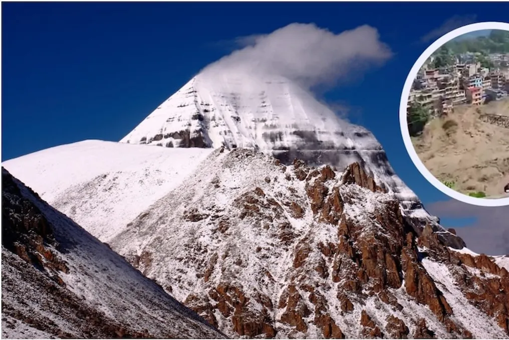
A severe flash flood occurred in the Rasuwa area of Nepal, causing significant destruction and the disappearance of 400 people, including 133 Indian citizens. According to Kathmandu Post, approximately 400 pilgrims heading to the Kailash Mansarovar pilgrimage lost contact after the sudden flooding in Rasuwagharhi. This event also affected the key Rasuwagharhi-Kerung corridor, which is used for transit between Nepal and China on the way to Kailash Mansarovar.

It was planned that 390 pilgrims would cross the border on Wednesday, including 93 Nepalis and people from various countries. These pilgrims are clients of various travel agencies. Among them were 71 clients of Samrat Tours and Travels, 55 clients of Leaf Holidays, 17 clients of Kathmandu Holidays, 31 clients of Kailash Journey, 7 clients of Explore Vacation, 92 clients of Trekkers Society, 12 clients of Richa Tours, 27 clients of Fishtail Tour and Travels, 62 clients of Himalayan Glacier, and 16 clients of Alpine Eco Trek.

There are three main routes for the Kailash Mansarovar trip from India. Two of these, passing through Pitorgarh in Uttarakhand and the Natu La pass in Sikkim, are organized by the Government of India. However, there is another route passing through Nepal, which people take with the help of travel agents.

It is important to note that various tour operators in Nepal also organize trips to Kailash Mansarovar via different routes. One of the routes originating from Nepal differs from the official Kailash Mansarovar trip organized by the Government of India. Typically, private tour operators transport tourists to Tibet via the Rasuwagharhi-Kerung route, which includes Kathmandu-Syafrubeshi-Timur-Rasuwagharhi-Kerung/Gyerong-Saga-Mansarovar-Darchan-Kailash. The border between Nepal and Tibet is crossed at this location.

Another route is the Hills-Yari route. The second major path to Kailash from Nepal passes through western Nepal. This route includes Kathmandu-Nepalganj-Simikot-Hilsa-Yari Border-Purang/Taklakot-Mansarovar-Darchan-Kailash. An initial domestic flight within Nepal is taken to Nepalganj and Simikot, followed by a helicopter ride to Hilsa, where the border between Nepal and Tibet is crossed, entering the Tibetan region of China.

The flooding of the Bhotekoshi River has impacted the Kailash Mansarovar pilgrimage, particularly the first route—Rasuwagharhi-Kerung. The sudden rush of water affected the border area, including Syafrubeshi and Timur. Roads and bridges were damaged, which may disrupt cross-border movement through Rasuwagharhi. Consequently, the route people were traveling along was severely affected.

The journey is considered one of the most dangerous due to the altitude, reaching from 14,000 to 19,500 feet above sea level, complex trails, and adverse weather conditions. At such an altitude, the oxygen content in the air is extremely low, causing breathing difficulties, headaches, and dizziness (altitude sickness). Furthermore, the external pilgrimage trek around Mount Kailash is about 52 kilometers long and takes three days of walking. The trail consists of rocky, uneven, and steep terrain, placing a heavy strain on joints and legs.

Midway along the journey is Dolma La Pass, crossing which is the most challenging part. It involves a completely straight and snowy ascent, accompanied by extremely low temperatures and rapid energy depletion. Moreover, the weather changes every minute here: strong cold winds, snowfall, and sharp drops in temperature below zero create difficulties for pilgrims.

Currently, 22 people have died as a result of the flooding in Nepal. Prime Minister Narendra Modi spoke by phone with the Prime Minister of Nepal, Balen Shah, expressing condolences over the human casualties from the floods in Nepal. Prime Minister Modi also assured Nepal of any possible humanitarian aid and assistance in disaster relief. Following the devastation caused by the severe flooding of the Bhotekoshi River in Nepal, India is preparing to send urgent necessities to those affected.

Disputes over water rights in Farakka: Impact on Bangladesh, Bengal ports, and Bihar rivers
Read more
www.aajtak.in

Disputes over water rights in Farakka: Impact on Bangladesh, Bengal ports, and Bihar rivers

The Hilsa fish, which used to make a long journey from the Ganges estuary near Allahabad to the Yamuna in Agra, was common until 1975. This was documented according to numerous reports from the Central Institute of Fisheries Research. However, after the construction of a dam on the Ganges River in Bengal in 1975, this migratory route of the Hilsa was permanently cut off.

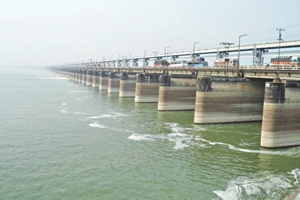
This dam, known as the Farakka Barrage, is a major structure on the Ganges River in West Bengal, located in Murshidabad district, just 16–18 kilometers from the border with Bangladesh. The barrage is about 2.25 kilometers long and equipped with 109 gates.

The reason for building this structure was the excessive accumulation of silt in the Hooghly River, which led to shallow waters and hindered large vessels from approaching the ports. Experts proposed diverting some water from the Ganges into the Hooghly to flush out the silt and maintain port operations. A similar proposal was put forward by British engineer Sir Arthur Cotton back in 1853, who recommended building a barrage near Farakka to divert water into the Hooghly, but it was not implemented at that time.

To understand the Farakka Barrage, one must examine the flow of the Ganges in Bengal. The river, which flows through Bihar and Jharkhand, enters West Bengal in Malda district, where it is called the Ganga. It then reaches Farakka, where the barrage controls its flow. Near the barrage, the Ganga splits into two branches.

The right branch remains in India (West Bengal) and is called the Bagirathi, later turning into the Hooghly River. Important areas such as Kolkata and Haldia are located along this branch, and it is for this branch that the Farakka Barrage was built. Water from the Ganges is diverted into the Hooghly via a feeder canal 38–42 kilometers long to prevent the silting up of the Kolkata port. The left branch flows into Bangladesh, where it is called the Padma.

When water was diverted into the Hooghly, the water level in Bangladesh decreased. During the dry season, water scarcity arose in Bangladesh, negatively affecting agriculture, fisheries, and drinking water supply. This led to prolonged disputes between India and Bangladesh. Bangladesh argued that the reduced water levels during the dry season damaged their agriculture, fisheries, and environment. As a result of these disagreements, temporary agreements were concluded in the 1970s and 1980s.

A breakthrough in the issue between India and Bangladesh occurred in 1996 with the signing of the Farakka Water Agreement, also known as the 'Ganges Water Sharing Treaty.'

The Farakka Water Agreement regulates the distribution of Ganges River water between India and Bangladesh. This treaty was signed on December 12, 1996, in New Delhi by the then Prime Ministers H.D. Deve Gowda and Sheikh Hasina, and it is valid for 30 years, expiring in December 2026. Although water availability issues do not arise during the monsoon season, the agreement primarily defines the division of water available at the Farakka Barrage during the dry period (from January 1 to May 31).

The water distribution formula is as follows: if 70,000 cusecs or less are available at the Farakka Barrage, both countries receive an equal share of water. With a volume between 70,000 and 75,000 cusecs, Bangladesh receives 35,000 cusecs, and the remainder goes to India. If the volume is 75,000 cusecs or more, India is allocated 40,000 cusecs, and the rest goes to Bangladesh. Additionally, from March to May, both countries are guaranteed 35,000 cusecs of water alternately. Water monitoring is carried out by a joint committee.

For a long time, this agreement functioned satisfactorily between India and Bangladesh. However, after a change in power in Bangladesh, the country's stance has changed, and Bangladesh now demands more water. Bangladesh adopts a confrontational position and intends to raise this issue in the United Nations. Bangladesh argues that at the time the agreement was signed, the population of Bangladesh was smaller, the climatic balance was different, and the environmental situation was more positive than it is today. Today, the situation is vastly different due to climate change, irregular rainfall, and drought, which has increased uncertainty in the river's flow.

Bangladesh's Minister of Water Resources, Shahidur Rahman Chowdhury Ani, stated that in the new agreement, he will demand a 'guarantee clause.' A guarantee clause is a condition that obligates the downstream country to provide a minimally defined volume of water. The minister added that they want to conclude a treaty, but if necessary...

3.

Popular