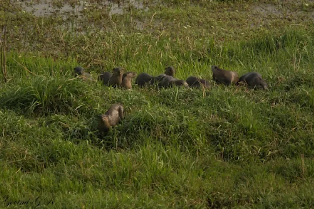
The smooth-coated otter (Lutrogale perspicillata) plays a vital role in maintaining the health of freshwater along the winding rivers of North India, acting as an apex predator in aquatic ecosystems. These graceful and playful mammals help maintain the balance of fish populations and serve as living indicators of water purity and thriving biodiversity. However, the expansion of human settlements, the construction of dams disrupting natural flow, and the pollution of waterways have led to otters disappearing from extensive historical habitats.
A team of researchers led by Syed Ainul Hussain and Ruchi Badola conducted extensive surveys using boats between 2018 and 2024. They traversed approximately 7680 kilometers of rivers across 22 major tributaries, including the main channels of the Ganges, Yamuna, Chambal, and Koshi. During the work, the team recorded direct sightings, tracks, burrows, and otter excrement. By combining field data with historical information, they added 267 confirmed sighting points to an ensemble modeling system that integrated six different predictive algorithms.
Computer models analyzed 26 variables related to the environment, climate, and human activity to determine where otters can still thrive. The results were striking: out of more than 800,000 square kilometers assessed in the Ganges River basin in India, only 2138 square kilometers, accounting for approximately 0.26%, were deemed highly suitable habitat. Another 13,300 square kilometers (1.65%) were classified as moderately suitable, while the vast majority of the basin was considered largely unsuitable for the stable existence of otter populations.
The study showed that otter survival critically depends on two main geographical factors: proximity to established protected areas (such as tiger reserves and wildlife sanctuaries) and distance from natural river courses. Habitat suitability sharply decreases if the location is further than 2.5 kilometers from the river course or outside a 1-kilometer radius of a protected area boundary. Sanctuaries provide undisturbed, overgrown banks necessary for resting, grooming, and breeding, free from heavy human interference.
Climatic stability and water resource resilience were also decisive factors for survival. Otters require environments with stable surface water, measured by high Normalized Difference Water Index (NDWI) values, especially during dry seasons when small streams diminish. They also prefer areas with low daily temperature fluctuations, as sharp changes in day and night temperatures cause serious physiological stress to animals dependent on water for thermoregulation.
Uttarakhand demonstrated the highest proportion of optimal habitats (2.43% of the assessed basin area), followed by Uttar Pradesh (0.21%) and Himachal Pradesh (0.33%). Left-bank tributaries flowing through the Terai region, which are near protected refuges such as Rajaji National Park, Corbett Tiger Reserve, Dudhwa Tiger Reserve, and Valmiki Tiger Reserve, constitute the absolute core of the remaining otter landscape. Conversely, densely built-up or heavily modified areas in West Bengal, Chhattisgarh, and Delhi had no highly suitable habitats.
Interestingly, artificial water storage structures, such as the Gandhi Sagar and Rana Pratap Sagar dams on the Chambal River, as well as various spillways on the Yamuna and Ramganga, showed high habitat suitability. These reservoirs often provide deep, permanent, fish-rich bodies of water, offering unexpected refuges with limited human access.
This research significantly advances regional ecological investigations by moving beyond opportunistic records of single sightings and models based on one algorithm, which often yield biased or overfitted results. By integrating six independent models into a single ensemble structure, the researchers achieved high predictive accuracy (AUC 0.91) when analyzing 7680 kilometers of river systems.
Nevertheless, the study has notable limitations. The modeling was based on presence data but did not explicitly account for seasonal detection probabilities. Large-scale satellite environmental predictors failed to capture subtle habitat nuances, such as local changes in prey biomass or sudden water release patterns from upstream dams.
In the context of the densely populated Gangetic plains of North India, these findings highlight a critical policy gap. Approximately 21% of all suitable otter habitats are located entirely outside protected natural areas. In these unprotected corridors, otters face serious threats from illegal sand mining, riparian agriculture, destructive fishing nets, and industrial effluents.
Identifying these ecological hotspots provides concrete spatial data for policymakers, urban planners, and conservation managers in South Asia. Instead of attempting broad, untargeted conservation efforts across thousands of miles, authorities can focus resources directly on the 0.26% of river sections with high suitability. Protecting these key aquatic zones directly benefits human communities by preserving freshwater health, supporting clean water supply systems, and safeguarding fish populations. Furthermore, engaging local communities through riparian management and conflict mitigation programs creates sustainable coexistence models for people dependent on the rivers.