South Africa: Places Where the Landscape Dictates the Pace of Travel
Read more
Getaway
getaway.co.za

South Africa: Places Where the Landscape Dictates the Pace of Travel

There are places visited according to a pre-planned itinerary, and others that quietly urge one to abandon that plan. In some corners of South Africa, the road stretches longer than expected, mountains demand slower driving, and the nearest town is so small that an afternoon can dissolve over a cup of coffee. Here, the main goal is not to see everything, but to notice where you are.

These destinations have the ability to persuade through their landscape. Karoo invites you to stop and examine the surroundings. The Cederberg rewards wandering. The Wild Coast sets the rhythm with its tides. In Waterberg, the best way to experience the bushveld is by walking, and the Golden Gate Mountains turn even a short drive into a true journey.

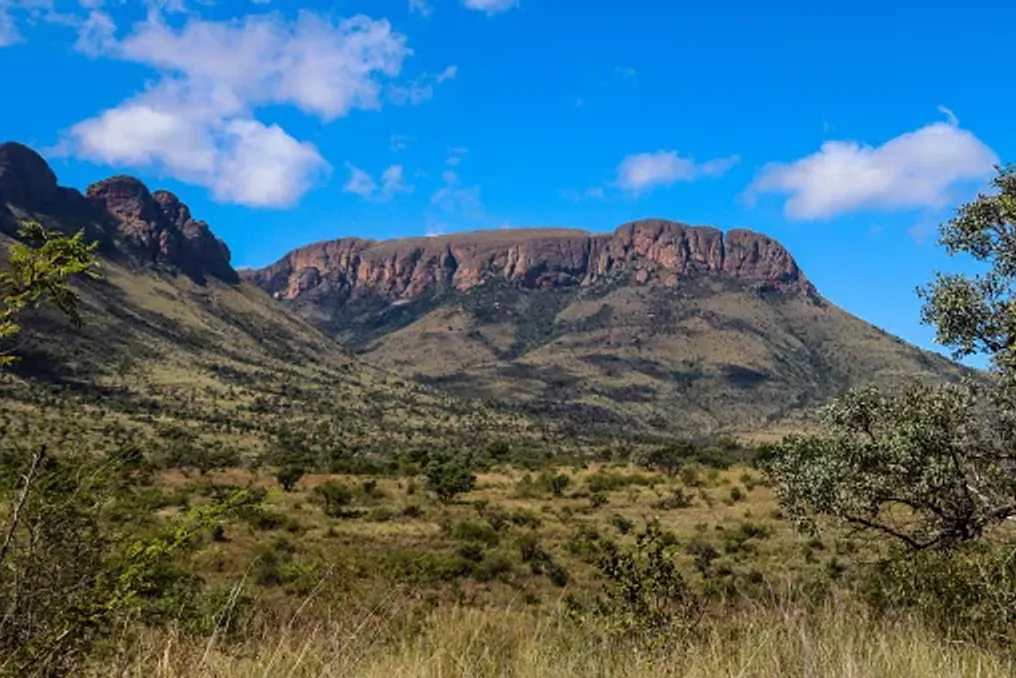
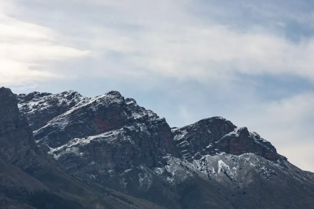
This is not about inactivity, but about doing less, but better. Just a few hours' drive from Cape Town, the Cederberg feels much more remote. The mountains here become harsher, the roads quieter, and the landscape wilder. It is a place where you can leave your phone for half a day and realize you haven't thought about it at all.

The history of the Cederberg extends far beyond its modern image as a destination for hiking and adventure. The mountains hold millennia of human history, including over 2500 sites of ancient rock art recorded in the region. Missionary settlements, such as Wuppertal, Huningvlei, and Elandskloof, add another layer to the area's history, alongside remnants of colonial and Anglo-Boer pasts.

It is best to get to know this history unhurriedly. Follow the trail to the ancient rock art, stopping to observe rather than just driving past. You can hike to the Wolfberg Arch or the Maltese Cross, swim in a mountain pool, or spend a day exploring the region's small settlements. The official tourism body of the Cederberg also emphasizes bird watching, climbing, and bouldering in Rocklands, as well as the region's mountain landscapes and its coastal extensions in Lambert's Bay and Elandsbay.

However, you don't have to fill the entire day. Sitting outdoors in the Cederberg while the mountains change color at sunset can be a self-sufficient activity. The landscape is dramatic enough on its own to not require constant entertainment.

Similar stories

Natural Wonders of South Africa: From Ancient Mountains to Wild Coasts
Read more
getaway.co.za

Natural Wonders of South Africa: From Ancient Mountains to Wild Coasts

South Africa is a country where one can observe an incredible diversity of landscapes: standing over a canyon in the morning, walking through an ancient forest during the day, and swimming over a coral reef a few days later. These landscapes are not only picturesque but also hold some of the oldest stories on Earth.

From mountains formed billions of years ago to wetlands where whales, turtles, and hippos inhabit one coast, South Africa offers numerous outstanding natural wonders.

Cape Town cannot be imagined without Table Mountain. This flat-topped mountain rises above the city and the Cape Peninsula, being much more than just a famous backdrop. It is part of the Cape Floral Region protected areas, which is recognized as a UNESCO World Heritage site due to the exceptional concentration of endemic plant species.

Table Mountain has been part of the human landscape for millennia. Archaeological findings indicate human presence dating back 30,000 years, and the name Khoi Khoeriekaggo translates to 'Mountain in the Sea'. Table Mountain was declared a national monument in 1958, then a nature reserve in 1964, and the Cape Peninsula National Park was established in 1998, after which it was renamed Table Mountain National Park in 2003.

Why Visit Table Mountain

Visitors can hike up the mountain, explore the fynbos, enjoy views from the summit, or travel further south through the national park to the Cape Point. The park also offers opportunities for cycling, rock climbing, paragliding, bird watching, snorkeling, and whale watching.

Blyde River Canyon is one of those landscapes that makes you stop and think. It is carved into the Drakensberg plateau and stretches across a dramatic landscape composed of cliffs, forested slopes, and the Blyde Dam. The Blyde River Canyon Nature Reserve is part of the Route Panorama and covers about 29,000 hectares. The tourism company South African Tourism calls it the third largest canyon in the world, and the combination of lush vegetation and open red sandstone makes it one of the most characteristic geological landscapes in the country.

The wider Route Panorama connects several famous tourist and geological sites in the Mpumalanga province, including God's Window, Bourke's Luck Potholes, and Three Rondavels.

Tips for Visiting Blyde River Canyon

It is recommended to move slowly along the scenic route, stopping at viewpoints, studying the geological formations, and hiking in the reserve if the trails are open. This landscape is particularly attractive to photographers, especially when fog descends over the plateau.

Few places demonstrate the ecological diversity of South Africa as vividly as iSimangaliso. Located along the KwaZulu-Natal coast, this World Heritage site combines beaches, coral reefs, coastal dunes, freshwater lakes, wetlands, mangrove swamps, grasslands, and savannas.

The park was included in the UNESCO World Heritage list in 1999, and in 2025, its World Heritage boundaries were significantly expanded within the iSimangaliso Wetland Park – Maputo National Park transnational park.

The importance of this place is not limited to its beauty. iSimangaliso hosts over 6,500 species of plants and animals, including nesting loggerhead and leatherback turtles, dolphins, migrating whales, and whale sharks.

How Best to Explore iSimangaliso

This destination allows visitors to see several ecosystems in one trip. One can go on safari, explore the wetlands, spend time at Lake St Lucia, or head to the coast for marine activities. Depending on the season and location, one might encounter hippos, crocodiles, turtles, whales, and a huge variety of birds.

The Drakensberg impresses with its grandeur, which is difficult to capture in photographs. Its basalt cliffs, golden sandstone formations, high-altitude grasslands, and deep river valleys are part of the transboundary Maloti-Drakensberg World Heritage Site, which extends into Lesotho. However, the mountains also carry a historical layer. San communities lived here for over 4,000 years, leaving thousands of images of rock art in caves and rock shelters. UNESCO recognizes this area as containing the largest and most concentrated group of rock paintings in Southern Africa.

The mountains are also important for biodiversity, as they host many endemic plant species and endangered birds such as the Cape and Bearded Vultures.

Recommendations for Visiting the Drakensberg

The Drakensberg is best experienced on foot, whether you are looking for a short mountain hike, a multi-day trek, or a tour to rock art sites. It is also worth taking time just to sit and observe the landscape, as the scale of the landscape is part of the experience.

In the dry landscape of the Northern Cape, the Orange River suddenly plunges into a granite canyon near the Augrabies Falls. The main waterfall drops 56 meters into the canyon, and the surrounding national park protects the stunning landscape of granite formations, arid vegetation, and quiver trees.

The park was created in 1966 initially to preserve the geological landscape around the waterfall. The name Augrabies comes from the Nama word 'Aukoerebis', meaning 'place of great noise', which fits the description of the Orange River flowing strongly.

There is also a complex history associated with the surrounding area. In 1973, communities living in Riemvasmaak were forcibly relocated under apartheid, and parts of this territory were later incorporated into the national park.

How to Explore Augrabies Falls

One can start the tour from the waterfall viewpoints and then delve deeper into the park. Scenic roads lead to places like Moon Rock and Ararat, while hiking options include short routes and the multi-day Klipspringer trek. Stargazing is also one reason to stay overnight due to the clear sky and limited light pollution in the area.

Where local forest meets rugged coast, Tsitsikamma feels almost prehistoric. The name comes from the Khoisan word meaning 'place of much water', and the landscape justifies this name, offering forests, fynbos, deep river gorges, and open coastline.

The Tsitsikamma Coastal and Forest National Parks were established in 1964, creating what SANParks describes as Africa's first marine national park. Today, the Tsitsikamma section is part of Garden Route National Park and protects about 80 km of rocky coastline, as well as important marine and forest habitats.

This area also has a deep human history, including Khoisan cultural sites, caves, shell middens, rock art, and later evidence of forestry and fishing industries.

What to Do in Tsitsikamma

One can walk the famous Mouth Trail to the Storms River suspension bridge, take a boat trip through the gorge, or complete the five-day Otter Trail trek of 42 km along the coast. Kayaking, wild swimming, snorkeling, and other water adventures are also available.

Some natural wonders impress with what they allow you to see, while others impress with what they tell us. The Barberton Makhonjwa Mountains belong to the latter category. These mountains contain some of the oldest and best-preserved volcanic and sedimentary rocks on Earth, dating back 3.6 to 3.25 billion years. These rocks provide evidence of early Earth conditions, including ancient oceans, volcanism, meteorite impacts, and continental formation processes.

The site was added to the UNESCO World Heritage List in 2018. Its geological record spans approximately 340 million years of early Earth history, allowing visitors to glimpse times long before dinosaurs, forests, or even complex life.

How to Explore the Barberton Makhonjwa Mountains

Visitors can follow the Barberton Makhonjwa Geotrail through the mountains, stopping at geological viewpoints. This is a particularly good place for those who prefer landscapes with additional context, as the stones underfoot tell a story.

The history of South Africa becomes even grander at Cradle of Humankind, where a meteorite impact over two billion years ago left behind the oldest, largest, and most deeply eroded known complex structure of a meteorite impact in the world. The impact occurred about 2.023 billion years ago. The resulting structure originally extended much further than the landscape visible today, but erosion over billions of years has exposed the geological layers beneath the original crater. UNESCO describes Cradle of Humankind as the only known example providing a complete geological profile of an astrobleme beneath the crater floor.

Exploring Cradle of Humankind

It is best to explore the Cradle of Humankind area at a slow pace, utilizing geological sites, scenic drives, outdoor activities, and the surrounding Vaal River landscape. The focus here is less on finding one dramatic view and more on understanding the extraordinary scale of what happened in this place.

The charm of South Africa's natural wonders is that there is no single definition of what makes a place exceptional. A mountain can be wonderful because it supports an entire floral kingdom. A wetland can be valuable because whales, turtles, birds, and freshwater ecosystems coexist. A waterfall can carry geological and cultural history, and a simple rock formation can preserve evidence from billions of years ago. This is what makes traveling through South Africa such a rewarding experience. You need to look beyond the photograph, and a much larger story usually awaits.
Underrated Mountain Ranges of South Africa Offering Unique Biodiversity
Read more
getaway.co.za

Underrated Mountain Ranges of South Africa Offering Unique Biodiversity

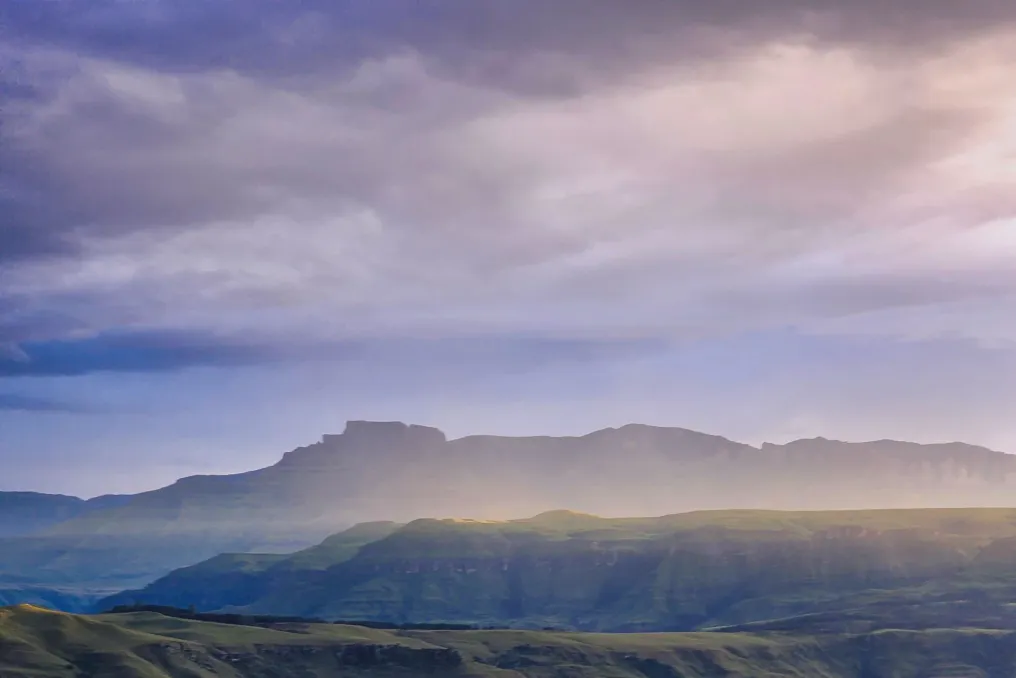
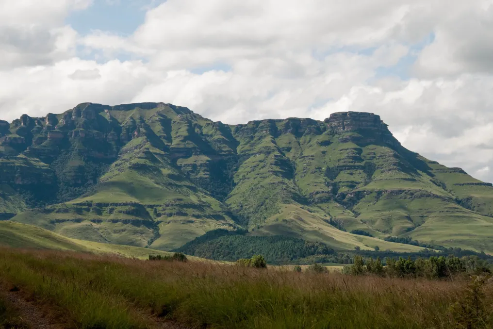
Although the Table Mountain and Drakensberg are considered the most famous landscapes of South Africa, they are only part of the bigger picture. Across the country, mountain ranges arise in very diverse conditions: from subtropical forests and grasslands in Limpopo and the Eastern Cape to fynbos-covered ranges in the Western Cape and arid peaks in the Namakwa region. Some of these areas are biodiversity hotspots, others serve as important catchments, and many are home to plants and animals found almost nowhere else.

These mountains may not have the international recognition of Table Mountain or Drakensberg, but they offer numerous reasons to travel.

Located in the northern part of Limpopo, Soutpansberg is one of South Africa's most interesting and easily overlooked mountain ranges. Its east-to-west orientation distinguishes it from many of the country's major mountain systems. Furthermore, the combination of altitude and diverse climate creates a striking mix of habitats. Studies have recorded 2,500–3,000 species of local vascular plants here, confirming its significance as a center of plant diversity and endemism.

As you move through the mountains, the landscape changes: forests give way to scrubland, plantations, and grasslands, while higher altitudes feature vegetation resembling fynbos. This means that one day in Soutpansberg can feel like several different interconnected landscapes.

This region is also attractive to bird lovers, as the wider Soutpansberg-Limpopo area supports a dedicated birdwatching route aimed at promoting tourism, nature conservation, and community-level economic opportunities. The mountains are suitable for hiking, birdwatching, mountain biking, wildlife viewing, and slow drives. Areas like Louis Trichardt are convenient bases, and reserves in this range offer the chance to enjoy the mountains without sacrificing comfort.

For an unconventional mountain getaway, Soutpansberg also combines natural beauty with deep human history, including ancient rock art sites. This mountain range is worth visiting if you value biodiversity as much as elevation.

The Amatole Mountains possess a completely different character. In the Eastern Cape, this range rises above valleys and settlements in a landscape composed of indigenous forests, grasslands, waterfalls, and rugged peaks. Some of its mountains reach over 2,000 meters, and snow can fall on higher sections in winter.

The biodiversity here is equally impressive. BirdLife South Africa records 442 plant species in the Amatole Mountains area, featuring local wet and dry forests on the slopes, as well as montane and cloud grasslands at higher elevations. These mountains are particularly attractive to ornithologists; among the species associated with this area are Cape parrots, orange ground-foragers, Knysna thrushes, black cap, and Drakensberg rock jumpers.

Hogsback is one of the most famous entry points into the mountain landscape, offering short walks through local forests to waterfalls, while more ambitious tourists can undertake longer mountain trails. The Amatole Hiking Trail is a serious option: approximately a six-day trek spanning about 100 km through forests, ridges, streams, and mountain scenery.

However, you don't have to plan for six days. The surrounding areas of Hogsback and Stutterheim offer shorter walks and birdwatching opportunities, making Amatole accessible to travelers who wish to spend only a few days in the mountains. The region also has significant cultural heritage, including connections to the Xhosa people and King Sandile, adding another layer to the naturally rich landscape.

Vitteberg is a mountain range whose uniqueness can easily be missed while driving past it. Located south of Matiesfontein, this range rises from the dry landscapes of the Little Karoo, creating a sharp contrast between the surrounding semi-arid environment and the vegetation found higher up. Among its botanical treasures is the Vitteberg sunbush, a South African endemic restricted to the Vitteberg range. It grows on rocky quartzite ridges in dry mountain fynbos at an altitude of about 1,500 meters.

Vitteberg is fascinating because, although the landscape may look unmistakably like the Karoo from a distance, a completely different botanical world opens up at higher altitudes. The appeal of Vitteberg lies in the combination of geology, seclusion, unusual vegetation, and the vast Karoo sky. It is especially well-suited for a road trip through the Karoo, where the mountains become another reason to slow down rather than just a destination to conquer. Binoculars, sturdy walking shoes, and sufficient time are recommended. This landscape is best experienced at a slow pace.

Langeberg deserves much more attention from travelers passing through the Western Cape. Stretching across the Southern Cape, this range forms a dramatic transition between wetter landscapes in the south and the much drier Little Karoo in the north. Its slopes support mountain fynbos, while pockets of Afro-temperate forest remain in sheltered valleys. The difference can be striking: one side of the range might be lush and densely vegetated, while the landscape on the northern slopes becomes noticeably drier.

Botanical diversity is also a reason to visit. Langeberg contains numerous plant species endemic to this region, including species found only in specific high-altitude habitats. Some of these are threatened by factors such as unsuitable fire regimes and invasive alien plants. Langeberg is easily accessible from towns like Stellenbosch and Riverdale, while areas such as Bosmansbos offer a more remote wilderness experience. Hikers can expect sandy peaks, fynbos-covered slopes, streams, forests, and expansive views of the Southern Cape.

It is also a useful mountain range for birdwatchers. Langeberg supports Cape fynbos species alongside birds associated with its forested areas, while the northern foothills gradually transition into the Little Karoo habitat. For those wishing to combine mountain recreation with historic towns, farm stays, and road trips through the Southern Cape, Langeberg is an excellent base.

Kamiesberg proves that mountains do not need dense forests or towering cliffs to be impressive. Rising above the Namakwa, these granite mountains are part of the Succulent Karoo and contain an exceptional concentration of plant diversity. SANParks describes this range as an endemism hotspot, hosting at least 22 endemic taxa. The four highest peaks exceed 1,500 meters, and Ruiberg reaches about 1,700 meters. The rocky upper slopes provide habitat for plants found nowhere else. Some of these species are exceptionally localized. For example, the Kamiesberg sugarbush is restricted to these mountains and classified as critically endangered, with fire frequency being identified as a serious threat to its survival.

Kamiesberg is particularly appealing during the Namakwa bloom. After sufficient winter rains, the surrounding landscapes can burst into color as annuals and bulbs emerge from seemingly barren ground. Namakwa contains about 3,500 plant species, over 1,000 of which are regional endemics. The mountains add another dimension to the blooming experience. Instead of viewing Namakwa merely as a carpet of flowers on open plains, travelers can explore the granite hills and high-altitude vegetation where many specialized regional plants thrive. This is a mountain country for botanists, photographers, and long-distance road trippers.

Waterberg may be the best example of how South Africa's mountain landscapes do not always fit the mold of a hiking destination. In the Limpopo Bushveld, Waterberg presents a landscape of low mountains, escarpments, valleys, and savanna. It also functions as a major catchment area, from which rivers flow into the region, including the Lefalala, Mokolo, Matlabas, and Mogalakwena. The wider Waterberg Biosphere Reserve includes over 5,500 plant species and several different vegetation types, and its mountains and valleys support various threatened and rare species.

Furthermore, Waterberg offers something other mountains on this list may not emphasize: mountain safaris. Reserves and protected areas allow visitors to observe wildlife among sandy formations, wooded valleys, and elevated landscapes, rather than on the flat savanna often associated with safaris. The region also holds great historical and cultural significance. UNESCO notes that Waterberg has been inhabited for hundreds of thousands of years and contains some of the important San rock art in South Africa. For travelers wishing to combine several days of wildlife viewing, scenery, hiking, and comfortable bush accommodation, Waterberg is an easy mountain alternative to the country's more famous ranges.

In conclusion, the mountains of South Africa do not represent a single landscape. Soutpansberg is a convergence point of diverse habitats in the far north. Amatole unites forests, grasslands, and waterfalls. Vitteberg unexpectedly rises from the Karoo. Langeberg marks the meeting point of fynbos and Little Karoo. Kamiesberg hosts a remarkable concentration of endemic plants, while Waterberg combines mountains with some of the best wildlife experiences in Limpopo. Together, they tell a larger story about the country's geography. Mountain ranges are not just picturesque backdrops. They serve as water catchments, support specialized ecosystems, and create refuges for plants and animals that cannot survive elsewhere. SANBI has highlighted the importance of South Africa's mountain systems for water supply and biodiversity, with many mountain areas partially protected due to their role as catchments. So next time you plan a mountain getaway, look beyond the obvious names.

Late winter in South Africa offers unique travel opportunities across various regions
Read more
getaway.co.za

Late winter in South Africa offers unique travel opportunities across various regions

Although winter may be drawing to a close, South Africa retains its winter charms, offering optimal travel conditions in certain areas. Field flowers begin to bloom in the Northern and Western Cape, southern whales gather along the coast, and the dry bushveld facilitates wildlife viewing. Furthermore, cool mornings and even snow can still be found in the mountains.

By August, the Namakwa region begins its annual transformation. What appears as a dry, dusty landscape for most of the year suddenly becomes covered in a carpet of flowers after winter rains.

Namakwa National Park is part of the Succulent Karoo biome and is known for its exceptional plant diversity, including over a thousand species found nowhere else in the world. SANParks reported the first blooms of the 2026 season in late July, with the peak expected between mid-August and mid-September, depending on the weather.

The best way to enjoy this spectacle is to take it slow: one can take a circular flower tour, stop at viewpoints, or walk the trails of Skilpad and Korhan. Photographers are particularly successful on sunny days, as many flowers fully open up at temperatures around 18°C. The park is dedicated not only to natural beauty but also to preserving an important part of the Succulent Karoo, allowing visitors to see the dramatically changing landscape according to the season.

Why visit now

The blooming period is fleeting, and the 2026 display has already begun. To have the best chance of seeing the Namakwa region in its brightest form, it should be visited in the coming weeks.

The West Coast is another place where winter quietly gives way to spring. From August to September, the sandy plains and fynbos of the park blossom, with especially impressive views observed around Postberg and Sikberg/Muimaak. For 2026, the Postberg section opened on August 1st and remains open until September 30th, providing a limited window to explore this zone, accessible only during the flowering season.

Do not rush: spend a day driving through Postberg, taking photographs, and watching animals move among the flowers. The park also features beaches, lagoon views, birdwatching spots, and hiking trails, making it easy to turn a flower trip into a complete West Coast holiday. The park was established in 1985 and has since become an important conservation area around Langebaan Lagoon. Its seasonal bloom has become one of the region's main attractions, but the landscape is worth visiting outside the flowering period.

Why visit now

The flowers are at their peak season, and Postberg is only open to the public during this short period each year.

Few places are better than a cliff overlooking Walker Bay to watch winter give way to spring. Southern whales arrive along the South African coast roughly from June to July, with August and September falling within the peak season in Hermanus. Whales come to the protected waters of Walker Bay to mate and give birth, making this one of the best times for marine life observation in the country.

No boat is required to observe them. The 12 km cliff trail in Hermanus offers several viewpoints along the coast, and the points of Garing, Old Harbour, and several other observation posts are good spots for viewing the bay. Boat trips, kayaking, and scenic flights offer a different perspective for those who want to get closer to the action. Hermanus was originally a small settlement around a freshwater spring and was initially called Hermanuspietersfontein before the name was shortened to Hermanus in 1902. Its transformation into a popular coastal destination is closely linked to the natural beauty of Walker Bay.

Why visit now

August and September allow you to be in the middle of whale season, when the chances of seeing mothers and calves make coastal weekends unforgettable.

If your idea of winter involves safari rather than fields in bloom, head north. April to September is the dry season in Kruger, which brings warm days, cold nights, and sparse vegetation. Due to less water in the bush, animals concentrate around rivers and waterholes, making them easier to spot. SANParks describes winter as traditionally the best time for wildlife viewing.

This is a time for early morning drives, long daytime walks to waterholes, and evenings spent warmly by the fire. Among the wildlife that can be encountered are the Big Five, and the extensive local avifauna makes the trip enjoyable for bird lovers. Kruger has been at the center of South Africa's conservation history for over a century. The Sabie Reserve, founded in 1898, became one of the foundations of today's park. In 1926, it was merged with the Singwedzi Reserve to form Kruger National Park.

Why visit now

The bush is dry, visibility is better, and animals are more likely to congregate around reliable water sources. This is one of the best times of the year to focus on wildlife.

For those who are not yet ready to give up winter, Golden Gate Highlands National Park offers a last chance to enjoy it. The park is located at the foot of the Maloti Mountains, where winter temperatures can drop to -9°C and -15°C. Snow is common, although there is no guarantee that specific weekends will be snowy.

Even without snow, the landscape itself is a reason to visit. The golden sandstone cliffs shine in the changing light, and the hiking trails, viewpoints, and dramatic mountain scenery make the park ideal for a slow winter getaway. The name Golden Gate comes from the golden glow that falls on the sandstone cliffs in the late afternoon. The area was declared a national park in 1963 and has since become an important protected area for the grasslands of the Free State. One can spend a day hiking, exploring the park's viewpoints, or simply driving through the mountains. For a deeper dive into the region's heritage, the park also contains San rock art and sites related to its more recent history.

Why visit now

Temperatures are still quite wintry, the mountain landscape reaches its most dramatic beauty, and there is always a chance to wake up under snow. There is no single way to experience the end of winter in South Africa. It could mean standing among field flowers in the Namakwa, watching a whale breach from Hermanus, tracking elephant footprints in the dry Lowveld, or waking up under frost at the Golden Gate sandstone cliffs. That is the charm of traveling at this time of year. Winter may be ending, but across the country, some of the best experiences are just beginning.

Popular