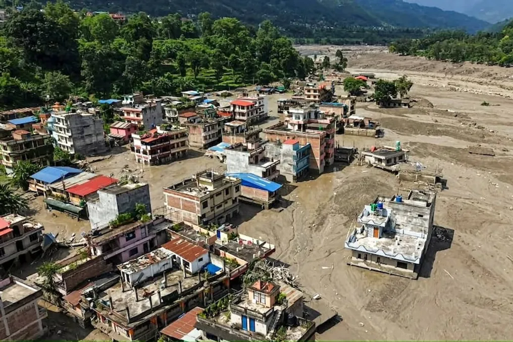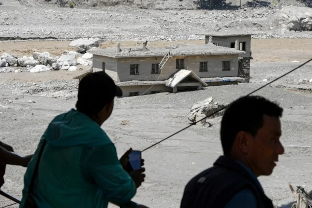
Following devastating floods in the Bhote Koshi River in Nepal, a new serious risk has emerged due to the formation of a large barrier lake on the border of Nepal and China. This lake is located at the confluence of the Chochhen Hola and Purepu Tsangpo rivers. Scientists and Chinese officials are remaining vigilant because the weakening of the natural dam holding back the water could lead to a sudden discharge of a large volume of water downstream.
China's Ministry of Water Resources has declared the next 72 hours critical and intensified monitoring in the region. Although this area does not directly border India, its river system is connected to India. According to current estimates, the confluence of the lake and rivers is located approximately 120–140 kilometers north of the Indian border, and also about 18 kilometers upstream from the Rasuwagharhi-Ghorong border crossing between Nepal and China.
The main concern is precisely this hydrological connection: the water flowing out of this area passes through Nepal and eventually enters the Gandak River, which then flows into Bihar. According to data published by China, the water level in the barrier lake is rising rapidly. Hydrogeological calculations show that the lake has already accumulated about 2 million cubic meters of water, with another 3 million cubic meters potentially accumulating behind the natural dam.
If the water pressure increases and the natural dam breaks, the situation could be classified as a Glacial Lake Outburst Flood (GLOF). In such a case, the water will not rise gradually but will rush down at tremendous speed, carrying stones, earth, trees, and debris. Chinese authorities have begun real-time flood modeling over the next 72 hours to understand the trajectory and speed of water spread in case of damage or dam breach. The warning was issued by China's Ministry of Water Resources and scientific circles around 3:30 AM on August 27.
The key question is whether there will simply be an overflow or a complete dam breach. These two scenarios carry different levels of threat: a slow release would give downstream residents more time to prepare, whereas a sudden breach would result in the arrival of a powerful wave in a very short time.
To understand the full picture, it is necessary to examine the river route. The waters of the Chochhen Hola and Purepu Tsangpo further integrate into Nepal's river system. The water connected to the Bhote Koshi flows towards the Trisuli River, which then flows into the Narayani or Gandak. It is this river that exits Nepal into Indian territory. Thus, although the lake is located near the border of China and Nepal, its water flow is connected to the river basin affecting Bihar and Uttar Pradesh. Therefore, people in the lower reaches should remain vigilant in case of a sharp rise in water levels in the upper basin.
This warning comes against the backdrop of recent destruction in Nepal caused by floods in the Bhote Koshi River. In areas such as Rasuwa, Nuwakot, and Dhading, homes, roads, and bridges have been damaged. Debris carried by the river has affected many settlements, and many people are still considered missing. Continuous monitoring of the river flow and upper catchments is underway after the floods, making China's fresh warning even more significant.
Over the next three days, the most important aspects will be the rise in water level in the barrier lake, the stability of the natural dam, and the volume and speed of water release in case of failure. This is why China is conducting continuous flood modeling. While this does not automatically predict a major flood in India, given the recent disasters in Nepal and the lake's connection to the Gandak river system, heightened preparedness is crucial in the coastal areas of Bihar and Uttar Pradesh. The next 72 hours will determine whether the lake remains stable or if its water suddenly rushes down.