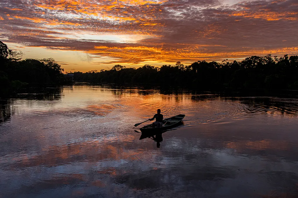
The deaths of indigenous activist Bruno Pereira and British journalist Dom Phillips in June 2022 brought the Javari Valley Indigenous Land, located in Western Amazonas, to international debate. Both were victims of an ambush while navigating the Itacoai River on their way to Atalaia do Norte (AM). The perpetrator of the crime, Rubén Dario da Silva Villar, acted to safeguard his illegal schemes of mining and fishing in the Amazon rainforest, practices that threaten the subsistence of indigenous communities.
Four years after the incident, the Javari Valley remains under threat from criminals, whose illegal actions compromise both the sovereignty of the territory and the cultural identity of the local inhabitants. Despite the great repercussion generated by the deaths of Pereira and Phillips, many other indigenous defenders continue to work in defense of the native peoples of the Amazon, running risks without receiving due attention.
To increase the visibility of this problem, the journal Nature Sustainability published an article prepared by 66 researchers from over 50 institutions. This work emphasizes the crucial need to protect the area surrounding indigenous lands, arguing that the reasons go beyond simple territorial demarcation.
Michel Eustáquio Dantas Chaves, a geographer and professor at Unesp, and Rodrigo Lilla Manzione, an agricultural engineer and professor at the same institution, participated in writing the text. Chaves justifies the choice of the Javari Valley because it is a trinational border, bordering Brazil, Peru, and Colombia. The density of the vegetation hinders effective inspection and policing work. However, the indigenous lands in the area possess economically valuable resources, and illegal logging for trade and gold extraction is already observed on their borders.
The group of researchers focuses on protecting these borders. They observe that, unlike Brazilian environmental conservation units, which have legally mandated buffer zones to protect internal biodiversity, demarcated indigenous lands, such as those in the Javari Valley, lack an analogous protection area. This gap facilitates the approach of illicit activities to the original peoples.
The study analyzed the impact of these activities, cross-referencing deforestation data provided by PRODES (Brazilian Amazon Forest Deforestation Monitoring Program by Satellite) from INPE with information on forest cover and land use changes registered on the MapBiomas platform. The findings revealed that the 200 km strip around the Javari Valley suffered a forest loss 187.5 times greater than that recorded within the demarcated territory, underscoring the importance of preservation in the surroundings.
Chaves made a direct appeal for the effective protection of indigenous lands and voluntarily isolated peoples, given that the latter cannot seek such support alone. He reported that many people in the vicinity prioritize deforestation and routes for the flow of illegal and agricultural products, including through the construction of highways that cross indigenous lands. As an example, there are plans to transform the meeting area of Amazonas, Acre, and Rondônia into an agricultural development zone.
For this reason, Chaves advocates for the implementation of buffer zones for indigenous lands, thus ensuring real protection. The Javari Valley hosts five groups in contact with neighboring society—Marubo, Mayoruna, Matis, Kanamari, and Kulina—in addition to two recently contacted peoples, Korubo and Tsohóm-Djapá, and at least 14 groups in voluntary isolation, constituting the largest concentration of these peoples in the country.
Professor Chaves warned that the ways of life of isolated indigenous peoples are poorly documented. Any intervention, such as clearing land, burning, or air contamination from smoke or water contamination from mercury, constitutes an attack on this way of life. He also mentioned the serious problem of drug trafficking in the region, which ignores boundaries and allows people to access original peoples through various activities.
Manzione used the Xingu Indigenous Park as a parallel. Although the territory is demarcated, the headwaters of the adjacent hydrographic basin remained unprotected and were covered by soybean plantations. Additionally, the construction of the Belo Monte Hydroelectric Plant in this area altered the course of the Xingu River, causing a strong impact on fishing and local culture.
The researchers indicated that there are currently no territorial planning plans for the region, much less one that integrates the three border countries. Chaves explained that this turns the area into a lawless place, attracting people, often without land. He added that even those whose land is legally protected may be unaware of the need for external protection.
The geographer stressed that, being a border area, solutions transcend Brazil, requiring transnational articulation to combat the problem at its source, tracing money and exports. However, he pointed out that these activities are generally not linked to the legal market but rather to clandestine trade that supplies other nations. A report by the Environmental Investigation Agency (EIA), released in early 2026, demonstrated that luxury hotels in Europe and the United States imported wood from protected areas in Pará to make decks, for example.
Manzione added that the longer the delay in intervention, the more these activities consolidate. He observed that there are generations of individuals who depend on logging, and even if the chain is eliminated and resources frozen, there will be a population contingent established in the region for decades who live off this practice.
As mitigation, Manzione suggested focusing on the financial aspect, making the activity costly and tracing the origin of products to interrupt the chain. Furthermore, it is vital to use satellite data to monitor changes in the Amazon and identify risk zones. However, this second strategy faces legislative threats.
Manzione warned about Bill 2564/25, quickly approved, which prohibits the application of environmental embargoes and sanctions based solely on satellite imagery or remote sensing tools. This means that environmental crimes, such as deforestation, can no longer be fined based only on satellite images, requiring physical presence in the areas, which are often inaccessible.
This bill was approved by the Chamber of Deputies in March 2026 and awaits processing in the Senate, where it could be vetoed. It concerns environmental leaders due to the regression it implies, as it weakens remote sensing work based on satellite imagery conducted by professionals from the Ministry of Science, Technology, and Innovation and agencies like INPE.
The researchers also addressed climate change. The western region of the Amazon is fundamental for the formation of rains that irrigate agriculture and livestock farming in the Center-South of the country. Therefore, the advance of deforestation can result in lower atmospheric humidity and reduced precipitation, affecting the regulated agricultural sector, which represents a large part of national revenue.
Chaves concluded that, without defending forest conservation coupled with monitoring and without environmental laws dialoguing with agricultural laws, the country will lose environmental, social, and economic aspects. According to him, it is possible to build sustainable development where preservation coexists with production, and the article aims precisely to correlate the indigenous humanitarian crisis with environmental and economic aspects in the context of climate change.
}} , 2. {