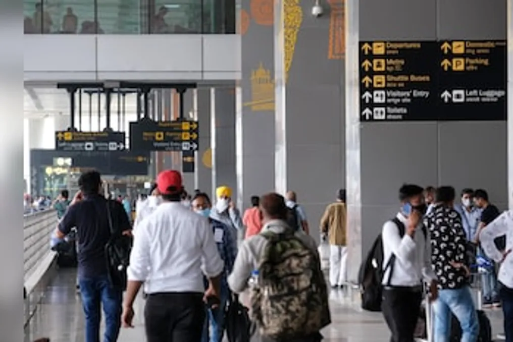
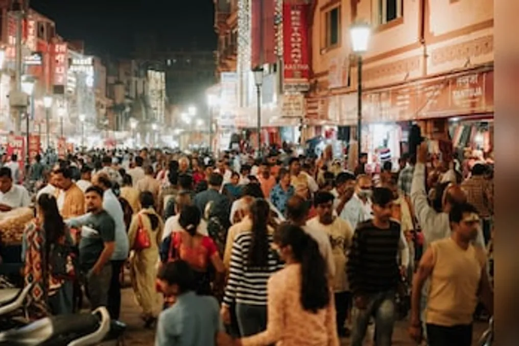
The government has announced the Delhi Master Plan for 2047 (MPD-2047), which forecasts that the capital will require approximately 4 million additional housing units as its population approaches 32 million by 2047.
This plan aims to meet housing demand through the redevelopment and densification of existing areas, Transit-Oriented Development (TOD), land pooling, and planned expansion into new zones. Future construction will be closely linked to the availability of roads, public transport, water supply, sewage, and other infrastructure.
The Ministry of Housing and Urban Affairs approved MPD-2047 as a major modification of the Delhi Master Plan 2021. The new plan comes into effect from the date of publication of the notification in the Gazette of India.
Four Million Homes for Delhi's Growing Population
According to the plan, Delhi's housing need is estimated at nearly 4 million housing units between 2011 and 2047, based on an average household size of 4.5 people. Planning identified high land costs and a shortage of affordable housing as factors contributing to the growth of unauthorized settlements, slums, and denser urban villages.
MPD-2047 proposes a two-pronged strategy. In already developed or industrial areas (brownfield areas), redevelopment, regeneration, and densification are promoted through TOD, mixed-use projects, and infrastructure modernization. Existing DDA housing, cooperative housing societies, government colonies, group housing projects, and other planned residential areas can be redeveloped provided the necessary infrastructure is available.
The plan also supports the restoration of slums and jhuggi-jhopri clusters, providing a basis for the improvement, legalization, and redevelopment of unauthorized settlements. For new territories (greenfield areas), future expansion will largely be determined by the land pooling model and other policy-driven development models. The goal is to create more self-sufficient neighborhoods with a mix of residential, commercial, industrial, recreational, and public functions.
TOD and Land Pooling to Transform Large Parts of Delhi
Four policy-defined areas play a key role in the new spatial strategy. Land pooling zones cover about 200 square kilometers, while low-density zones occupy approximately 150 square kilometers. TOD zones extend over about 200 square kilometers along metro corridors and around RRTS, railway, and high-speed rail stations.
An additional 20 square kilometers along the implemented Urban Extension Road II (UER-II) section have been designated as a high-density corridor zone. TOD is one of the central elements of the plan. Denser and mixed-use development is envisioned within a 500-meter corridor on both sides of existing and planned or approved metro routes, as well as within a 500-meter radius of major regional and inter-state transport hubs.
These areas can accommodate housing, offices, commercial activities, and other compatible uses, with higher building intensity aimed at placing more housing and jobs near public transport. The high-density corridor along UER-II will allow for a combination of residential development, warehousing, logistics, and commercial activities. Similar provisions may be extended to future UER sections after their construction.
Metro and RRTS Networks to Support Higher Density Development
Transport infrastructure will form the backbone of this high-density urban development model. The plan indicates that the Delhi Metro network is about 416 km and can be expanded by another approximately 279 km. The RRTS network is projected to reach a length of about 383 km, improving regional connectivity between Delhi and centers such as Ghaziabad, Meerut, Panipat, Karnal, and Alwar.
MPD-2047 seeks to integrate housing and employment with mass transit while increasing the role of walking, cycling, and other forms of active mobility. It also proposes improving last-mile connectivity and multimodal integration around transport stations. New construction must follow an 'infrastructure first' model. Projects must be guided by the availability of roads, public transport, water supply, sewerage, drainage, electricity, and digital communication to limit unplanned sprawl.
Rising Demand for Water, Waste, and Energy
Sustaining a population of 32 million will require a sharp expansion of urban services. The Delhi Jal Board estimates the need for drinking water at approximately 1600 million gallons per day (MGD) by 2047. An additional requirement of 401 MGD has been forecasted, proposing increases through short-term, medium-term, and long-term measures, including additional raw water and upstream storage projects.
It is proposed that wastewater treatment capacity reach approximately 1285 MGD by 2047, compared to the installed capacity of 814 MGD mentioned in the plan. Regarding municipal solid waste, generation is projected to almost double from approximately 13,500 tons per day in 2026 to 25,764 tons per day by 2047. Peak electricity demand at that time is estimated to reach about 25,500 megawatts.
Green-Blue Network from Ridge to Yamuna
Environmental sustainability is another key pillar of MPD-2047. The document notes that about 22 percent of Delhi is currently covered with greenery, and the plan aims to strengthen forests, biodiversity parks, urban green spaces, and ecological corridors.
The plan envisions an integrated 'green-blue' infrastructure network stretching from the Delhi Ridge to the Yamuna River, encompassing river floodplains, wetlands, lakes, drains, and other water bodies. It proposes ecological restoration, increased tree cover, improved hydrology, and nature-based measures to combat urban heat and enhance resilience to flooding and climate change.
Business Districts, Logistics, and Narela Education Hub
MPD-2047 also elevates economic development to a larger role in land-use planning. The plan proposes investment-attractive business and commercial districts with modern office spaces and transport links, as well as industrial and logistics clusters connected to highways, railways, and urban extension corridors.
A proposed 138-hectare education hub in Narela is conceived as a cluster for universities, research institutes, vocational training institutions, and startups. Specialized economic zones and mixed urban centers linked to public transport are also suggested. The private sector is expected to play a larger role in both new construction and redevelopment, including land pooling.
Plan to Be Reviewed Every Five Years
Unlike a largely static planning system, MPD-2047 mandates periodic monitoring of its implementation. A detailed review must be conducted every five years, supported by key performance indicators and annual progress monitoring. The creation of a specialized interdisciplinary monitoring unit within the Delhi Development Authority (DDA), along with GIS databases and inter-agency data exchange systems, is proposed.
The plan also foresees broader use of AI-based planning, digital twin applications, and data-driven decision-making as Delhi expands, with the DDA positioned as the leading agency for the capital's next phase of urban development.