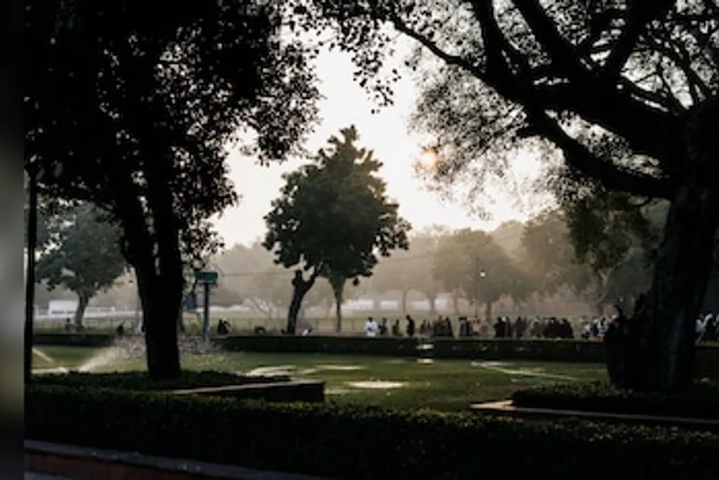
According to the Delhi Master Plan (MPD) 2047, approved on Thursday, it is proposed to create a 'Ridge-Yamuna' connecting park spanning 200 kilometers. This project includes a 52-kilometer section along the Yamuna river floodplain aimed at strengthening continuity between the Ridge and the Yamuna and improving urban connectivity.
A public green pathway, 75 to 100 meters wide, is planned, equipped with bicycle and pedestrian paths, as well as passive recreation areas where possible. This corridor is part of a broader 'Green Linkage' network that will connect parks, forests, biodiversity parks, baolis, green streets, and ecological corridors. Furthermore, the plan provides for the integration of Delhi's green and water resources with drainage systems, wetlands, lakes, and other water bodies.
Currently, Delhi has 22% green cover, but these assets are unevenly distributed. The Ridge, classified as a reserved forest, covers about 7,784 hectares, accounting for nearly 6% of the National Capital Territory (NCT). Additionally, the city has 26 protected forests covering approximately 1,658 hectares, and the Delhi Forest Department maintains 40 unclassified forests as 'Urban Forests.' The city also boasts over 18,000 parks and gardens, seven biodiversity parks, and 746 parks managed by the Delhi Development Authority (DDA), which cover 6,830 hectares.
What does 'green-blue infrastructure' mean?
The Master Plan integrates Delhi's ecological resources within a wider framework of green-blue infrastructure. Blue assets include the Yamuna River itself and the extensive network of natural and artificial urban drainage, much of which is within the Najafgarh, Trans-Yamuna, and Barapullah catchment areas. Wetlands, lakes, and other water bodies are also included in this category.
The plan proposes a three-phased approach: firstly, conserving and improving existing natural sites; secondly, creating new green-blue assets; and thirdly, integrating green-blue elements into the built environment. According to the plan, this approach will ensure 'improved greenery, higher biodiversity, reduced temperature, decreased flooding and pollution, and increased climate resilience.'
Moreover, the document calls for replacing invasive and alien species negatively affecting the ecology with local flora, conducting reforestation using native species, and carrying out regular monitoring of ecological assets.
Restoring the Yamuna at the heart of the plan
The Master Plan has identified the Vizarabad-Okhla stretch of 22 km as a key restoration zone. This segment, which carries about 76% of the Yamuna's pollution load, constitutes less than 2% of the river's total length. The plan points out the lack of freshwater inflow below Vizarabad during the dry season, as the river receives treated and untreated sewage through drains.
It is proposed to implement 13 major projects covering about 1,700 hectares of the floodplain, focusing on restoring wetlands, natural depressions, floodplain ecosystems, and biodiversity, while simultaneously enhancing climate resilience and groundwater recharge. The plan includes draining existing wetlands to retain floodwaters and creating new wetlands by deepening natural depressions into retention basins. It also suggests developing riparian forests, meadows, and green buffers along the river.
The active floodplain area has been designated as a 'no-construction zone,' although certain recreational, public, and socio-cultural uses require appropriate permits. To improve water quality, the plan mandates intercepting and treating all 22 drains flowing into the Yamuna through sewage treatment plants, artificial wetlands, and bioremediation. Their corridors will be integrated with green zones and floodplains to form 'continuous ecological corridors.'
The 200-kilometer Ridge-Yamuna cycling corridor
One of the main proposals for ensuring connectivity under the plan is the 'Ridge-Yamuna' connecting park. It envisions an integrated 200 km cycling network, including a 52-kilometer section along the Yamuna floodplain, intended to strengthen the so-called 'Ridge-Yamuna continuity.' Where feasible along embankments, a public green path of 75–100 meters could be developed, incorporating bicycle and pedestrian routes, as well as quiet leisure areas, aiming to improve access to parks and the river and strengthen the link between the river and its residents.
Approaches to creating 'green buffers' along drains
The connectivity proposed in MPD-2047 also includes developing green buffers along drains in the form of urban green pathways, which will form a city network of green-blue assets connected by pedestrian and bicycle paths. These buffers can remain either as natural or landscaped green areas or develop into wetlands and marshes. They may also include bio-drainage ditches for collecting stormwater runoff and recharging groundwater. The plan states that some sections can be used for parks, yoga, sports, open exhibitions and performances, botanical gardens, community gardens, boating, and kiosks. Some green paths may also represent historical trails.
Planning 'green-blue' extends to suburbs
MPD-2047 has expanded its 'green-blue' strategy beyond protected natural areas. In land consolidation zones, existing plantations, wetlands, and low-lying areas must be converted 'into public parks and catchment ponds for aquifer recharge' while maintaining the existing drainage pattern. The plan also proposes creating 'microforests, urban forests, green roofs and terraces, community gardens, pollinator gardens, and urban wetlands,' as well as artificial reservoirs for groundwater recharge.
Streets with a right-of-way of 18 meters or more should be greened using 'allée landscaping,' plazas, and 'bio-drainage ditches along drains.' Unused areas, including the Rajghat and Badarpur power plants, can be repurposed for 'ecological, recreational, or other public needs.' The plan also aims to make the city 'one of the greenest megacities' through reforestation, multi-level green buffers, expansion of urban forests, and preservation of the Ridge, while promoting native trees and restoring local forests.