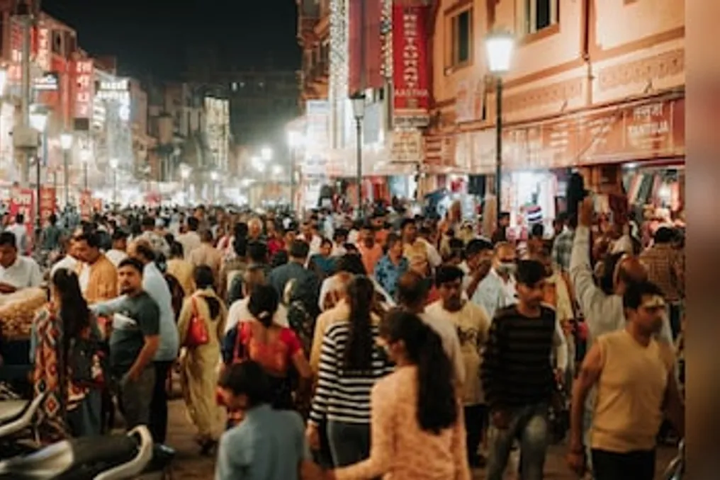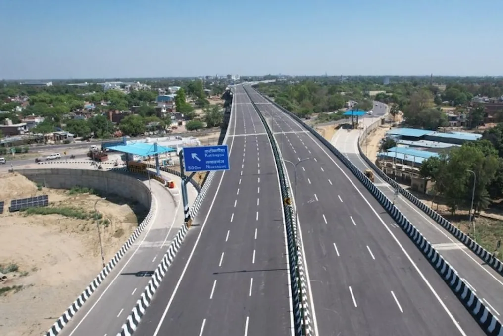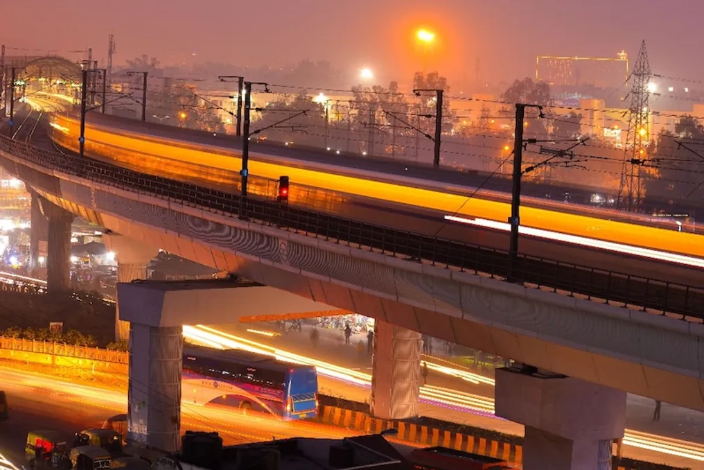
The future appearance of Delhi may change significantly in the coming decades. According to the Delhi Master Plan 2047, the city's skyline may be adorned with buildings over 100 stories high, as well as the emergence of 4 million new residential units, 700 kilometers of new metro network, pedestrian walkways, and communication lines.
This future plan includes proposals for creating internal waterways on the Yamuna and Sahibi rivers (also known as the Najafgarh drainage) and other canals, as well as introducing eco-friendly transport such as air taxis and aeropods.
It is planned to reconstruct major railway stations, as well as build new stations to handle growing traffic between railway hubs, ISBT, bus terminals, metro, and RRTS stations.
According to the document 'Delhi Master Plan 2047' (MPD 2047), released by the central government on Thursday, high-rise construction will be stimulated in areas with good infrastructure. Special attention is paid to zones located near mass transit corridors (such as metro lines) and large commercial and multi-functional centers.
MPD asserts that such construction will lead to compact urban development, reduce chaotic urban sprawl, and ensure efficient land use. Buildings over 100 stories high will become iconic structures, strengthening the unique image and silhouette of Delhi. Their design will conform to the surrounding urban environment, improving the quality of public spaces and giving the city a distinct identity.
In accordance with the plan, high-rise buildings should have as many open spaces at ground level as possible for creating public squares, landscaped areas, pedestrian routes, public amenities, and pedestrian-friendly green infrastructure.
The document emphasizes that the development of Delhi's skyline will be carried out purposefully, taking into account historical sites, ceremonial avenues, historic districts, and view corridors.
Minister of Housing and Urban Affairs Manohar Lal Khattar stated that the Master Plan cancels height restrictions on residential and commercial buildings in most parts of the city.
Construction of 4 Million Residential Units
Over the next two decades, the capital will undergo numerous changes, including the construction of 4 million homes, the expansion of the metro network to 695 km, and the appearance of high-rise buildings. The Union Minister announced that about 4 million homes will be built in the city, and the metro network will be expanded to 695 kilometers by 2047 to meet the needs of the growing population.
This Master Plan, released by the Ministry of Housing and Urban Affairs, provides for provisions such as multimodal transport hubs in Anand Vihar, Sarai Kale Khan, and Kashmiri Gate, a unified parking management system, and relaxations in the floor area ratio for different categories.
Releasing the 535-page Master Plan, Union Minister Manohar Lal, along with Deputy Governor of Delhi T.S. Sandhu and Chief Minister Reha Gupta, stated that this plan aligns with the vision of 'Developed India' 2047.
Khattar clarified that the rules regarding building heights have been abolished, but they will remain in force in certain areas. Such zones include the Lutyens' Bungalow area, Civil Lines Bungalow area, Connaught Place and its extension, Zone 'O' (Yamuna and Ridge floodplains), land acquisition areas, low-density areas, and territories restricted by the Archaeological Survey of India (ASI) or National Monuments Authority (NMA).
For residential houses on plots outside these special zones, the Master Plan sets maximum heights: 15 meters for plots without pile parking and 17.5 meters for plots with pile parking. The Minister also noted that commercial activity is permitted on the ground floor of houses up to 30 meters wide along residential streets.
The Delhi Master Plan-2047 proposes the creation of a 'right to walk' network across the city, pedestrian walkways, and multi-purpose zones exclusively for pedestrians. Various amenities such as drinking water, childcare services, street vendors, bicycle rentals, and parking will be available on these newly designed streets.
Under this plan, it is proposed to create multi-purpose zones along roads that will include seating areas, bins, information boards, public conveniences, toilets, childcare rooms, access to drinking water, street vendors and kiosks, as well as communication lines, parking, and public bicycle rental systems. Clean pedestrian zones will also be ensured.
Furthermore, it is proposed to create a network of safe, shaded, universally accessible, and continuous pedestrian routes connected to public transport throughout the city. In areas with high pedestrian concentration, such as busy commercial zones, historic districts, and 24-hour economy areas, an 'active zone' will be created.