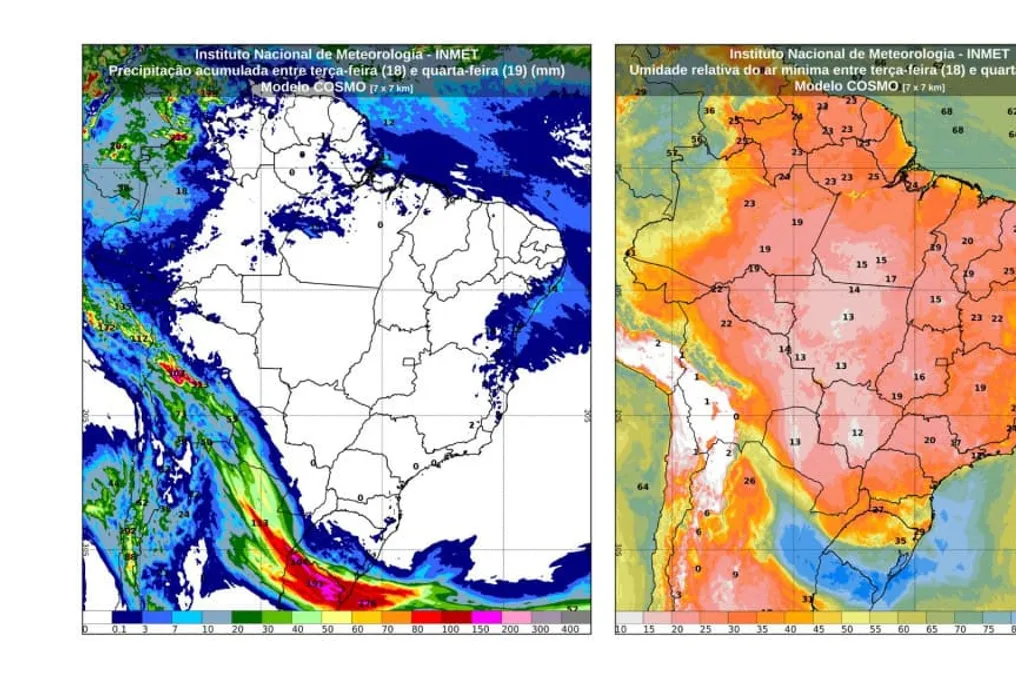
The National Institute of Meteorology (Inmet) issued an alert regarding increased instabilities in the Southern Region of Brazil due to the formation of an extratropical cyclone off the coast of Rio Grande do Sul early Thursday morning (20th).
Impact of the climatic system
The action of this meteorological system is promoting the transport of cold air masses, which contributes to the development of a cold front. This front advances through the area, resulting in temperature drops in the states of Rio Grande do Sul, Santa Catarina, and Paraná, as well as parts of southwestern Mato Grosso do Sul.
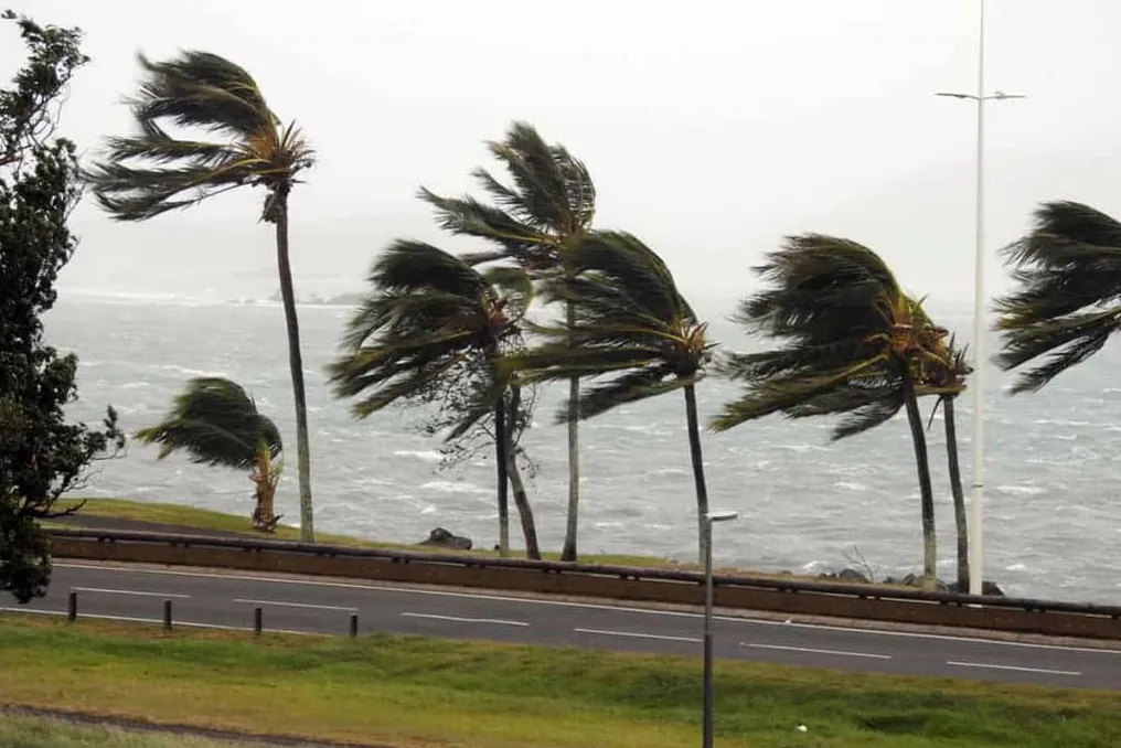
On Thursday, minimum temperatures are expected to fall below 10°C in southern Paraná, western Santa Catarina, and much of inland Rio Grande do Sul. Occurrences of concentrated rain and thunderstorms, initially in Rio Grande do Sul, tend to shift to the west and south of Santa Catarina and Paraná, also extending to southern Mato Grosso do Sul. Furthermore, the cyclone in Rio Grande do Sul may generate wind gusts starting on Thursday.
Zones of instability persist operating in Acre and the western and northwestern regions of Amazonas, where showers and thunderstorms are forecast. There is also a chance of isolated rains in northern Pará, Amapá, Roraima, northern and central Amazonas, and Rondônia. In other locations, such as southeastern Amazonas, southern Pará, and Tocantins, the weather will remain dry, with little cloud cover.
In large parts of the region, heat remains the predominant climate, with maximums reaching about 40°C in several municipalities. Among the capitals, Palmas is expected to record the highest temperature, with a forecasted maximum of 38°C, while Porto Velho and Manaus may reach 37°C. The lowest temperatures among the capitals should be 23°C, recorded in Rio Branco, Porto Velho, Palmas, and Belém.
In southern Mato Grosso do Sul, particularly on the border with Paraguay and Paraná, isolated rain showers accompanied by thunderstorms may occur. There is also a possibility of isolated rains in southwestern Mato Grosso and western Mato Grosso do Sul, where few clouds predominate in the other areas.
In eastern Goiás and the Federal District, mornings will be cold, with temperatures reaching 14°C. In southwestern Mato Grosso do Sul, the arrival of a colder air mass should cause a reduction in minimums, which may be around 14°C in Ponta Porã. Regarding the capitals, Brasília will have a minimum of 17°C, and in Cuiabá, the maximum forecast for Thursday is approximately 32°C.
Situation in the Southeast
In the Southeast, despite the presence of the cyclone in the South, the forecast points to continued sun, heat, few clouds, and low humidity in most of the region. Cloudiness is more concentrated in northern and eastern Minas Gerais, Espírito Santo, Rio de Janeiro, and the southern coast of São Paulo.
Among the capitals, Belo Horizonte will have the lowest temperature, with a minimum of 13°C. Maximum temperatures are expected to reach 32°C in both Belo Horizonte and Rio de Janeiro. Nights remain cold in Minas Gerais and in the mountainous areas of Espírito Santo, Rio de Janeiro, and São Paulo, with minimums close to 9°C.
The passage of the cold front linked to the cyclone brings rain and thunderstorms to western and southern Paraná and Santa Catarina. Rio Grande do Sul remains under strong conditions of instability, rain, and thunderstorms, with a drop in temperature throughout the day and the possibility of the minimum occurring during the night.
In southern Paraná, western Santa Catarina, and much of inland Rio Grande do Sul, expected minimums for Thursday should be below 10°C. Among the capitals, Porto Alegre and Curitiba will have minimums of 15°C; the maximum in Curitiba should reach 28°C, while Porto Alegre should not exceed 20°C.