IMD issues heavy rain warning in several districts of Uttar Pradesh; Monsoon to remain active until August 20
Read more
Aaj Tak
www.aajtak.in

IMD issues heavy rain warning in several districts of Uttar Pradesh; Monsoon to remain active until August 20

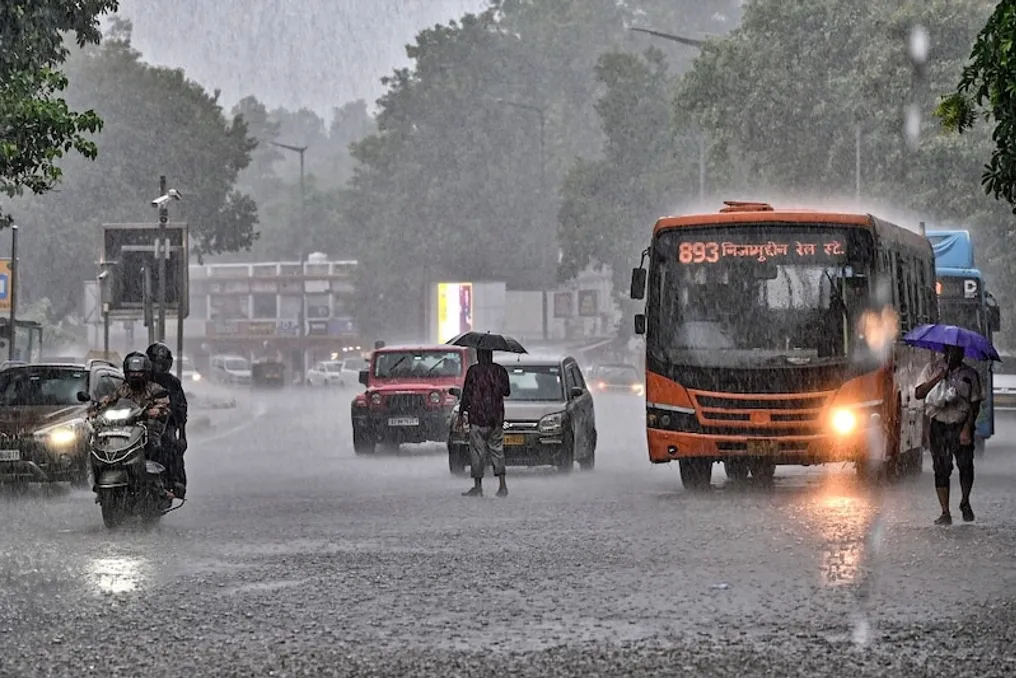
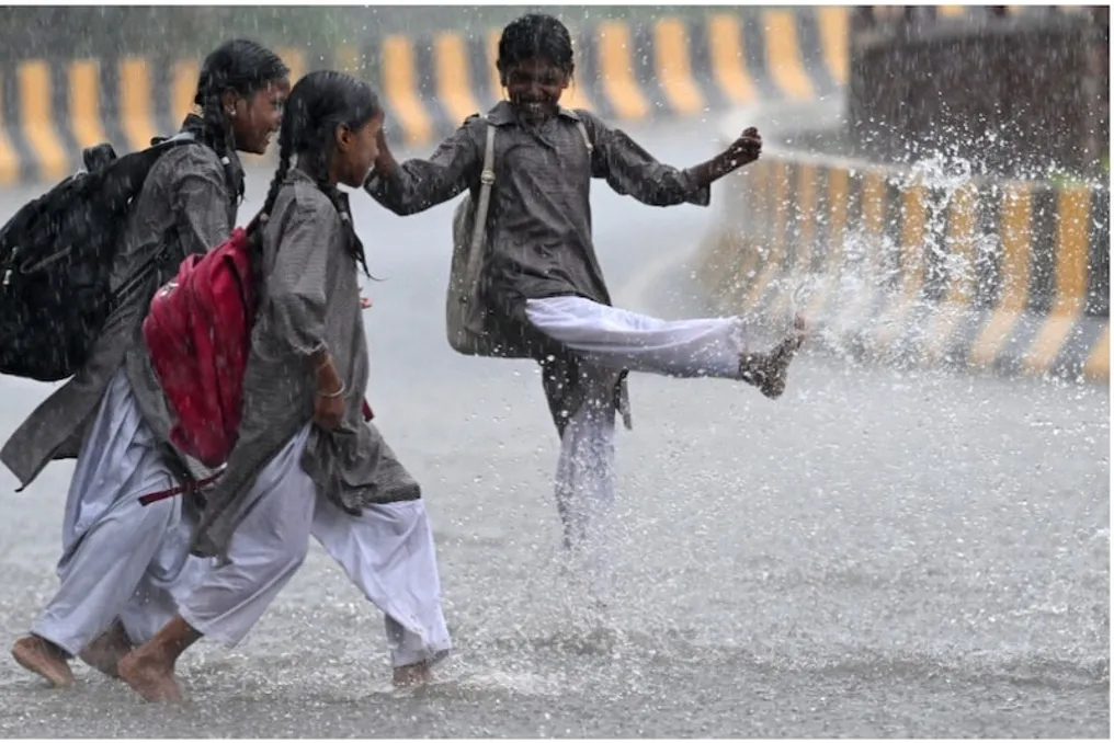
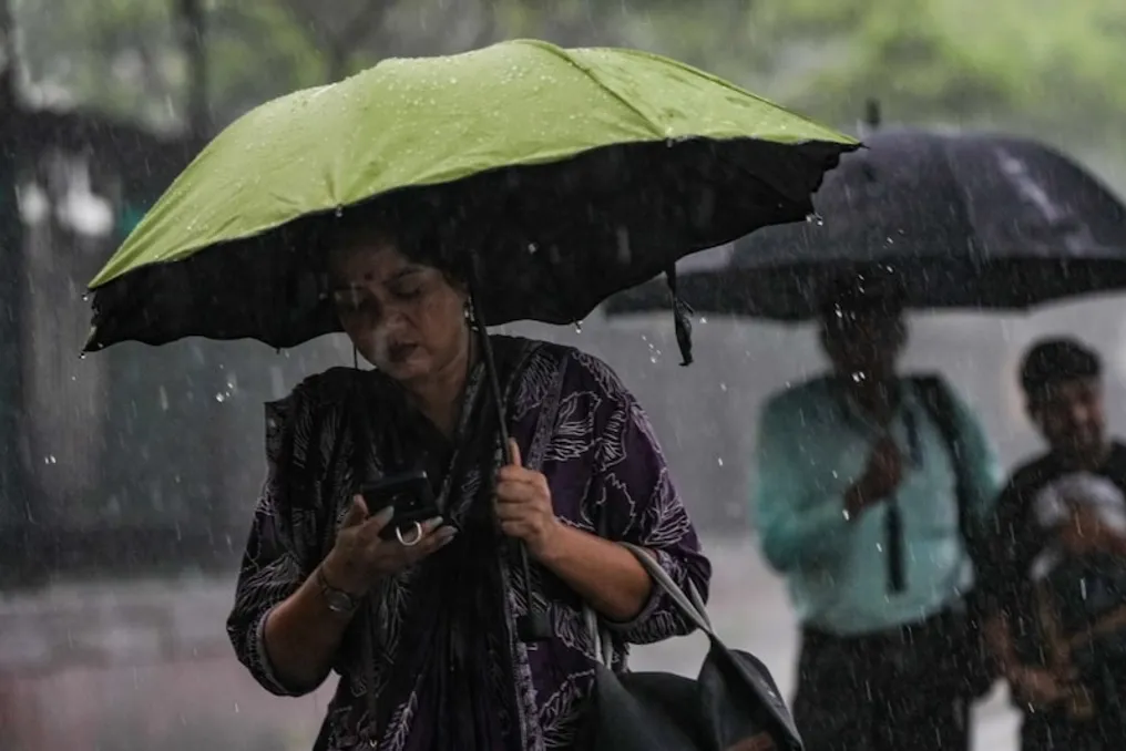
The monsoon has become active again in Uttar Pradesh, and according to the Meteorological Department, moderate to very heavy rainfall is expected in several parts of the state on August 19. The Meteorological Department has warned of a higher impact of rain in several districts of Eastern and Southern Uttar Pradesh, with the possibility of extremely heavy rainfall in some areas.

Under the forecast from 8:30 AM on August 19 to 8:30 AM on August 20, very heavy to extremely heavy rainfall is likely around Banda, Chitrakoot, Kaushambi, Prayagraj, Sonbhadra, Mirzapur, Chandauli, Sant Ravidas Nagar, and Mahoba. Even slight thunder in these areas could turn roads into rivers.

Additionally, an alert for heavy to very heavy rain has been issued for Fatehpur, Pratapgarh, Varanasi, Jaunpur, Hamirpur, and Lalitpur. The situation could worsen due to intense rainfall in Kanpur Nagar, Unnao, Raebareli, Amethi, Sultanpur, Jhansi, and surrounding areas.

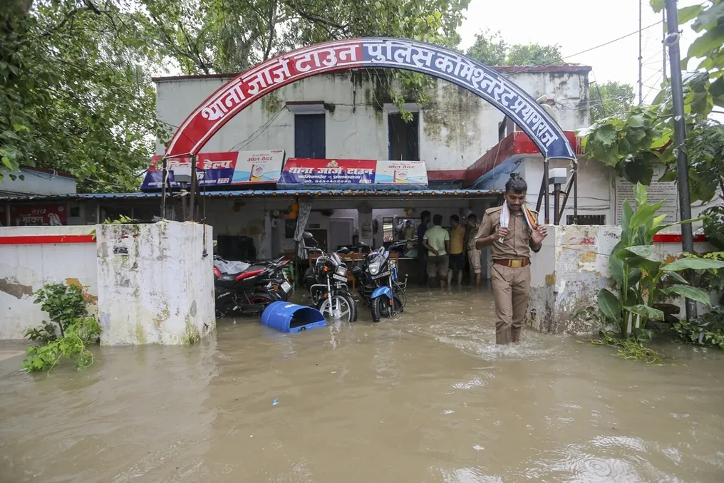
Previously, rainfall was observed in several districts of Uttar Pradesh on August 18 as well. Heavy to very heavy rainfall was predicted in many places in Eastern UP, while there was also a heavy rain alert in some places in Western UP. Waterlogging occurred in Prayagraj due to the rain, affecting public life.

According to the forecast issued by the Meteorological Department, heavy to very heavy rainfall was expected in Eastern Uttar Pradesh on August 18, along with mention of monsoon activities remaining active in the southern parts of the state.

As per the assessment of the Meteorological Department, monsoon activities in Uttar Pradesh are not showing signs of weakening currently. It is estimated that the spell of heavy rain will continue in the state until August 20. Continuous rainfall may lead to situations such as waterlogging in low-lying areas, increased water levels in rivers and drains, and traffic disruption. Waterlogging problems have already surfaced in several areas of Prayagraj due to continuous rain.

The Meteorological Department urges citizens to exercise caution during rain and thunderstorms. It is especially essential to stay away from waterlogged routes and fast-flowing drains in areas where heavy rain is warned.

Similar stories

Meteorologists warn of heavy rainfall: Monsoon active in several Indian states, including Delhi-NCR
Read more
www.aajtak.in

Meteorologists warn of heavy rainfall: Monsoon active in several Indian states, including Delhi-NCR

The monsoon is fully active in various parts of the country. The Meteorological Department (IMD) forecasts moderate to heavy rains in several states of North, Central, East, Northeast, West, and South India on Tuesday. Very heavy rains, thunderstorms, squalls, and strong winds are expected in some areas.

According to the IMD, the monsoon trough line has shifted south of its usual position and intensified, leading to the possibility of heavy rainfall in many regions of the country. The southward shift of the trough line strengthens the monsoon winds, increasing precipitation in coastal and central areas.

Furthermore, a low-pressure area formed in central Madhya Pradesh and surrounding areas is affecting the weather in Central India. There is also a possibility that cyclonic circulation over the Bay of Bengal may transform into a low-pressure area around August 12, which will lead to continued rains in eastern and central India in the coming days.

According to the meteorological department, rain is possible in several places in Delhi-NCR, Haryana, Chandigarh, and Punjab on August 11, with heavy rain forecasted in some areas. Sudden heavy downpours with thunderstorms are expected during the day. Cloudiness will persist in Delhi-NCR in the coming days, with numerous periods of light and moderate rain possible. Continuous periodic rain is also expected in the capital in the coming days, although despite the precipitation, temperature and humidity may remain high.

According to the Lucknow center, the monsoon will be active in many parts of Uttar Pradesh on August 11. There is a high probability of thunderstorms in some places in western Uttar Pradesh, and thunderstorms are also possible in eastern Uttar Pradesh. However, the impact of the rainfall in the state will be uneven. The Meteorological Department noted that the districts of western Uttar Pradesh and Bundelkhand are more sensitive to heavy rains, while other parts are expected to receive moderate to normal rainfall.

Extensive rains are expected in Uttarakhand on August 11, with heavy precipitation in some places. There is a threat of heavy or very heavy rains in areas such as Dehradun, Bageshwar, Nainital, and Haridwar. Rains in the state are forecast to continue until August 16. In Himachal Pradesh, heavy or very heavy rain is possible in some places on August 11. The weather in the state is expected to be humid until August 15, and after August 12, the activity of heavy rains may increase. Monsoon phenomena may also persist in Jammu and Kashmir, Ladakh, and surrounding areas for the next few days.

The Meteorological Department has called for special vigilance regarding the eastern districts of Rajasthan. A warning for heavy, very heavy, and extremely heavy rainfall has been issued for various districts in eastern Rajasthan on August 11. In some parts of the state, rains may continue until August 13. Meanwhile, weather conditions are expected to improve in western Rajasthan from August 14.

The low-pressure area over northern Madhya Pradesh is the main cause of rains in Central India. Rain, including heavy rain, is expected in several places in western Madhya Pradesh on August 11. Prolonged periods of heavy rainfall are also expected in eastern Madhya Pradesh. There is a risk of thunderstorms and lightning with heavy downpours in Chhattisgarh. After August 12, the activity of heavy rains in the state may intensify. The Meteorological Department has issued warnings for heavy, very heavy, and severe rains in several areas of Central India.

In Eastern India, rains may persist in Odisha, West Bengal, Sub-Himalayan West Bengal, and Sikkim. Heavy rains with thunderstorms and strong winds are expected in West Bengal and Odisha. Heavy rains are forecasted in Odisha on August 11, and heavy or very heavy precipitation is possible in some areas on August 12. The period from August 12 to 15 may bring extremely heavy downpours in some places. There is a possibility of thunderstorms and lightning in Bihar and Jharkhand. The activity of heavy rains in Jharkhand may increase from August 13.

In Northeast India, rains may continue in Assam, Meghalaya, and Arunachal Pradesh. Heavy rains are forecasted in some places in these states. Thunderstorms are also possible in Nagaland, Manipur, Mizoram, and Tripura. Further expansion of rainfall activity across the entire Northeast region is expected from August 12.

Widespread rain is expected in Konkan and Goa in West India. Heavy rains are possible in some places in Gujarat on August 11. The period of heavy rains in central Maharashtra may extend until August 12, and periodic rain is expected in several districts of Maharashtra for the next week.

In South India, the monsoon is active in the coastal states of Karnataka and Kerala.
IMD issues heavy rain warning for 28 districts of Uttar Pradesh on August 8
Read more
www.aajtak.in

IMD issues heavy rain warning for 28 districts of Uttar Pradesh on August 8

The monsoon has not subsided in Uttar Pradesh. The India Meteorological Department (IMD) has issued a new weather forecast for August 8, warning of heavy to very heavy rainfall in several districts of the state. The meteorological department assesses that due to the active monsoon flow in the Gangetic plains, rain may continue across the entire state for the next four to five days. In view of this situation, people are advised to exercise caution during waterlogging, lightning strikes, and intense rainfall.

According to the IMD, rain activity will be highest in eastern Uttar Pradesh on August 8. Additionally, there is a possibility of heavy rainfall in some places in both eastern and western regions on August 9 and 10, indicating that there are no signs of the monsoon slowing down. According to the latest IMD forecast, heavy to very heavy rainfall may occur in Prayagraj, Fatehpur, Mirzapur, Sonbhadra, Raebareli, Kanpur Nagar, Kanpur Dehat, Saharanpur, Muzaffarnagar, Etawah, Mainpuri, Firozabad, Auraiya, Jalaun, and Hamirpur within the next 24 hours. There is a risk of waterlogging in low-lying areas, overflowing of small rivers and drains, and traffic disruption due to excessive rainfall in these districts in a short period.

The meteorological department has also expressed apprehension of heavy rainfall in Varanasi, Chandauli, Jaunpur, Unnao, Amethi, Sultanpur, Meerut, Ghaziabad, Gautam Buddha Nagar, Agra, and Jhansi, where heavy rain with thunderstorms may occur. Experts believe that continuous rain could lead to waterlogging problems in many cities, so people are advised to pay attention to the warnings issued by the meteorological department. According to the IMD, a strong monsoon flow persists over the Gangetic plains, which will result in higher rainfall activity in eastern Uttar Pradesh. Districts such as Prayagraj, Mirzapur, Sonbhadra, Varanasi, Chandauli, Jaunpur, Amethi, and Sultanpur are likely to have cloudy skies and multiple spells of rain throughout the day.

Although the impact of rain will be greater in Purvanchal, western Uttar Pradesh will not be spared. Heavy spells of rain can also be seen in Saharanpur, Muzaffarnagar, Meerut, Ghaziabad, and Gautam Buddha Nagar, which will lead to a decrease in temperature and relief from humidity. IMD has also indicated the possibility of heavy rainfall in Kanpur Nagar, Kanpur Dehat, Fatehpur, Jalaun, Hamirpur, and Jhansi. Farmers and general citizens in these areas are advised to be careful of waterlogging. According to the meteorological department's data, the highest rainfall was recorded in Etawah district in the last 24 hours, with 126 mm recorded in Etawah tehsil and 120 mm in Chakarnagar. Furthermore, 89.2 mm, 85.6 mm, and 78.4 mm of rain were recorded in Mirzapur, Varanasi, and Lucknow, respectively, which clarifies that the monsoon is continuously active in many parts of the state. IMD states that the monsoon system will remain active for the next four to five days, leading to intermittent rainfall in various parts of the state, ranging from light to heavy showers.

Some important advice has been issued for the public: avoid non-essential travel during heavy rain; do not stay in open areas during lightning; do not drive vehicles through waterlogged routes; stay away from the banks of rivers and drains; it is mandatory to follow the warnings issued by the meteorological department and local administration; and farmers are advised to maintain proper drainage arrangements in their fields.

The latest forecast makes it clear that the monsoon is active in full force in Uttar Pradesh. Rain will occur in several districts in both eastern and western parts on August 8, and the threat of heavy to very heavy rainfall remains in some districts. Therefore, people need to be especially vigilant about the weather for the next 24 hours.

Latest IMD Forecast: Monsoon to Have Maximum Impact on 10 Districts of Uttar Pradesh on August 7
Read more
www.aajtak.in

Latest IMD Forecast: Monsoon to Have Maximum Impact on 10 Districts of Uttar Pradesh on August 7

The monsoon's impact continues in Uttar Pradesh. The Lucknow center of the India Meteorological Department (IMD) has issued a new forecast regarding the weather for August 7. According to the department, rainfall is expected to continue in most parts of the state, with heavy rainfall likely in several districts of Eastern Uttar Pradesh. In view of this situation, people have been advised to be cautious of potential hazards such as waterlogging, slippery conditions, and lightning strikes.

As per the IMD's Day-5 forecast (valid from 8:30 AM on August 7 to 8:30 AM on August 8), rain will occur in most districts of the state, although the maximum effect can be seen in Purvanchal and adjacent areas. The meteorological department's impact-based forecast has marked some districts as heavy rainfall zones.

According to IMD, there is a high probability of heavy rainfall in Prayagraj, Pratapgarh, Sonbhadra, Mirzapur, Chandauli, Sant Ravidas Nagar (Bhadohi), Jaunpur, Amethi, and Sultanpur. These districts may witness heavy rain along with thunderstorms. The meteorological department assesses that excessive rainfall in a short period may occur in some places in these areas, posing a risk of waterlogging in low-lying areas and an increase in the water level of small rivers and drains.

The released rainfall forecast map indicates that rainfall activity is likely to be higher across a larger part of Eastern Uttar Pradesh compared to the western districts. Cloud movement may persist throughout the day in the Varanasi Division, Prayagraj Division, and Vindhya region. Heavy rain may occur in places in Prayagraj, Mirzapur, Sonbhadra, Chandauli, and Varanasi, while good rainfall is also expected in Jaunpur, Amethi, Sultanpur, and Sant Ravidas Nagar.

According to the IMD rainfall forecast map, light to moderate rainfall is expected in most districts of Western, Central, and Eastern Uttar Pradesh, with showers accompanied by thunderstorms in some places. However, the maximum impact of heavy rainfall is estimated to fall on selected districts of Purvanchal. Due to the active monsoon, the weather may remain pleasant across the state, and relief from temperature is expected due to continuous cloud cover and intermittent rain.

In the IMD warning map, the districts of Purvanchal have been placed in the yellow alert category, where people are advised to pay attention to the changes in the weather. Special caution will be necessary while driving in areas prone to heavy rainfall. Experts suggest avoiding non-essential travel during heavy rain, and refraining from driving in areas with waterlogging.

This monsoon rain is considered beneficial for paddy and other Kharif crops. However, there is also a possibility of waterlogging in fields in areas experiencing heavy rainfall. Therefore, farmers need to maintain proper drainage arrangements to protect their crops from damage.

Points to Note:

  • Avoid unnecessary travel during heavy rainfall.
  • Do not stand in open fields or under trees during lightning.
  • Stay away from waterlogged areas.
  • Follow the instructions given by the meteorological department and local administration.
  • Drive vehicles at a slow speed and exercise extra caution when visibility is low.

Currently, the latest IMD forecast makes it clear that the monsoon is not weakening in Uttar Pradesh. Rainfall will continue in most parts of the state over the next 24 hours. Heavy rainfall in several districts of Purvanchal may affect daily life, while the remaining districts are likely to experience intermittent rain and cloudy conditions.

Popular