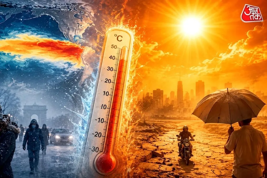
July 2026 ended tied with July 2024 as the hottest month ever documented on the planet since the start of measurements in 1850, according to data provided by the U.S. National Oceanic and Atmospheric Administration (NOAA).
This result was made public on August 11 by NOAA's National Centers for Environmental Information (NCEI). NASA classified July 2026 even more emphatically, designating it as the hottest July ever recorded. In contrast, the European Copernicus service placed the period second, while the Japanese meteorological agency considered the month tied with the top spot.
Traditionally, July is the hottest month annually for the globe, mainly due to the concentration of most landmasses in the Northern Hemisphere. NOAA states that July 2026 and July 2024 are 'more likely than not the hottest months ever recorded on the planet since 1850.'
This data also fits into a trend of high temperatures throughout 2026. From January to July, the year is already positioned as the third hottest period recorded for the first seven months of a year.
Despite the exceptional temperatures observed so far, NOAA projects a 99.9% probability that 2026 will finish among the four hottest years ever recorded, although it considers the chances of it being the hottest in history as practically nil. However, there is a crucial caveat to this projection: NOAA's statistical model does not explicitly account for the impacts of El Niño or La Niña. A record-intensity El Niño event is becoming progressively more likely, which could raise temperatures above initial projections.
Climate scientist Zeke Hausfather commented to Earth.com that 2026 might come very close to the record without necessarily breaking it, suggesting that 2027 would have a higher probability of setting a new historical mark in this scenario.
The extreme heat coincides with a significant record of severe weather events. The insurance broker Gallagher Re accounted for 29 weather disasters causing losses exceeding US$ 1 billion (approximately R$ 5.5 billion) worldwide in the first six months of 2026 alone. This list included nine occurrences of severe weather conditions in the United States, six floods, five windstorms in Europe, four winter-related events, three tropical cyclones, and two droughts—one in Brazil and one in the United States.
Total losses amounted to US$ 104 billion (about R$ 572 billion). Although this amount is high, it remained below the average of US$ 139 billion (about R$ 765 billion) recorded in the last decade, leading Gallagher Re to classify the first half as an 'manageable' start for the insurance sector.
In the United States, the organization Climate Central registered 12 climate and weather disasters with losses exceeding US$ 1 billion by the end of the first half, resulting in damages of at least US$ 31.9 billion (about R$ 176 billion). The costliest damage was a series of intense storms that affected the central and southern regions of the United States between April 23 and 26, causing US$ 6.8 billion (about R$ 37.4 billion) in losses and generating 99 confirmed tornadoes, in addition to over a thousand records of hail and strong wind damage across an area extending from Texas to Indiana.
More information
Another factor that may influence temperature behavior in the coming months is El Niño. A warning for this phenomenon remains active in the eastern Pacific. In a forecast released on July 9, NOAA estimated a 97% probability of El Niño persisting until early spring of 2027. Last Thursday (the 13th), the agency pointed to a 95% chance of the phenomenon being more intense than usual.
On August 10, weekly sea surface temperatures in the Niño 3.4 reference region were 1.8°C above average. This level is linked to a strong El Niño and is approaching the 2°C mark, which generally indicates very strong events. NOAA's Climate Prediction Center calculates a 100% chance of El Niño remaining active during the peak hurricane season, between August and October, and estimates a 48% chance of the phenomenon reaching very strong intensity during this period, rising to 81% between October and December.
However, El Niño can also generate an opposite effect on one of the climatic threats associated with the period. It has the potential to decrease Atlantic hurricane activity by intensifying wind shear over the region, potentially acting as a balancing factor against other conditions favorable for storm formation.
Warming also had repercussions in the polar regions. Arctic sea ice extent in July recorded the sixth lowest mark in 48 years of satellite monitoring, also being the third hottest July in the region. All ten hottest Julys in the Arctic occurred starting from 2012. Ice loss closely followed the pace of 2012 until mid-July, the year the Arctic reached the absolute record of lowest seasonal sea ice extent, but the melting rate slowed in the subsequent weeks, keeping the 2012 record intact for now.
In Antarctica, sea ice extent recorded the fifth lowest July ever documented. Interestingly, Antarctica itself registered below-average temperatures during the month, falling 0.27°C below normal, making July 2026 the coldest July in Antarctica since 2016.
Temperature extremes observed in July also drew attention. According to meteorological record tracker Maximiliano Herrera, the highest temperature in the Northern Hemisphere was reached in Omidieh, Iran, where thermometers recorded 52.7°C on July 14. The lowest temperature in the Northern Hemisphere was recorded in Greenland, with the Summit and East Grip stations marking -25.9°C on July 3 and 13, respectively. In the Southern Hemisphere, Pozo Hondo, Argentina, recorded the maximum with 41.6°C on July 17, while the cold record was set in Concordia, Antarctica, with -84.1°C on July 18.