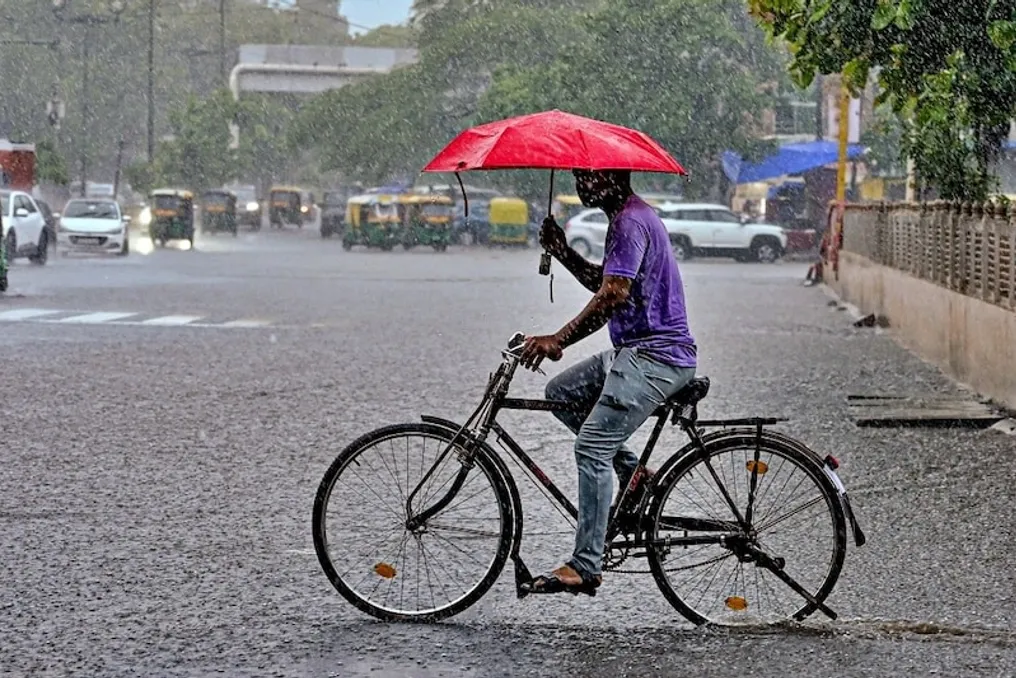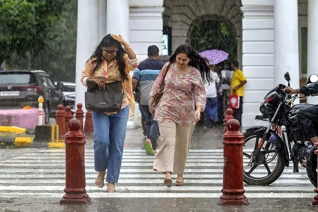
In the coming hours, the Delhi-NCR region may see a resumption of monsoon season activity, with forecasts predicting heavy rainfall. The Meteorological Department has issued an orange alert.
The IMD warned of heavy rains, thunderstorms, and lightning strikes in several areas of Delhi from 13:00 to 16:00 on Friday. The heavy rain forecast covers South Delhi, East Delhi, Shahdara, Central Delhi, North-East Delhi, South Delhi, New Delhi, South-West Delhi, West Delhi, North-West Delhi, and North Delhi.
The warning may also affect areas around the NCR, such as Gurgaon, Faridabad, Noida, Ghaziabad, and Sonipat. According to IMD data, this warning covers an area of about 893.8 square kilometers. Citizens and responsible persons are advised to follow the guidance of the State Disaster Management Authority.
Currently, Delhi has recorded a 20% decrease in rainfall compared to the normal amount. This rainfall deficit has persisted since the beginning of the monsoon season on June 4th until August 13th. However, rain is predicted for some parts of Delhi on August 14th and 15th.
After August 20th, there is a possibility of a new weather system forming in the Bay of Bengal. This system may move towards West Bengal, Odisha, Chhattisgarh, and West Madhya Pradesh. Upper air currents may create obstacles to this movement, potentially causing the system to deviate to the northwest. This could lead to increased rainfall in Delhi and other parts of North-West India.
There are currently no clear signs of very heavy rains in Delhi. According to the meteorological service forecasts, light to moderate rain and cloudiness may be observed in Delhi on August 14th and 15th. The maximum temperature for August 14th is forecasted to be around 34 degrees, and the minimum around 27 degrees.
The volume of rainfall in Delhi during the current monsoon season lags behind the norm, with a 20% deficit recorded by August 13th. The upcoming rains are expected to partially compensate for this deficit, although light precipitation is unlikely to eliminate the entire shortage.
According to meteorologists, after August 20th, a new system may form in the northern part of the Bay of Bengal. It could then quickly move into West Bengal, Odisha, Chhattisgarh, and West Madhya Pradesh, where heavy rains are expected. However, upper westerly winds might halt the system's movement in a more westward direction, forcing it to turn northwest. This could affect areas from West Nepal to Jammu and Kashmir.
The deviation of the system northward could cause the monsoon trough to shift north. If this happens, rainfall in Delhi, Haryana, Punjab, and Western Uttar Pradesh may increase. The monsoon trough is an important line influencing the zones of rainfall impact.
Rainfall is currently expected to continue on August 14th and 15th. The meteorological department predicts rain in several places in Delhi, Haryana, and Chandigarh over these two days. Nevertheless, there is no clear forecast for very heavy rains in Delhi yet. The exact picture regarding the system that may form after August 20th is not yet clear, and meteorological models will provide more information on its direction and intensity in the coming days, which will determine the intensity of rainfall in Delhi and the extent of its impact on the rainfall deficit.