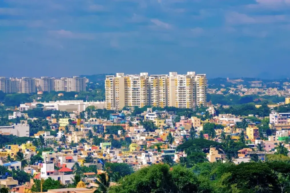
Researchers conducted one of the first independent stress tests for GlobalBuildingAtlas (GBA)—a large-scale new digital dataset aimed at mapping every building on the planet. The study, focusing on India's rapidly growing urban landscapes, found that while GBA demonstrates high accuracy in determining building locations on the ground, it systematically mismeasures their height, often underestimating the actual height of skyscrapers by more than half.
This finding is critically important for urban planning specialists and climatologists who rely on three-dimensional models to predict parameters such as energy consumption or floodwater movement in a city.
The work was carried out by a team from the National Remote Sensing Centre (NRSC) at ISRO. Researchers examined various urban areas, including Mumbai, Bangalore, and Hyderabad. As India experiences unprecedented urbanization, having a digital map of its cities has become a necessity for effective resource management.
GlobalBuildingAtlas was recently released as an open-access resource containing over 2.75 billion building markers worldwide. It is the first such resource to offer three-dimensional data at this scale, providing not only building outlines but also approximate heights and simplified 3D shapes. However, since these maps are created using artificial intelligence and satellite imagery, their accuracy can vary significantly depending on local conditions.
To verify GBA, researchers used the NASA ICESat-2 satellite as a space standard. This spacecraft employs a laser altimeter that sends trillions of photons to the Earth's surface, measuring their return time to determine height with centimeter accuracy. The team compared these laser measurements with GBA's height estimates for 20 representative structures, ranging from low-rise industrial warehouses to tall residential towers.
To assess horizontal accuracy, or outline accuracy, the team used high-resolution imagery from ISRO's Bhuvan portal, a remote sensing data visualization platform. These images were processed by the AI model, Segment Anything Model 2, to provide a ground truth.
The results for horizontal mapping were impressive. In planned residential communities across five major Indian cities, GlobalBuildingAtlas was nearly perfect, achieving a completeness coefficient of over 99%. In cities like Bangalore and Calcutta, the digital map matched the actual building. This indicates that GBA is an exceptionally reliable tool for understanding neighborhood density or the scale of urban sprawl.
However, the vertical results told a different story. Researchers discovered a systematic negative bias, meaning GBA almost always underestimated building heights. Errors became more significant as building heights increased. For example, for a 266-meter skyscraper in Mumbai, GBA estimated the height at only 113 meters, representing a discrepancy of over 150 meters. For mid-rise buildings, errors often exceeded 40%.
GBA uses monocular optical imaging, meaning it estimates height from two-dimensional photographs rather than using direct three-dimensional measurements. Although AI can analyze shadows and perspective to estimate height, it often gets confused due to complex roof shapes, nearby trees, or the close proximity of buildings in densely populated Indian cities.
Previous global datasets, such as those released by Microsoft and Google, primarily focused on two-dimensional outlines. GBA represents an ambitious attempt to add the third dimension—height—which is crucial for modern sustainable development goals. However, the ISRO study highlights a serious limitation. The AI models used to create GBA were largely trained on data from Europe and North America. Since architectural styles, building materials, and urban density in the Global South, especially in India, differ greatly, the AI struggles to correctly interpret the scenes.
Furthermore, GBA uses a simplified three-dimensional representation known as Level of Detail 1, which treats each building as a flat block, ignoring complex spires, pitched roofs, and helipads that characterize many Indian landmarks. The study concludes that while GlobalBuildingAtlas is a valuable resource for understanding the horizontal layout of our cities, it should be used with extreme caution when vertical accuracy is required. This work serves as a vital warning to society, as when designing smart cities, planning disaster response, or calculating rooftop solar energy, it is necessary to ensure that the data reflects reality. By identifying these height errors, the ISRO team provided a roadmap for future improvements, suggesting that integrating more laser data from satellites like ICESat-2 could eventually lead to a digital world as tall and complex as our own.