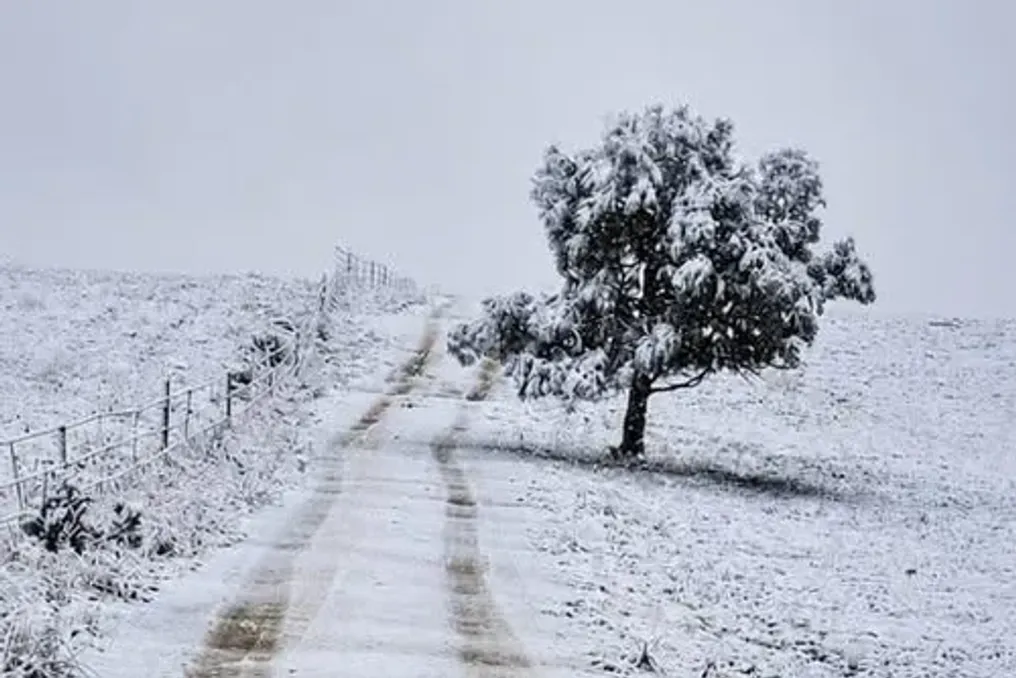
Residents and travelers in South Africa are advised to expect snow, heavy rain, gusty winds, and possible flooding due to an approaching powerful winter storm during the long weekend.
As South Africans experience the effects of winter, weather alerts with markings such as Yellow Level 2, Yellow Level 4, Orange Level 5 or 6, and Red Level 10 are becoming increasingly common.
The South African Weather Service (SAWS) uses a warning system based on impact assessment. This system is designed to inform not only about the forecasted weather but also about potential consequences for the population, infrastructure, and communities.
The color of the warning indicates the potential severity of the impact, and the number indicates the probability of that impact occurring. It is important to understand that a higher number does not simply mean stronger wind or more rain; it indicates that forecasters have a different level of confidence that the expected impact will occur.
What do SAWS colors mean?
SAWS signals are divided into yellow, orange, and red categories. Yellow warnings indicate the possibility of minor or major consequences, depending on the level and weather hazard. Orange warnings signal the possibility of major or serious consequences, requiring residents to take more proactive precautions. Red warnings are reserved for the most critical situations, where serious consequences threatening life, property, and infrastructure are expected.
The numbers work in conjunction with these colors. SAWS has previously clarified that the system considers both the expected impact and the probability of its occurrence. For example, a major impact with a very low probability may result in a low yellow warning, whereas the same impact with a higher probability may trigger an orange warning.
What does Yellow Level 1 or 2 mean?
Although yellow warnings include minor consequences, low levels of yellow should not be ignored. Yellow Level 1 or 2 may indicate localized issues such as damage to vulnerable structures, falling trees, temporary power or communication outages, and difficulties for high-sided vehicles on open routes.
In April 2026, SAWS issued a Yellow Level 2 warning for destructive winds in parts of the Eastern Cape, warning of possible local damage to settlements and temporary structures, as well as local disruptions to power and communication networks.
Recommendations for residents include: securing unsecured outdoor furniture, containers, garden equipment, and other items; checking the integrity of doors, windows, and garage doors; avoiding parking under large or damaged trees; caution for drivers, especially those operating high-sided vehicles, on open roads; and constantly monitoring SAWS updates in case the warning level increases. Yellow Level 2 is essentially a preparedness and vigilance warning.
What changes at Yellow Level 3 or 4?
As the potential impact and/or probability increase, the warning may escalate to Yellow Level 3 or 4. Yellow Level 4 is typically associated with weather conditions capable of causing more noticeable disruptions. Regarding destructive winds, this can include fallen trees, roof or structural damage, transport disruptions, and hazardous conditions for coastal activities.
During a cold front in May 2026, SAWS issued a Yellow Level 4 warning for destructive winds and waves along part of the West Coast, warning of navigation hazards at sea.
Residents are advised to complete all preparations before the strongest winds arrive; avoid unnecessary travel through open areas; secure all outdoor items that could become airborne; stay away from trees, unstable structures, and areas where debris might fall; if you live in a vulnerable structure, find a safer place to shelter; and coastal residents and visitors should avoid unnecessary recreational activities at sea. At this stage, residents must think not just about 'weather watching' but actively reducing their exposure to danger.
Orange Level 5
Orange warnings indicate a more serious situation. SAWS describes an Orange Level 5 warning as indicating a medium probability of massive consequences. For instance, during severe thunderstorms, these consequences may include flooding, destructive winds, hail, and excessive lightning.
Regarding destructive inland winds, SAWS warned that Orange Level 5 could lead to damage to formal and informal settlements, power outages, and road closures due to falling trees.
Recommendations for residents: avoid unnecessary travel when strong winds are expected; stay indoors during the worst conditions if possible; move vehicles away from trees, poles, and other structures that might fall; secure or bring inside unsecured items; stay away from windows if the wind becomes extreme; charge phones and keep flashlights handy in case of power outages; follow instructions from municipal disaster management authorities; if travel is unavoidable, expect falling trees, debris, and possible route closures. Orange Level 5 should be viewed as a warning to take precautions and reconsider travel.
Orange Level 6 and above: serious disruptions possible
Orange Level 6 represents a higher probability of serious consequences. For example, during harsh weather in May 2026, SAWS issued an Orange Level 6 warning for destructive winds and waves with possible navigation hazards at sea and damage to coastal infrastructure. Simultaneously, an Orange Level 5 warning was issued for inland winds. The distinction is important: the same type of hazard can receive different warning levels depending on the expected impact and the probability of its occurrence.
Recommendations for residents: avoid unnecessary journeys; stay indoors during peak wind periods; do not go out to sea or participate in coastal recreational activities; stay away from beaches, cliffs, and open coastal areas when dangerous conditions are forecast; prepare for possible power outages and transport disruptions; follow evacuation or sheltering instructions from authorities; check on vulnerable family members, neighbors, and people living in fragile buildings. At Orange Level 6 and above, residents should not just wait to see if conditions worsen; preparation must be completed in advance.
What about Orange Level 8 or 9?
The highest orange levels indicate the potential for severe consequences. SAWS reports show how the number reflects both probability and impact. During floods in KwaZulu-Natal in April 2022, a Level 8 warning indicated a low probability of serious consequences, while a subsequent Level 9 warning indicated a medium probability of serious consequences.
In January 2026, SAWS described an Orange Level 9 warning for torrential rain as carrying a medium probability of serious consequences, including widespread and dangerous flooding, major road and bridge closures, infrastructure damage, and threat to life.
Recommendations for residents: stay indoors unless evacuation or other necessary movement is required; avoid driving unless absolutely necessary; do not attempt to cross flooded roads, bridges, or rivers; move to higher ground if you are in a flood risk zone and advised by authorities; immediately follow official evacuation instructions; keep emergency supplies, medications, phones, and important documents handy; expect power, communication, and transport disruptions. At these levels, the warning ceases to be merely an inconvenience; lives and critical infrastructure may be at risk.
Red Level 10: the most severe warning
Red Level 10 is reserved for events where serious consequences have a high probability. During floods in Limpopo and Mpumalanga in January 2026, SAWS issued a Red Level 10 warning. SAWS forecaster Lehlokhonolo Tobela explained that Level 10 signifies a high probability of serious consequences and expected widespread damage. This is a point where residents should treat the warning as an emergency, not just a regular weather bulletin.
Recommendations for residents: stay indoors or move to a designated safe place; do not travel unless mandated by authorities or necessary to escape immediate danger; evacuate immediately if ordered; stay away from rivers, streams, reservoirs, and other flood-prone areas; do not attempt to drive through water; stay clear of damaged buildings, power lines, and fallen trees; monitor updates from SAWS, municipalities, provincial disaster management, and emergency services; do not spread unverified information on social media or WhatsApp.
What exactly does 'destructive wind' mean?
'Destructive wind' does not necessarily mean a specific wind speed that automatically triggers a SAWS warning. The warning system is based on impact assessment. Forecasters assess the expected weather conditions in conjunction with factors such as location, topography, infrastructure, and community vulnerability. This means that the same wind conditions can have different consequences in different places.
SAWS has previously explained that wind impacts can include fallen trees, damage to settlements and temporary structures, scattering of debris and sand, power and communication outages, and difficulties for high-sided vehicles. For example, during a warning in May 2026, SAWS identified possible damage to formal and informal settlements, power outages, and route closures due to falling trees from destructive inland winds. In another Yellow Level 2 warning, SAWS specifically pointed to localized damage to informal settlements, fallen trees, and difficulties for high-sided vehicles on exposed routes. Thus, strong wind can become dangerous even if not every location experiences the same wind speed or damage.
Why can wind be particularly dangerous?
Wind can turn ordinary household and garden items into projectiles. Unsecured roofing material, outdoor furniture, billboards, branches, and other loose objects can be scattered, causing injuries or property damage. Trees can also fall, especially where the soil is saturated after heavy rain or where trees are already weakened.
Strong wind can disrupt electrical and communication infrastructure and significantly impede driving for high-sided vehicles. In coastal areas, the danger can be even greater, as strong winds can combine with large waves, making navigation hazardous and potentially damaging coastal infrastructure. SAWS issued an Orange Level 6 warning for destructive winds and waves in May 2026 precisely because of the risk to navigation and coastal infrastructure.
The SAWS warning level is not a simple scale where Level 10 means ten times stronger wind than Level 1. The system combines the potential impact of an event with the probability of its occurrence. This is why Yellow Level 4 and Orange Level 5 can relate to the same type of hazard but have different colors and numbers. The practical rule for residents is simple: Yellow—prepare, be vigilant, and monitor updates. Orange—take action, secure your property, and reconsider unnecessary trips. Red—treat the warning as an emergency, avoid exposure, and immediately follow official instructions.