
Olhar Digital News presented its highlights for Monday, August 3rd.
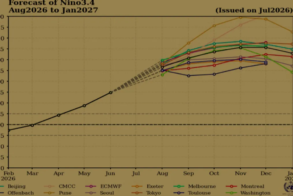
The World Meteorological Organization (WMO), a UN agency, issued an alert regarding the El Niño phenomenon. According to the WMO, this phenomenon is expected to continue intensifying, reaching its peak activity between August and October 2026. Due to an unusual oceanic warming scenario, with water temperatures up to 2.9°C above average, there is an increased risk of droughts, floods, and wildfires in various regions of the planet.
In another event, WhatsApp users in different countries reported the sudden blocking of their accounts. The reason provided by the platform is a review of the terms of service, a process that can take up to 24 hours to complete. Reports on social media suggest that the affected profiles had not committed any violations of the application's rules.
In the aviation sector, Eve Air Mobility, a subsidiary of Embraer, reached a significant milestone in the development of its eVTOL. The first transition flight of the prototype was conducted, testing the change from vertical to horizontal movement by activating the rear propeller, a phase considered one of the most challenging to confirm the aerial vehicle's concept.
Chinese Artificial Intelligence: A More Economical Option?
Chinese companies have intensified global competition in the field of artificial intelligence by introducing cost-reduction focused launches, which pressures American competitors. In this context, Alibaba released the Qwen3.8-Max model, while DeepSeek drew attention with V4-Flash, which operates for only three cents per million tokens.