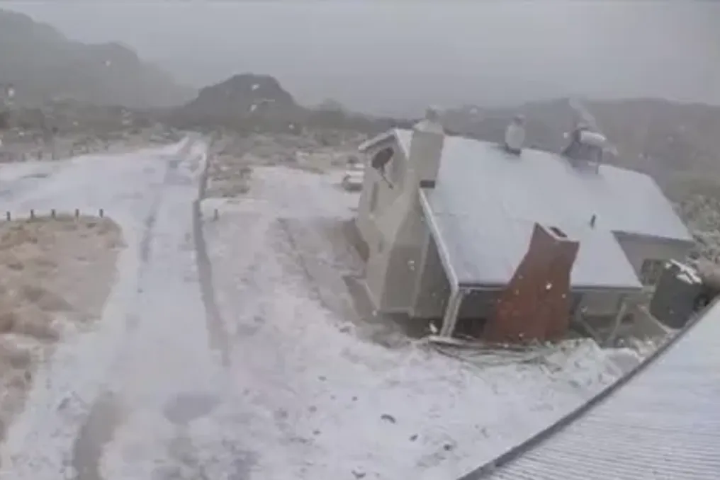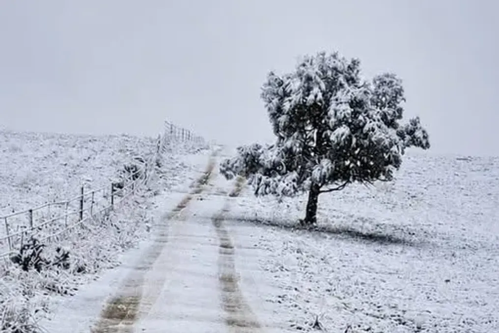
Very cold and windy conditions are expected in the affected areas, with snowfall in mountainous regions and rough or very rough seas. Large parts of the Eastern Cape are preparing for destructive snowfall, dangerous winds, and heavy rains; severe weather is expected to cause disruptions to travel and service operations from Monday to Tuesday.
The South African Weather Service (SAWS) has issued an Orange Level 6 warning for destructive snow for the municipalities of Chris Hani, Senqu, eLundini, and Matatile. This warning is valid until Tuesday, August 11, and could potentially cause serious transport problems, affect livelihoods, and temporarily render some communities inaccessible.
Destructive Winds
A Yellow Level 4 warning for destructive wind and waves has also been issued along the coast of KwaZulu-Natal. Weather conditions may disrupt the operation of small harbors and ports, create dangerous navigation conditions, and affect coastal activities. Furthermore, infrastructure and settlements may sustain damage, and flying debris poses a risk of injury and death.
A separate Yellow Level 4 warning for strong winds covers the KZN coast and adjacent northeastern inland areas, where formal and informal settlements may be affected.
More Snow and Rain Expected
A Yellow Level 2 warning for destructive snow is in effect for some areas of the Eastern Cape, the eastern and southern parts of Free State along the Lesotho border, and the western part of KwaZulu-Natal. The snow may trigger localized transport difficulties, individual losses of livestock and crops, and service disruptions.
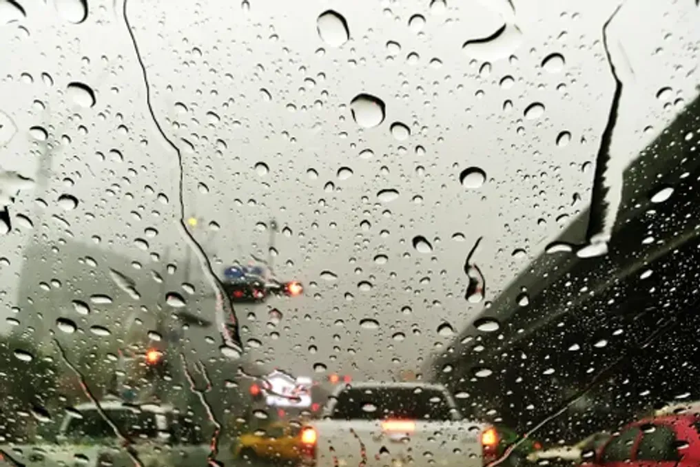
Affected Eastern Cape municipalities include Dr Beyers Naude, Blue Crane, Raymond Mkhala, Amalati, Intsika Yetu, Dr AB Zuma, Mkhontlo, and Mzimvubu. A Yellow Level 2 warning for destructive rain has also been issued for the municipalities of Nyandeni, Port St Johns, Ngqwa Hill, and Bizana in the Eastern Cape, as well as for the southernmost and westernmost parts of KwaZulu-Natal. The rains may lead to localized flooding in vulnerable settlements, roads, and bridges.
Heavy thunderstorms capable of causing localized damage to infrastructure, informal settlements, property, and vehicles are expected over the southernmost areas of the Northwest, northeastern Free State, and southern Gauteng. Another Yellow Level 2 warning for strong winds has been issued for parts of the Joe Gqabi district in the Eastern Cape, central and eastern North Cape, Free State, and far western Northwest.
KZN Disaster Response Teams on High Alert
KwaZulu-Natal Minister of Cooperative Governance and Traditional Affairs, Thulatishe Buthelezi, announced that provincial disaster response units have been placed on high alert following the severe weather warning. According to the notification, a cold front accompanied by isolated low pressure is expected in Free State, Western Cape, North Cape, Eastern Cape, southern Gauteng, Mpumalanga, and inland KwaZulu-Natal until Tuesday.
Very cold and windy conditions, snowfall in the mountains, and rough or very rough seas are forecast in the affected zones. The public and smallholder farmers have been advised to take necessary precautions. Residents in affected areas are advised to exercise caution, especially when traveling, while emergency operations centers will monitor conditions during the warning period. Authorities in KZN have urged residents to contact their local dispatch center or municipal disaster management center if immediate assistance is required.