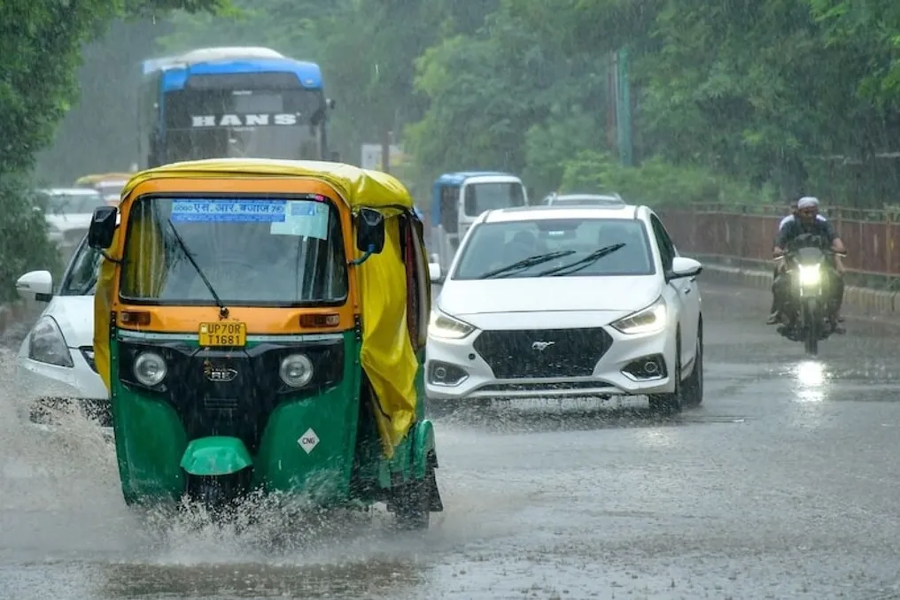
Heavy rains in Delhi and the National Capital Region (NCR) on Friday, August 7, 2026, seriously affected the city. According to data from the India Meteorological Department (IMD), a total of 127 millimeters of precipitation was recorded in the capital during the first seven days of August. This marks the highest rainfall for the first week of August since 2011.
On average, only 42 millimeters of rain fell during this period over the last two decades, but this time the monsoon season broke that record. In many areas, streets were flooded, traffic jams occurred, and the load on the drainage system significantly increased. Pushpa Vihar received up to 147.5 millimeters, while Chhatarpur recorded 131 millimeters. Palem also registered a record daily rainfall amount for many years.
This intense rainfall was due to the simultaneous impact of several atmospheric systems. The IMD reported that the monsoon trough extended from Gangnaghar through Delhi, spreading to southwestern Uttar Pradesh and adjacent territories, moving towards the Bay of Bengal. A low-pressure area developed in southwestern Uttar Pradesh and neighboring regions, accompanied by cyclonic movement extending to an altitude of about 4.5 kilometers.
Furthermore, a western disturbance was active over northwestern India. The combination of all these systems intensified moisture inflow and created favorable conditions for rains across the northern plains. The active phase of the monsoon continued in North India, negatively impacting Delhi-NCR.
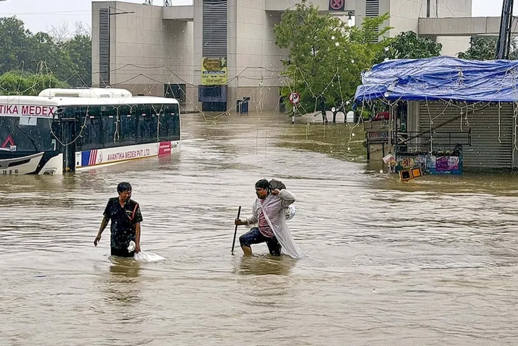
The rains on Friday caused street flooding up to four feet deep in many areas. Around the Red Fort, at the border of Kapashera, on the Mehrauli-Badarpur road, in ITO, on Vajirabad road, and other key highways, vehicles were blocked. Gurgaon also received 67.5 millimeters of rain, and reports of flooding were received. Significant rainfall also occurred in Jewar and Dadari, near Noida, leading to water entering residential complexes and causing inconvenience for residents. The old drainage system and the increase in built-up surfaces hinder rapid water runoff, resulting in traffic stoppages and multi-hour waits for passengers.
Although the temperature slightly decreased, bringing relief from the humid heat, the flooding situation disrupted daily life. The air quality index remained at a satisfactory level. On Saturday, August 8, cloudy weather with a chance of light to moderate rain is expected in Delhi. Very light or light rain is possible in some places in the morning and afternoon, with light rain again in the evening or night.
Although heavy rain like on Friday is not expected, the active monsoon pattern will persist. The maximum temperature is forecast to remain between 30–32 degrees Celsius, and the minimum temperature will also decrease slightly. Quite extensive rainfall is predicted in Haryana, Chandigarh, and Delhi, although there is no special warning for heavy rain in Delhi. Rains may continue in some parts of North India in the coming days, although the intensity is expected to gradually decrease.
This first-week-of-August record indicates increased monsoon activity this year. More precipitation than normal has been recorded at many stations, including Safdarjung, with some areas showing an excess of 50% to 200%. The need to strengthen the city's drainage system is constantly emphasized. The increased frequency of extreme rainfall due to climate change raises the risk of urban flooding. The IMD is conducting constant monitoring and urges people to remain vigilant. Residents of areas such as Gurgaon are also advised to stay indoors during work hours. This monsoon activity can be beneficial for farmers but poses a problem for city dwellers. The monsoon period in Delhi-NCR serves as a reminder of the need for preparedness in unpredictable weather conditions. Although heavy rains bring relief, flooding and transport issues complicate life.