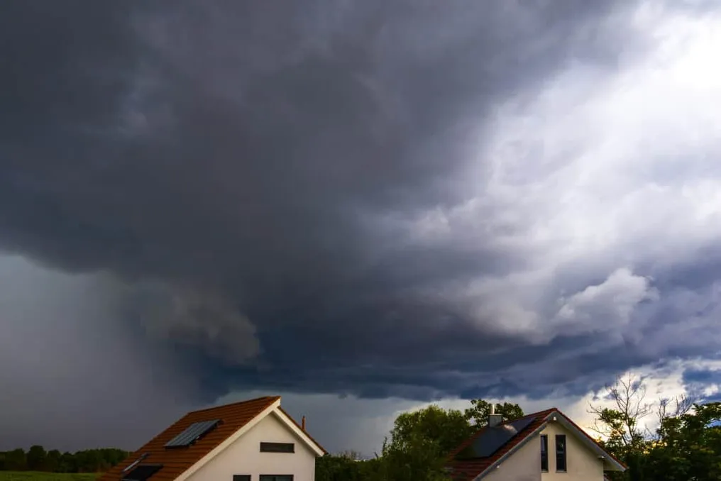
An intensifying extratropical cyclone over the South Atlantic has placed the Southern Region on alert between Thursday (6) and Friday (7). This phenomenon increases the risk of strong winds, storms, and hail.
The effects of this cyclone are also expected in southern Mato Grosso do Sul and São Paulo, where the National Institute of Meteorology (Inmet) forecasts isolated rains and thunderstorms. The most severe scenario is in the south-central part of Rio Grande do Sul, which is under a red alert for great danger of storms. In all three states of the Southern Region, the forecast points to intense rain, thunder, wind gusts, and the possibility of hail.
On Friday (7), although the cyclone begins to move away, it will still maintain areas of instability over Paraná and western Santa Catarina. Subsequently, a cold air mass will advance, causing a sharp drop in temperatures.
Main predicted impacts
Among the most significant anticipated impacts are the progression of unstable areas to southern Mato Grosso do Sul and São Paulo, maintaining conditions favorable for isolated rain and storms during the two forecast days. In São Paulo, precipitation is expected to increase in intensity, potentially reaching southern Minas Gerais and Rio de Janeiro. This area will also remain under alerts related to strong winds and low humidity in specific locations.
In the Central-West, Mato Grosso do Sul is the main focus of windstorm and storm alerts, while other regions of the state will have stable weather. While the cyclone concentrates its effects in the South-Central region, rains will remain restricted to Western Amazonia and parts of the coastal strip of the Northeast.
In the interior of the country, the predominant weather is dry, characterized by low relative humidity levels in parts of the Central-West, Southeast, and Matopiba. In the Northeast, warnings of strong winds persist in certain coastal areas and low humidity in several states.
After the passage of the cyclone, a cold air mass will begin to advance over the Southern Region. Because of this, Porto Alegre may record 8°C on Friday night, while Palmas and Teresina have the potential to reach up to 36°C. Inmet continues to monitor the cyclone due to potential impacts on Southern Brazil.